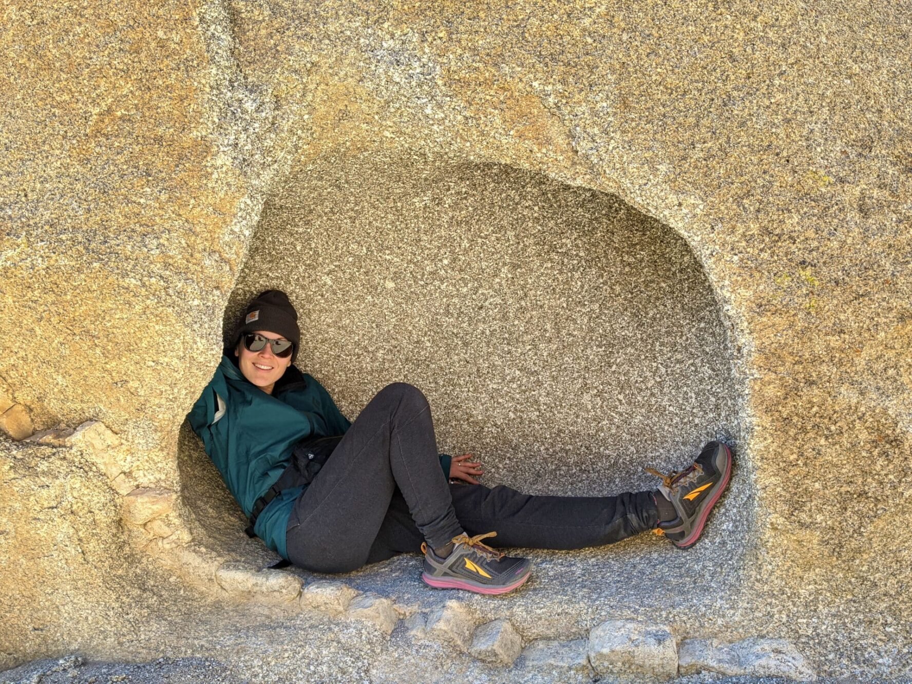
Who else would you want to take trail advice from than a pro hiker that calls Joshua Tree her backyard? Liz “Snorkel” Thomas shares her intel on the best short hikes, long hikes, and backpacking spots in Joshua Tree National Park—a place with some of the most diverse and interesting geology in the U.S.
She’s also got tips and helpful information you’re going to want to know before you go.
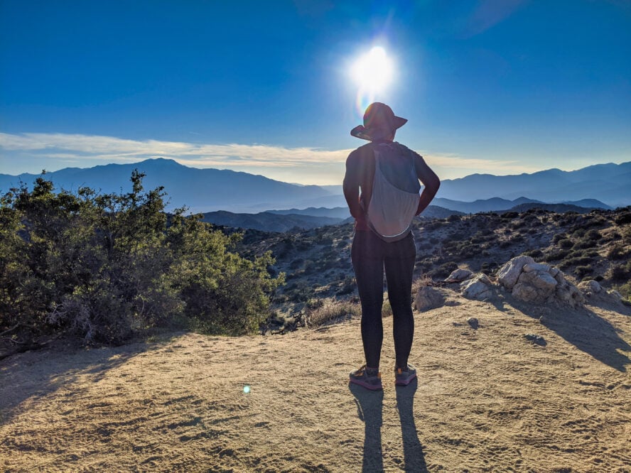
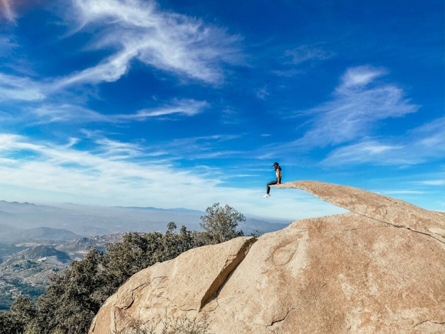
Joshua Tree National Park is a wonderland filled with whimsical boulders and plants that look like they were designed by Dr. Seuss. At almost 800,000 acres, it’s the size of Rhode Island with over half of the park designated as wilderness.
Whether you’re into wildflower viewing, stargazing, bird watching (it’s not as common as when hiking in Northern California, but you might even catch sight of a condor), scrambling, or photography, there’s something for everyone in this winter-friendly park.
Why is Joshua Tree National Park called “Joshua Tree”?
The park gets its name from the furry-looking Joshua Tree (Yucca brevifolia), famous from the eponymous U-2 album and as the inspiration for Seuss’s truffula tree. Joshuas only live in a few high-altitude places in the Mojave Desert. “J-Tree Park”, as locals call it, has some of the densest groves of these “trees” anywhere. Though they aren’t trees.
Actually, the namesake is a succulent, a type of plant that accumulates and stores water. As such, it is difficult to date them due to their lack of growth rings, but they usually live for around 150 years—and one in particular is thought to be over 1,000 years old. They grow and thrive in cold desert nights, which sadly makes them highly vulnerable to climate change.
The park itself is a junction of three distinct ecosystems: the Mojave desert in the north-northeast, the Colorado desert in the east and the south, and a high-altitude Pinyon and Juniper Tree zone in the far-western areas. This results in outstanding biodiversity for an otherwise arid area, which includes forty different species of reptiles, 70 breeds of mammals, and a whopping 700 plant species.
Wildflower enthusiasts flock to Joshua Tree each spring to view flowers from both deserts. When you’re visiting the hikes in Arizona or the best Grand Canyon hikes for wildflower watching, this is what you really want.
Joshua Tree National Park is home to rocks as old as 1.7 billion years. It has six distinct mountain ranges — some going east-west, and some north-south. There’s nothing to rival Mount Shasta climbing here and you won’t encounter any volcanoes like on the best hikes in Washington, but the mountain views are still impressive. Erosion, alluvial fans, and the San Andreas Fault System all add to the fascinating geology of the park.
Joshua Tree hiking rivals the climbing
You probably already know that Joshua Tree is a world-class rock climbing destination, its red boulders and lined cliffs have a storied history and viciously traditional ethics. But for those who like to stay closer to the ground, hiking in southern California, close to major cities like San Diego and Los Angeles, Joshua Tree can be just as legendary. And for two wheels, Joshua Tree is a premiere destination for mountain biking in California too.
You don’t need to be an extreme athlete to enjoy the grander offerings of the park, though. History buffs will enjoy scouting relics from a time when the area had a wetter climate, while amateur astronomers flock here with telescopes in tow for campsite-side stargazing. If you’re into botany or just want to see some cartoon-looking boulders, don’t think of it just as one of the best spots for rock climbing in California, the hiking trails of Joshua Tree have something for everyone.
Whether you’re hiking, backpacking, or keen on a gentle nature walk, Joshua Tree has options for all kinds of visitors. And with that, I’ve put together a list of some of the best day hiking and backpacking trails in the park for anyone.
Map of the 7 Best Joshua Tree Hikes
Below, each marker indicates the trailhead of the hikes I’ll be chatting about.
And now onto my favorite hiking trails, from half hour waltzes to overnight adventures, these are sure to give you a taste of what makes the park so special:
1. Discovery Trail
If you want a quick tour of truly unique geology that rivals the best hikes in Yellowstone, I think it’s hard to beat the Discovery Trail. Created in 2012, the Discovery Trail is one of the newest Joshua Trail hiking trails with a distinction that I love: it was built by kids, for kids.
The trail placement and information placards were designed by students from the local Morongo Unified School District to highlight what they found to be some of the neatest rocks in the area. The actual construction was done by high school students in the Youth Conservation Corps. With this backstory, I consider this trail one of the finest ways to get into Joshua Tree National Park hiking.
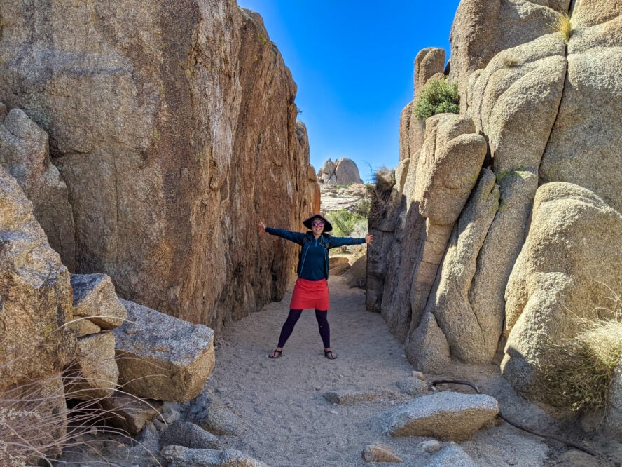
As many times as I’ve visited Joshua Tree, wrapping my head around the geology can still be overwhelming. I really appreciate the frequent informational placards. I was surprised to discover that the Park Service installed a viewing telescope halfway through this hike. It corresponds with a locator map, so you can identify the named boulders and peaks in the area. The Discovery Trail is a 0.7-mile loop with 8- feet of gain. It requires some scrambling, so may not be suited for everyone.
How to hike the Discovery Trail
Park at the roadside parking for Skull Rock off Park Boulevard. If that parking lot is full, I’ve found more parking at the nearby Live Oak Picnic Area and the Jumbo Rocks Campground. Connector trails make it easy to link up to the trailhead. See the National Park Service’s Joshua Tree Map for exact locations.
Before starting the hike, I recommend visiting Skull Rock along the south side of the road (opposite the Discovery Trailhead). It looks like a skull and is one of the most notable named boulders in the park.
The Discovery Trail starts at the north side of Park Boulevard. A sign and a map showing where the trail goes. I like taking the loop going clockwise, turning left on a trail shared with the Skull Rock Trail (that connects to the Jumbo Rocks Campground).
After 0.14 miles, turn right and uphill towards a viewing telescope with panoramic views to rival those when hiking in the Southern California mountains. An interpretative sign makes it easy to identify nearby points of interest, including Skull Rock in the distance. At an intersection, turn right to return to the trailhead.
One of the best short hikes in Joshua Tree, the Discovery Trail was built for kids, by kids. It highlights some of the park’s most impressive geological features (as determined by kids), and it’s a fantastic introduction to the Park.
Discovery Trail - Good to Know
Beginner
About half an hour
0.7 mi (1.1km)
69 ft (21m)
Year round
Perfect if you’re bringing your kids—there’s even some easy scrambling.
2. Boy Scout Trail
The Boy Scout Trail is one of the best backpacking trips in Joshua Tree National Park. Whenever I want to experience wilderness in the park, this is one of the first trips that come to mind. This long-day hike or overnight backpacking trip goes from the popular Park Boulevard near the West Entrance to the less-visited Indian Cove northern section of the park. It’s enough to give backpacking in Big Sur a run for its money.
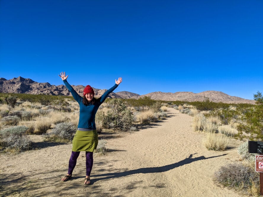
For hikers looking for solitude
I’ve hiked this trail several times in both directions and always marvel at the solitude, even during busy times like fall and spring, which makes the trail feel like some of the high-mountain hikes in Yosemite. That’s one reason why it’s one of the best trails to spot endangered Bighorn Sheep and Desert Tortoises, which both call the Joshua Tree wilderness their home.
Although this is the most popular backpacking trip in the park, the Boy Scout Trail still feels isolated and remote, almost like hiking in Alaska. The trail travels along the edge of the unworldly Mars-like Wonderland of Rocks, a jumble of giant granite boulders so dense that no road has been built through it.
How to hike the Boy Scout Trail
Before hiking, the Park Service recommends setting up a vehicle shuttle at the northern trailhead at Indian Cove Backcountry Board. Ambitious hikers and backpackers occasionally experience the trail as a 16-mile out-and-back, but most hikers do it as a one-way trip because there is no water along the route and you must carry everything you need. Unlike the common sights you see along the best hikes in Colorado, you won’t be passing any lakes here.
Most hikers (including myself) start at the southern terminus off of Park Boulevard. Be sure to sign in at the backpacker’s permit registration board along with your anticipated dates out. There’s no cell reception for large parts of this hike, so you can’t count on your phone in case of emergency. Most people find it easier to drop a car at Indian Cove and then drive to the West Entrance. See the National Park Service’s Joshua Tree map for where the two trailheads are relative to one another.
What to wear, where to camp
As with all hikes in Joshua Tree, I’ve found loose-fitting clothes and a wide-brimmed hat to be essential for backpacking this mostly unshaded route. Apply sunscreen as if you were rock climbing in San Diego under that unfettered sun, and hike during the cooler parts of the day. Park rules allow you to camp anywhere along the western side of the trail.
I’ve found plenty of flat spots for tents in the sandy washes along the trail (but be sure to watch for flash floods). Sections of the Boy Scout Trail use washes as the trail, so it’s especially important to pay attention to signed intersections to help prevent getting lost. The Boy Scout Trail is 8.0 miles long one-way trip with 1,190 feet of elevation change.
This long and strenuous backpacking trip ventures through the less visited wilderness areas of the park.
Boy Scout Trail - Good to Know
Advanced
2-3 hours
8 miles (12.9km)
227 ft (69m)
October through April
At the halfway point, make a 1 mile detour to the Indian Cove Ranger Station to refill your water.
3. Black Rock Canyon Panorama Loop
Considered by many to be one of the best hikes in Joshua Tree in the Black Rock Canyon region of the park, the Panorama Loop follows a sandy wash to some incredible views of the surrounding mountain ranges. Evocative of the hiking in the Grand Canyon, it’s one of my favorite hikes to take friends who are game for a longer hike and don’t mind heights.
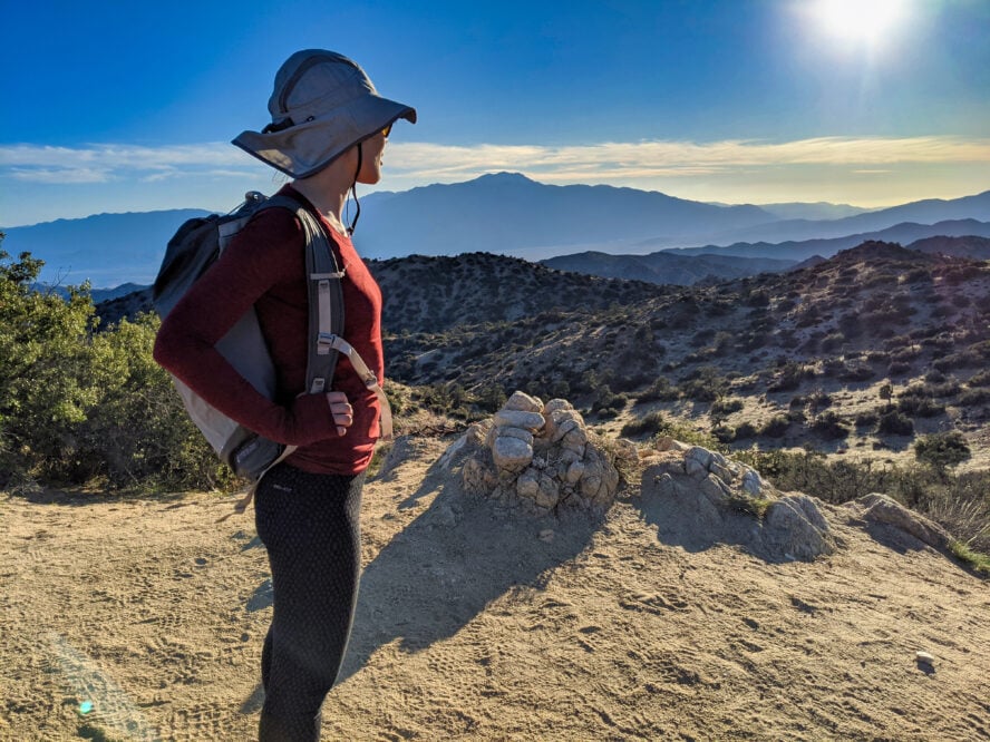
Black Rock Canyon is known for having some of the densest groves of Joshua trees in the park, and it’s one of the best places to experience them.
I like that this hike is one of the few trails of its length in the park that visits juniper forest, too. The Panorama Loop is a killer place for epic panorama photos, and while I hate to admit it, I always stop at the top for something Instagram-worthy.
How to hike the Panorama Loop
Technically a lollipop loop, the trail starts and ends on a sandy wash by the Blackrock Backcountry Board. The trail is signed at all intersections, including connectors that go back to the Black Rock Campground nearby. After about half a mile, the canyon narrows.
After passing Black Rock Spring (not reliable or always noticeable), you’ll reach signposts indicating where the trail becomes a loop. I’ve found that the signage and navigation is a little easier if you head counter-clockwise.
As you climb, there are incredible views of Mount San Jacinto (10,834 feet) and San Gorgonio (11,503 feet), part of Sand to Snow National Monument. I always stop for a photo with the abnormally large Joshua Tree smack in the middle of the trail. The Panorama Loop is 6.5 miles round trip with around 1,200 feet of elevation gain.
This aptly named scenic loop ventures into the less-visited Little San Bernardino Mountains through dense forests, narrow canyons, near-razor edge ridgewalking, and panoramic views.
Black Rock Canyon Panorama Loop - Good to Know
Intermediate to advanced
3 hours
6.5 miles (10.5km)
1,273 ft (388m)
Spring or winter
If you’re up for a bonus hike, make a 1.4 mile detour to Warren Peak at the junction around the 4.3-mile mark.
4. Wall Street Mill
The Wall Street Mine Trail is my go-to Joshua Tree day hike for friends and family who are history lovers. It’s one of the best hikes in Joshua Tree for learning about the park’s past.
Bill Keys (whose name is also found elsewhere in the park, at Keys Point), operated Wall Street Mine from 1930 to 1966 to process gold ore. It worked by first having miners cart ore to the top of a mill. There, it was crushed by stamps into sand. The miners mixed the sand with water and mercury. Because gold and mercury stuck together, they could wash away the worthless gravel with water.
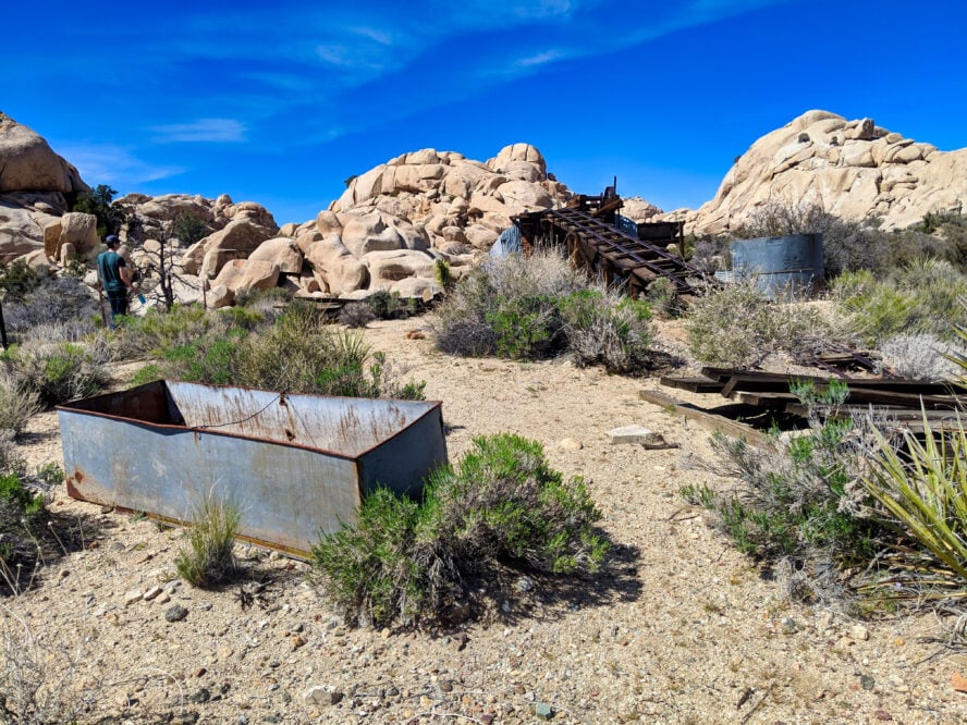
Explore Wild West artifacts along the way
While the mine is registered on the National Register of Historic Places, I like the Wall Street Mine Trail for the fun artifacts along the way.
On your way to the mine, you’ll pass the ruins of Wonderland Ranch, rusted cars, and an old windmill that pumped water for the mill. There’s even a stone marker to show where Keys killed Worth Bagley in a land dispute shootout (he spent five years in jail but was deemed innocent). I like to imagine a time when the area had enough water to support cattle and what it was like to live here during the days of the Old West.
How to hike the Wall Street Mine Trail
Park at the Wall Street Mine Parking Area off of Park Boulevard, following a marked trail heading northeast. This parking area can get crowded, so see the Joshua Tree Park Map for alternatives. As there are many historic artifacts here, it’s important to leave what you find. You’ll walk on a wide main trail that was an old dirt road used by the mine, passing the Desert Queen Well, the shootout site, and rusted cars. The trail ends at the mill. Be mindful of old buildings, which lack structural stability. They may be fun to look at but are not safe to explore. Park Service signs show where you can and can’t enter. The Wall Street Mine is a 2-mile, 75-feet of elevation out-and-back hike.
One of the best short hikes in Joshua Tree, history buffs will enjoy visiting one of the best-preserved early-20th century historic gold mining sites found anywhere.
Wall Street Mill - Good to Know
Beginner
30-45 minutes
2 miles (3.2km)
75 ft (23m)
October through April
Bring plenty of bug spray and thin extra layers to cover exposed skin.
5. Barker Dam
Barker Dam is one of the best day hikes in Joshua Tree of its length (just 1.4 miles). Although this trail can get about as crowded as the Tuolumne Meadows to Yosemite Valley trail, and parking is limited, it’s hard to find another Joshua Tree hiking trail that offers the variety of scenery and cultural history found at Barker Dam.
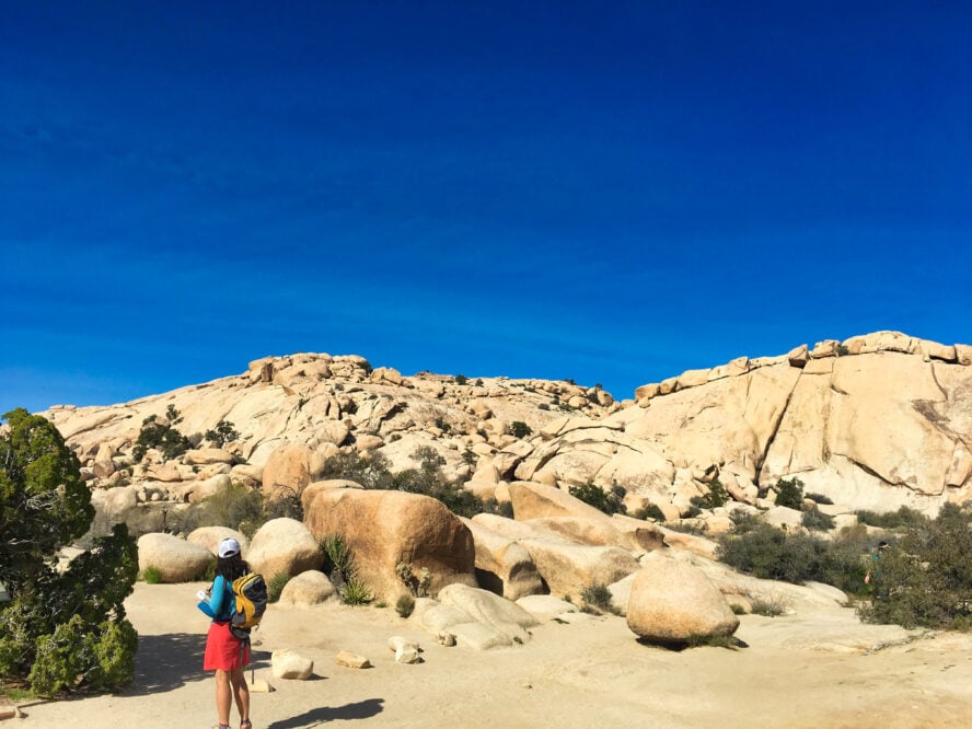
An oasis within the desert
The Barker Dam Nature Trail visits one of the largest historic reservoirs in the Park — built more than a century ago by the Barker & Shay Cattle Company to support cattle ranching in the park. When I’ve visited during wetter springs, there’s a lake behind that dam that supports waterfowl and riparian vegetation.
Tucked under cliffs and lined with the Wonderland of Rocks, this place feels as peaceful as the serenest Oahu hikes (even when crowded). I love this hike because it’s not what you’d expect to see in a desert park. Another nice perk of this trail is that it ends by dropping into a Joshua tree and yucca-filled valley where petroglyphs can be found not far from the path. The unique geography almost evokes the best Grand Canyon hikes.
How to hike the Barker Dam Nature Trail
From the Barker Dam/Wall Street Mine parking area, walk north on a broad trail, following signs to the dam. The nerd in me reads all the interpretative signs along the way, which tell of the hard life of native vegetation. The trail enters a narrow corridor but opens into what feels like a surprisingly open valley. There, you’ll find Barker Dam (and if it’s early in the season or been a wet year, Barker Lake).
Follow the edge of the lake and then drop into a Joshua tree and yucca-filled valley. At the end of the hike, pass petroglyphs that tell of the Native American history. This is a great go-to hike in the spring (especially if it has been a wet year) and pairs nicely with the nearby Wall Street Mine hike, which shares the same parking lot. The Barker Dam Nature Trail is a 1.1-mile-long loop with around 60 feet of elevation gain.
One of the most popular Joshua Tree day hikes, Barker Dam is a historic dam built by early cattle ranches and one of the only places you can see natural water in the park.
Barker Dam - Good to Know
Beginner
About half an hour
1.1 mile (1.8km)
59 ft (18m)
Year round
The trail gets crowded, so try to visit in the off-season.
6. Split Rock Trail with Face Rock Spur
This classic Joshua Tree day hike is a loop that takes you past three of the park’s famed giant monzogranite boulders: Split Rock, Tulip Rock, and Face Rock. I like this hike because there are so many places to scramble and play on the rocks.
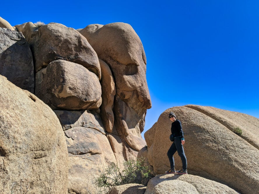
Along the way, you’ll pass a cave formed by an overhanging boulder that even has a tunnel at the back big enough for kids to crawl through. I also like that the trail passes several marked climbing locations, which have posts showing user trails. In the past, it was easy to get the hiking trail and climbers trail mixed up, but this area has become a great example of how multiple users can share a beautiful area.
Easy access to a network of trails
The Split Rock hike features several house-sized formations big enough to crawl into. One of the best things about this hike is how easy it is to add on spurs, like the 0.3-mile round trip path to Face Rock. The Split Rock Trail becomes a means to access a whole system of trails in the area and visit even more house-sized boulders in this area of the park.
How to hike the Split Rock Trail
Start at the Split Rock Picnic area, where signs and posts mark the Split Rock Trail loop. On your right after just a minute of hiking, you’ll find the cave to your right. Next, you’ll see Split Rock in the distance, which has a narrow fissure dividing its upper half. A few more minutes on the trail, and you’ll see Tulip Rock, which looks like a cockscomb on a rooster.
In Spring 2020, rangers were working on making this trail even easier to follow, with small rocks lining the trail on either side. Maps and signs make it easy to add on spurs. The Split Rock Trail is a 2.5-mile-long loop with 150 feet of gain, but you are free to add on as many of the connected trails in the area system as you would like.
One of the best day hikes in Joshua Tree, this view-filled hike visits caves and some of the most famous giant boulders in the Park.
Split Rock Trail with Face Rock Spur - Good to Know
Beginner
1 hour
2.5 miles (4km)
150+ ft (45m)
October through May
Choose durable shoes with strong soles, as the trail gets very rocky in the earlier sections.
7. Cholla Cactus Garden Loop
One of the best short day hikes in Joshua Tree, the 0.25-mile loop through the Cholla Cactus Garden is a must-see for every Joshua Tree visitor. Located on the less-visited Pinto Basin Road, the cactus garden is the only hike described here that lies in the Colorado Desert, not far from the transition zone separating the Mojave Desert.
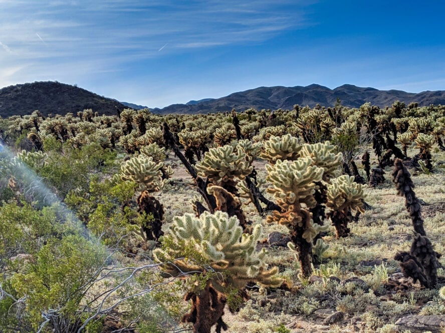
Despite the long drive, I like visiting the cactus garden because it’s botanically and geologically unlike so many of the more popular hikes in the park. It has the otherworldly charm of the hikes in Southern Utah, but with a prickly twist. Sure, given that it’s an easy hike, it does get crowded. But catching sunrise or sunset set over the cholla is one of the most magical experiences I’ve had in Joshua Tree National Park.
How to hike the Cholla Cactus Garden
Located smack in the middle of the park, the Cholla Cactus Garden is accessible from three different entrances. From the North Entrance Station, take Park Boulevard to Pinto Basin Road, pass White Tank Campground, and follow it through Wilson Canyon to the Garden. From The West Entrance, take Park Boulevard and turn right onto Pinto Basin Road.
From the Cottonwood Ranger Station, take Pinto Basin Road past Ocotillo Basin. The trail itself is an elevated wooden platform designed to protect the cactus and your feet from impacting each other. Stay on the trail and wear close-toed shoes and be cactus-aware. Many people have been spiked inadvertently by the densely populated cacti.
One of the best short hikes in Joshua Tree, the Cholla Cactus Garden Loop takes hikers to see thousands of naturally growing cholla cactus.
Cholla Cactus Garden Loop - Good to Know
Beginner
Under half an hour
0.25 miles (0.4km)
Negligible
Year round
Closed-toed shoes and high socks or long pants. Kind of obvious, right?
What You Need to Know Before Visiting Joshua Tree National Park
Before you start planning a hiking, backpacking or camping trip to J-Tree, here’s some hiking tips for beginners that are good to assimilate before making your pilgrimage:
What’s the Best Time to Visit Joshua Tree?
The best thing about Joshua Tree is that there’s something to do there year round. From hiking and stargazing to desert parties, find your best time to visit Joshua Tree below!
-
- Spring: best season for outdoor activities
- Summer: best season for crowd-free stargazing
- Fall: best for pleasant hikes and festivals
- Winter: best for rock climbing
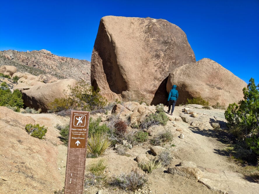
Joshua Tree in the Spring
March through early May is when Joshua Tree shines, especially for hikers and climbers. Day temperatures stay below the mid-80s, with pleasantly chilly nights. Most importantly, spring is wildflower season: color returns to high-altitude areas around March and April, and by June, the desert annuals will be on full display. For those that can swing it, weekdays see reduced crowds on the trails and the rocks. Come in the springtime and watch the park come to life.
Joshua Tree in the Summer
As is the case for the backpacking in Big Sur, summer in Joshua Tree can be summed up in one word: heat. Temperatures soar to the hundreds, and they don’t let up at night. So, instead of hiking or starting your Joshua Tree lead climbing lesson in the scorching sun, why not try stargazing?
Scoring a campsite is easy, and there’s practically no light pollution in the desert, so the Milky Way is clearly visible on moonless nights. Plus, if you stop by in August, you could witness the annual Perseid Meteor Shower. Just make sure to bring plenty of water and limit physical activity to the early morning and late afternoon.
Joshua Tree in the fall
The fall season, September through November to be exact, is an underrated time to visit Joshua Tree. By mid-September, visitation starts to go down, along with the temperature, but the weather is still great and you’ll catch plenty of sunshine. It’s a great time for photographers, too—catch the sunlight as it paints the desert gold without worrying about the heat. The Joshua Tree Music Festival also takes place in October, so it’s a great time to get your party on.
Joshua Tree in the winter
Winter is prime time to rock climb or hike the unshaded classics, granted you prep for the weather. While daytime temperatures fluctuate around 60° F and the weather is generally dry and sunny, the nights often fall below freezing, so camping requires warm gear and prep work. Winter is awesome for rock climbing—when the heavy snow hits hot spots like Yosemite or the hikes of Mt. Rainier, climbers flock to the park in droves and the routes are as lively as ever. Also, if you want to see snow in the desert, stick to the higher altitudes and you might get lucky.
What are the entrances to Joshua Tree? When do they open/close and are there any entrance fees?
There are three entrances to Joshua Tree, and choosing the right one for you depends on the hike you’re planning on doing:
-
- West Entrance, just south of the junction at Joshua Tree Village, is closest to Las Vegas
- North Entrance, in Twentynine Palms, is accessible from LA and San Diego
- South Entrance, near Cottonwood Springs, is ideal for travelers from New Mexico
To start, the park is open year round. The Oasis Visitor Center at the North Entrance and the Joshua Tree Visitor Center near Joshua Tree Village are open from 8 am to 5 pm throughout the week, while the Cottonwood Visitor Center near the South Entrance operates from 9 to 3.
Joshua Tree has an entrance fee of $30 for single vehicles, $25 for motorcycles, and $15 for on-foot visitors and cyclists. The permit is good for 7 days after purchase.
Do I need a permit to backpack in Joshua Tree?
There’s no other permit required for hiking or backpacking in the park. Joshua Tree backpackers can self-register for free at 13 different trailheads. Additionally, I would get a free California Fire Permit so that you can operate any stove in the backcountry, including Jetboils and other backpacking stoves that use pressurized fuel. You can obtain a free permit online by watching a video and answering a short, multiple-choice quiz. I print my permit and take it with me before leaving home.
How safe is hiking in Joshua Tree?
While it’s never a good idea to leave valuables in a parked car at a trailhead, I’ve generally found Joshua Tree trailheads to be safe. Unlike some national parks, I don’t have to worry about wildlife break-ins, so I usually leave some celebratory car snacks and beverages (including plenty of water) to enjoy after my backpacking trip.
Where should I stay for hiking in Joshua Tree?
If you’re planning on doing multi-day hiking tours in Joshua Tree, note that there are no lodging options within the park, so most people either choose to camp or find their accommodations in the surrounding towns. Most of the hikes are in the northern section of the park, so this is where you should look for your hotels and rentals.
Only 10 minutes away from the West Entrance Station, the town of Joshua Tree is the most convenient option. Autocamp Joshua Tree offers a wide range of accommodation options, with suites offering full kitchens, private fire pits, and outdoor dining areas. The retro hacienda-style Joshua Tree Inn is also a great choice because of its spacious pool, perfect for dry desert days.
If you’re a budget-minded hiker, Twentynine Palms is the choice for you. Located at a 10-minute drive from the North Entrance station, the town has a much wider range of affordable hotel options. I recommend the Fairfield Inn and Suites, a very economical hotel with a great breakfast offer, an outdoor pool, and even a fitness center.
Where and when to camp in Joshua Tree
Joshua Tree has eight campgrounds inside the park. Each of these campgrounds is $15 per night with a maximum of six people, three tents, and two licensed vehicles (although I’ve discovered some sites can only fit one car). All the campsites have toilets, picnic tables, and campfire rings with fire grates. As Joshua Tree is a high desert, the campsites range from 3,000 to 4,300 feet in elevation, so nights can be cool. Bring a warm sleeping bag.
Only two of the campgrounds—Black Rock and Cottonwood—have water and flush toilets available. When I’m staying at the other campgrounds, I’m sure to leave home with many gallons of water or fill up jugs in town with enough water for the night (plus any water I need for day hikes). There’s also a spigot at the West Entrance Station, Oasis Visitor Center, Cottonwood Visitor Center, and Indian Cove Ranger Stations. None of the campgrounds have showers.
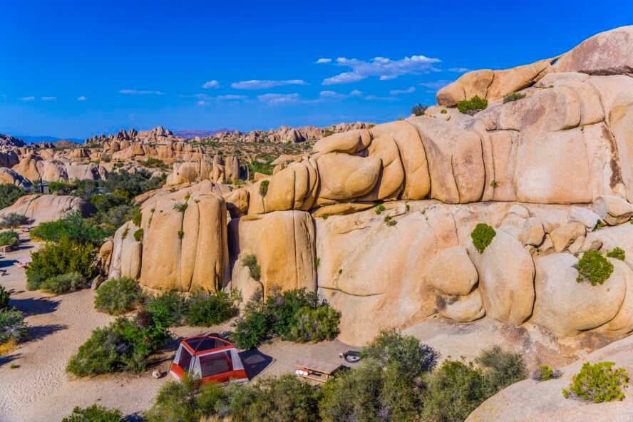
Four of the park’s campgrounds are on a first-come, first-served basis: Belle, Hidden Valley, Ryan, and White Tank. The other four sites—Black Rock, Cottonwood, Indian Cove, and Jumbo Rocks—can be reserved at www.recreation.gov or by calling 877-444-6777.
Reservations can fill quickly, especially on weekends, during holidays, and between October and May. I recommend using the secure online system as soon as you know the dates of your trip.
Additionally, there are four private campgrounds outside of the Park, most of which feature hookups and dump stations for the RV crowd.
The best time to camp in Joshua Tree is between March and May or September and October. By that time, the park will be warm, but not overbearingly hot, and the wildflowers are in full bloom. Note the period between mid-February and April sees more crowds, so booking in advance is a good idea.
Can you go wild camping in Joshua Tree?
Wild camping in Joshua Tree is easy and fun for those that come prepared and follow the rules. There are no quotas here or early sign-ups—all you need to do is register at one of the 13 backcountry boards scattered throughout the park.
When choosing your backcountry camping spot, you need to follow three conditions:
-
- Camp at least 1 mile (1.6 km) away from roads
- Stay 500 feet (150m) away from trails and water sources
- Don’t camp in day-use areas
Follow these and you should be good to go! Just keep in mind that potable water is not available here, so make sure to bring an ample supply.
Can you have a campfire in Joshua Tree?
Campfires are not allowed outside of the Joshua Tree campgrounds. When I want a campfire, I use one of the eight designated campgrounds inside the park. I’ve found out the hard way that none of the campgrounds sell firewood (and collecting firewood from the park is illegal, not to mention impossible to find). Be sure to buy a bundle or two in town before heading to your campsite.
Check conditions before you backpack
While rain and snow are relatively rare, wind and extreme heat can be issues in Joshua Tree. Check the conditions before you go. Additionally, localized weather reports are available at the entrance stations and visitor centers.
Should I hire a hiking guide in Joshua Tree?
Definitely! Hiking with a guide in Joshua Tree is the best way to experience the park. Your guide will show you the best trails, help you escape the crowds, and provide you with valuable information you wouldn’t otherwise get. In short, hiking with a guide will make the most out of your Joshua Tree National Park adventure!
Do I need hiking boots for Joshua Tree?
Many hiking tours in Joshua Tree follow desert washes, which can be as sandy as walking on a dry beach. Other trails can be quite rocky. If you are accustomed to hiking in boots, I’d suggest bringing your favorite pair along. If boots aren’t your thing, I’d suggest hiking shoes or trail running shoes, both of which offer the stability and traction necessary for the rocky, uneven trail.
While some hikers prefer to hike in sports sandals, Joshua Tree is one place where I’d suggest against it. I’ve learned the hard way that Joshua Tree hiking trails have sharp pieces of granite sand that can easily get lodged under sandals.
What other clothes and gear do I need?
You don’t need to bring much gear to your day hikes in Joshua Tree. For clothes, bring moisture-wicking base layers, some lightweight hiking or trail running shoes, and a light jacket for early-morning or late-afternoon hikes. Sunglasses, sunscreen, and a sunhat are a must, as is bringing at least 2-3L of water—you won’t find many water sources here. Finally, a raincoat might be a good idea, especially in the shoulder seasons.
Can I hike with my dog in Joshua Tree?
Like almost all national parks, you can only hike with your dog on roads or trails. Pets are allowed at Joshua Tree campgrounds but must stay on a leash at all times and cannot be left unattended. Several private pet hotels are available in the area, including 1.0 mile from the West Entrance Station.
Are there snakes in Joshua Tree?
Yes. Joshua Tree is in a thriving desert ecosystem, and snakes play an essential part in reducing rodent populations. To avoid contact with snakes, never put your hands or feet into rock crevices or places where you cannot see. Snakes, like many desert creatures, seek shade from the intense desert sun and can be found in rock piles. If you do encounter a snake, give it lots of space, be patient, and let it slither away.
Additional tips for safe hiking in Joshua Tree National Park
You’re not hiking in Austin here, there are no stores or swimming holes—Joshua Tree is a real desert. Sun protection and hydration are key. As I’ve mentioned many times, slather yourself in sunscreen, put on a cap, and bring adequate water. You’ll get very little to no cell service in Joshua Tree, so you don’t want to find yourself in an emergency. However, if you do, walk to the nearest park entrance—the closer you get to it, the stronger your reception should get.

