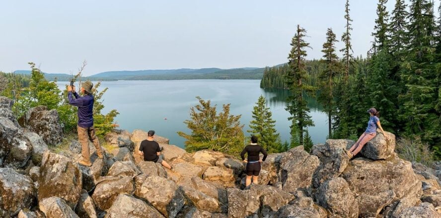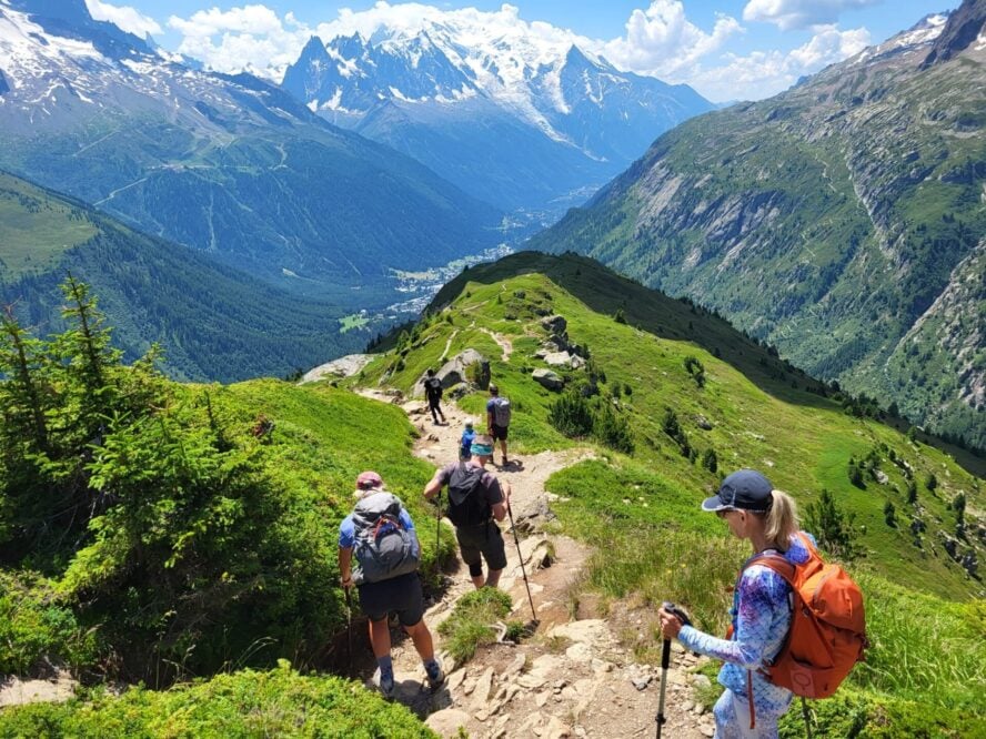
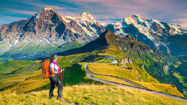
Hiking means something different to everyone. For some it’s a way to unplug from a loud world, for others it’s the best cardio they’ll ever willingly sign up for, and for plenty of people, it’s just the best excuse to be somewhere beautiful with good company.
But whatever brings you to the trailhead, the outdoors has a way of giving back more than you expect.
At 57hours, we believe the best way to experience that is alongside a local guide, someone who knows the terrain, the history, and the little detours that never make it onto a map. That’s true whether you’re out for a long weekend or building an entire trip around a single trail.
With that in mind, we’ve pulled together our picks for the best hikes in the world: 15 trails from Iceland to Patagonia for every difficulty level, some a short flight from home, others worth the extra planning. Wherever you’re starting from, there’s a trail on this list for you.
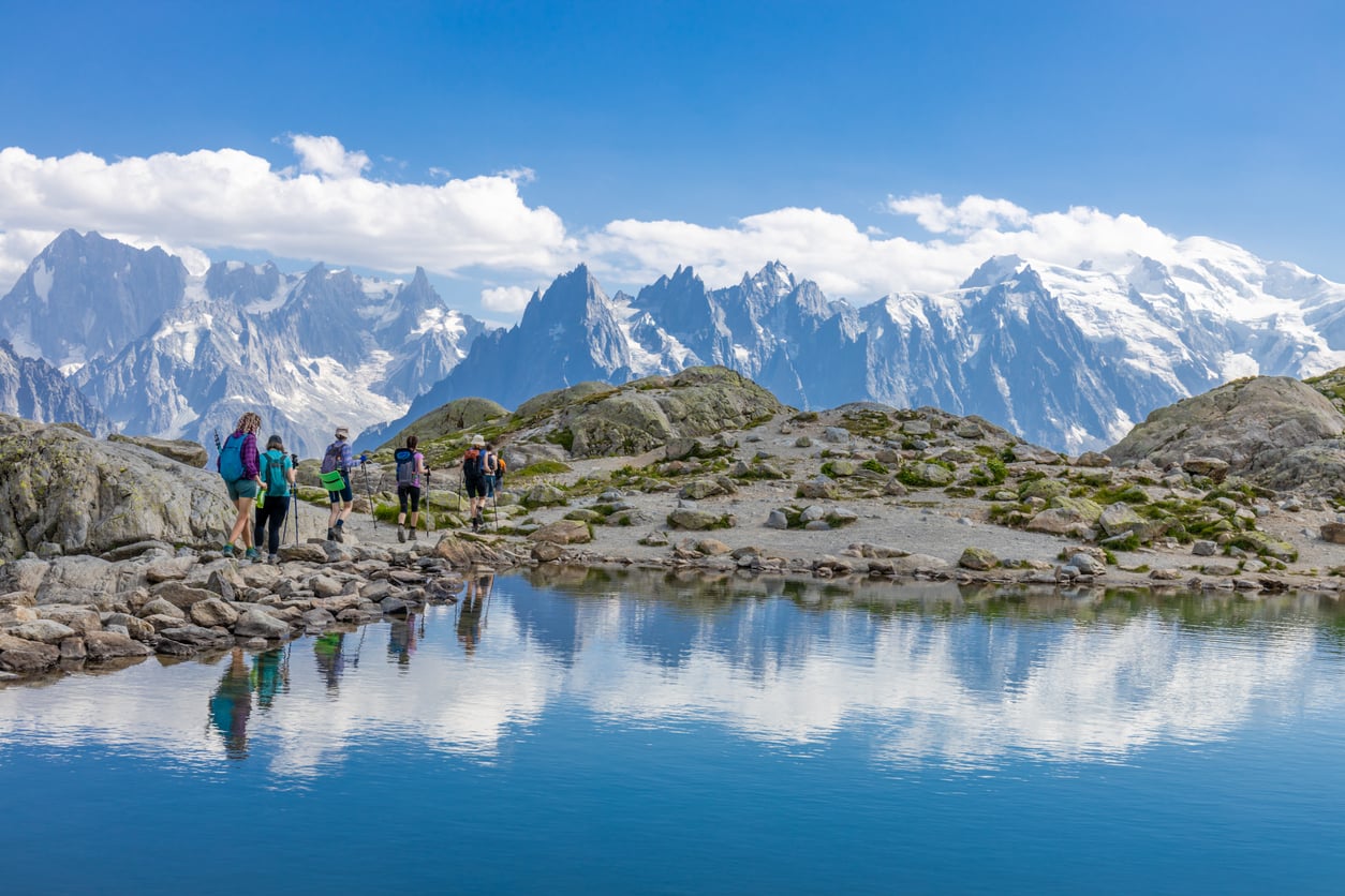
Your Guide to the Best Hikes in the World
Ranking the best hikes in the world is an impossible task, and a joyful one. We’ve hiked volcanic deserts in Iceland, glacier passes in the Alps, Inca stonework in Peru, and windswept moors in Scotland trying to narrow this list down, and we still had to leave out dozens of worthy trails.
What made the cut are the hikes that reward the trip it takes to reach them: multi-day treks through landscapes found nowhere else, hut systems and mountain hospitality that turn a hike into a cultural experience, and a few short, sharp adventures that pack a full trip’s worth of scenery into a long weekend.
Whether you’re looking for your first multi-day trek or your next big physical challenge, there’s a hike on this list for you.
Best hikes in the world (single and multi-day):
Easy:
-
- Camino Portuguese, Spain & Portugal: Top choice for a historic hike with easy logistics
- Madeira’s Levada Trails, Portugal: Top choice for hotel comfort between big days
- Pacific Crest Trail, Oregon: Top choice for first-time backpackers
Moderate:
-
- Laugavegur Trail, Iceland: Top choice for volcanic landscapes
- Alta Via 1, Italy: Top choice for limestone lovers
- Inca Trail to Machu Picchu, Peru: Top choice for ancient history
- Denali Backcountry, Alaska: Top choice for true wilderness
- New Zealand North & South Island, New Zealand: Top choice for variety
- Appalachian Trail (Roan Highlands & Max Patch), USA: Top choice for a taste of a thru-hike
Challenging:
-
- Tour du Mont Blanc, France-Italy-Switzerland: Top choice for an Alpine classic
- Walker’s Haute Route, France-Switzerland: Top choice for peak-bagging
- O Circuit, Torres del Paine, Chile: Top choice for Patagonian wilderness
- Grand Canyon Rim-to-Rim, Arizona: Top choice for geological drama
- West Highland Way, Scotland: Top choice for history and whisky
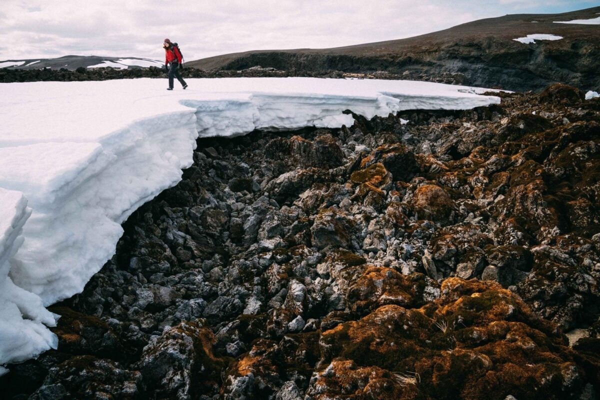
- Hidden Trails of Iceland: Top choice for going off the map entirely
1. Camino Portuguese, Spain & Portugal
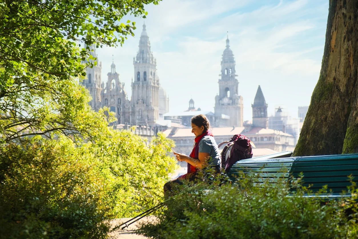
Long before it was a pilgrimage, it was a story about lights in a forest. In the early 9th century, a hermit named Pelayo followed a strange star and unearthly music through the Galician woods and found a forgotten tomb. The bishop declared the bones inside to be Saint James, carried to that shore after his death, legend says, by a boat guided by angels. They built a church over the spot, and pilgrims have been walking toward it ever since.
The Camino Portuguese is one of the oldest paths to that same tomb, and depending on which route you choose, it runs close to where legend says the saint’s remains first touched Spanish soil, near what’s now Padrón. Every scallop shell strapped to a pilgrim’s pack traces back to that same story.
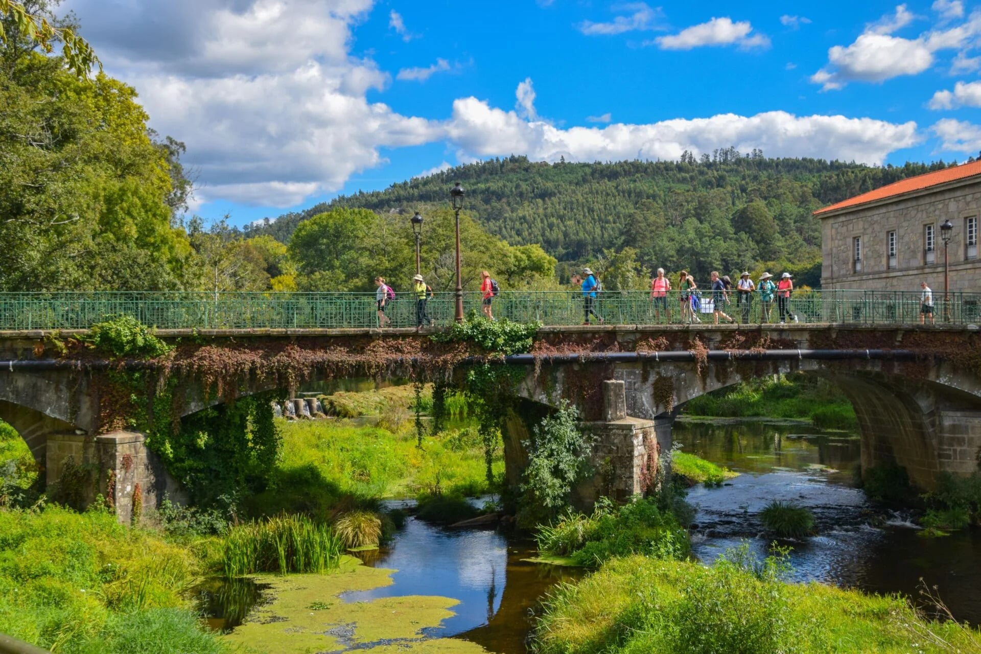
The full route runs 380 miles (612 km) from Lisbon, but the version most hikers actually walk is a 9-day, week-long stretch covering just the final leg. There are two ways to do it: the final 100 km route runs inland from Tui through Galicia’s woodlands and river towns, while the coastal route starts further back in Oia, Spain, tracing the Atlantic shoreline through fishing villages before the two paths join near Vigo.
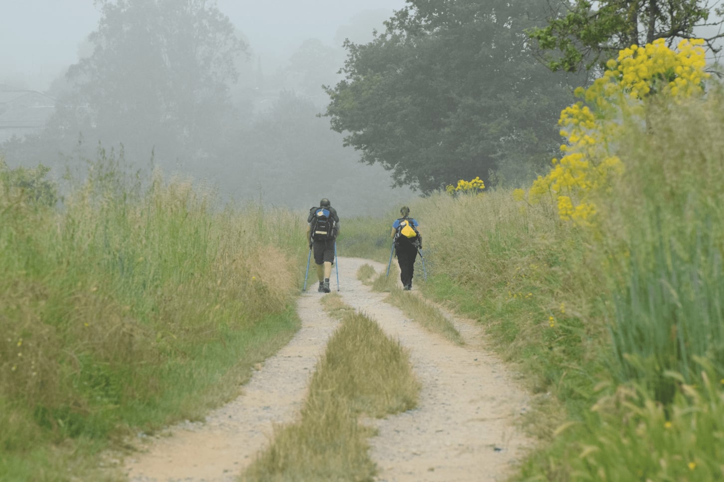
Either way, you’re covering 11 to 27.7 km (7 to 17 miles) a day for 6 consecutive days, following the same yellow arrows and scallop shells that have marked this trail for over a thousand years, with a support vehicle carrying your luggage between hotels so all you’re carrying is a daypack.
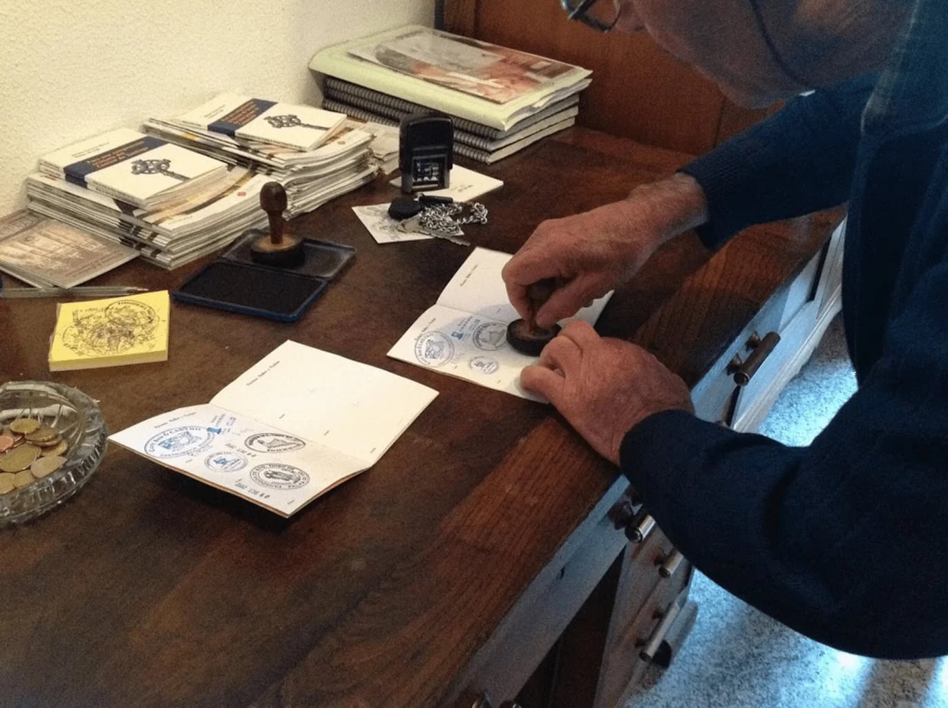
And unlike its busier cousin, the Camino Francés, you get the same cathedral, the same passport stamps, and the same Compostela certificate at the end, with a little more room to hear your own footsteps along the way.
Walking together creates bonds quickly. Shared effort, shared meals, shared silence. I’ve watched friendships form that last long after the walk ends. Even for someone who makes a living as a Camino de Santiago guide, that sense of connection never gets old.
— Umberto di Venosa in Camino de Santiago Guide: Routes, Prep & What It’s Like
Camino Portuguese, Spain & Portugal - Good to Know
Easy to Moderate
9 days
Woodland paths, river crossings, coastal footpaths, and quiet country roads.
Up to 250 m (820 ft) on the biggest day.
Hikers who want the Camino experience without a month off work.
Tui (final 100 km route) or Oia (coastal route), Spain.
Year-round, but April through November is best.
2. Madeira’s Levada Trails, Portugal
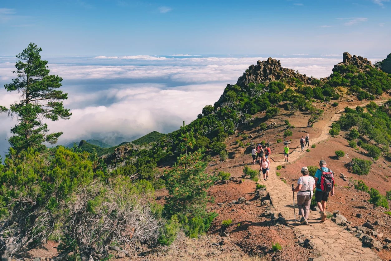
Madeira didn’t rise from the Atlantic so much as it clawed its way out, forced up by the same volcanic hotspot that birthed the Canaries and the Azores, a fire beneath the seafloor that simply refused to stop building. When Portuguese sailors finally stumbled onto it in 1419, they found no footprints, no fires, no one. Just an entire island cloaked in laurel forest so thick and so ancient they had no name for it but the wood itself.
That forest is still standing today, older than the countries that now claim it, and running through its shadows are the levadas: over 2,000 km (1,240 mi) of water channels carved by hand into sheer volcanic rock, a five-century-old feat of human stubbornness that dragged rain from the drenched north across the island to the parched south. Every levada still has its footpath. Walk one, and you’re retracing the exact steps of the levadeiros who carved a lifeline into a mountain with nothing but tools and will.
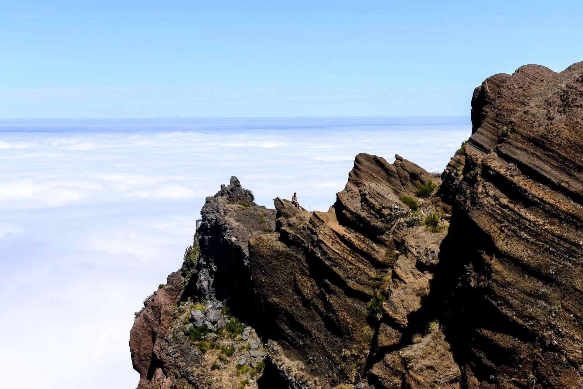
Then the island starts showing off. Over 8 days you’ll climb the “Stairway to Heaven” straight into the clouds near Pico do Arieiro, vanish into the primeval hush of the Laurissilva forest, and stand beneath Pico Ruivo as it soars to 1,862 m (6,109 ft), the whole island falling away beneath you.
Some days ask for 14 km (8.7 mi) and 550 m (1,805 ft) of climbing, and every single one of them ends the same impossible way: a 4-star hotel, a pool steaming under the stars, the Atlantic glittering right outside your window.
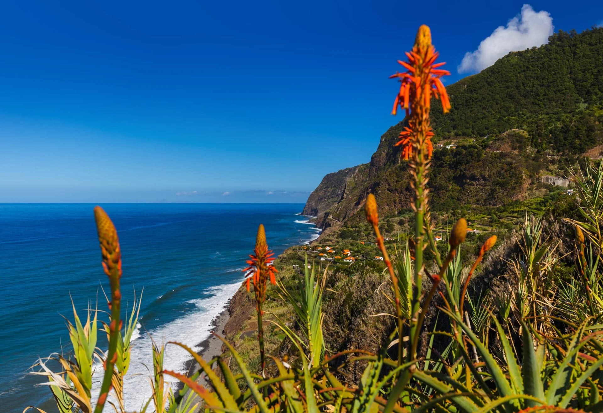
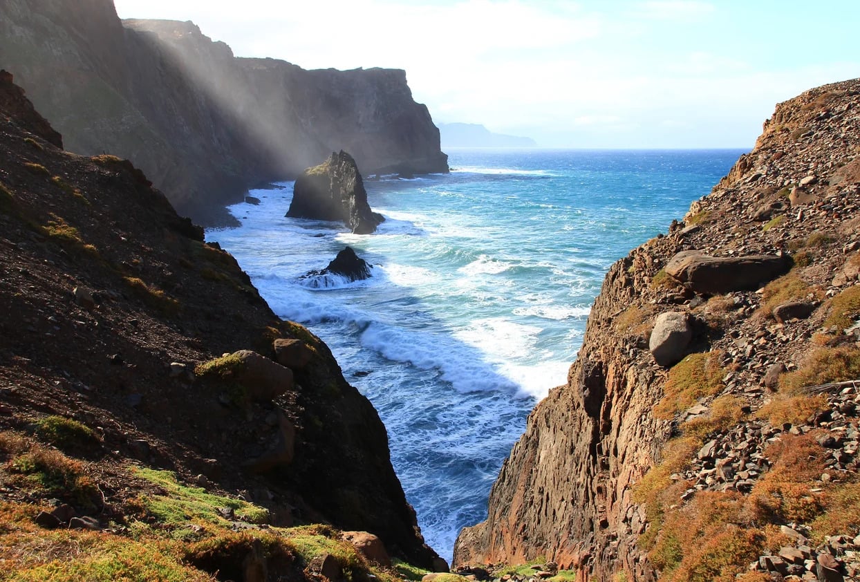
And Madeira never stops changing its face. Black basalt cliffs give way to dense green jungle within hours, and by the time you reach Porto Moniz, the ocean itself has punched natural pools straight into cooled lava, as if the volcanoes that built this island are still, quietly, unfinished.
The first time I watched the clouds rise beneath my boots in Madeira, I knew this island was going to change the way people think about hiking. One moment I was walking through a forest so dense it felt prehistoric, the air cool and wet, laurel leaves brushing my shoulders. Less than an hour later, I was standing on a volcanic ridge above a rolling sea of clouds, the Atlantic stretching endlessly in every direction.
— Fábio Castro in Hiking in Madeira: Best Trails & Local Tips
Madeira’s Levada Trails, Portugal - Good to Know
Moderate
8 days
Levada paths, forested ridgelines, and some exposed cliffside sections with safety cables.
Up to 550 m (1,805 ft) of ascent per day.
Hikers with previous experience who want comfort at the end of the day.
Santana, Madeira.
Year-round.
3. Pacific Crest Trail, Oregon
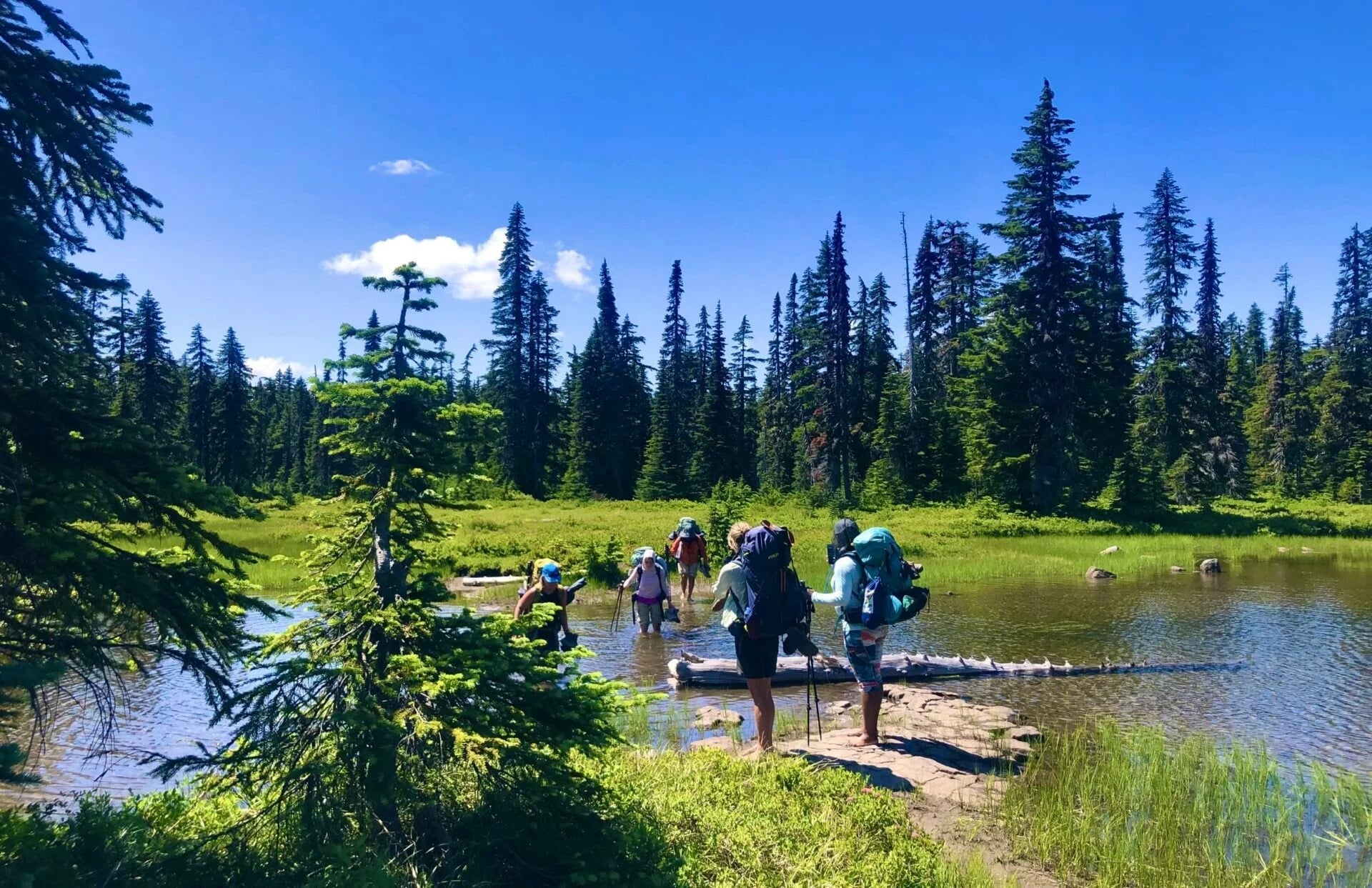
In 1926, a schoolteacher in Bellingham, Washington, mentioned an idea to a mountaineer almost in passing: a single trail running the length of the West Coast, from Mexico to Canada. Her name was Catherine Montgomery, and she never lived to see it built, her 1957 obituary didn’t even mention the trail.
It took another 67 years, one stubborn Pasadena advocate who refused to let the idea die, and a golden spike driven into the dirt in 1993, before the Pacific Crest Trail was finally whole: 2,650 mi (4,265 km) of it, stitched together mile by mile.
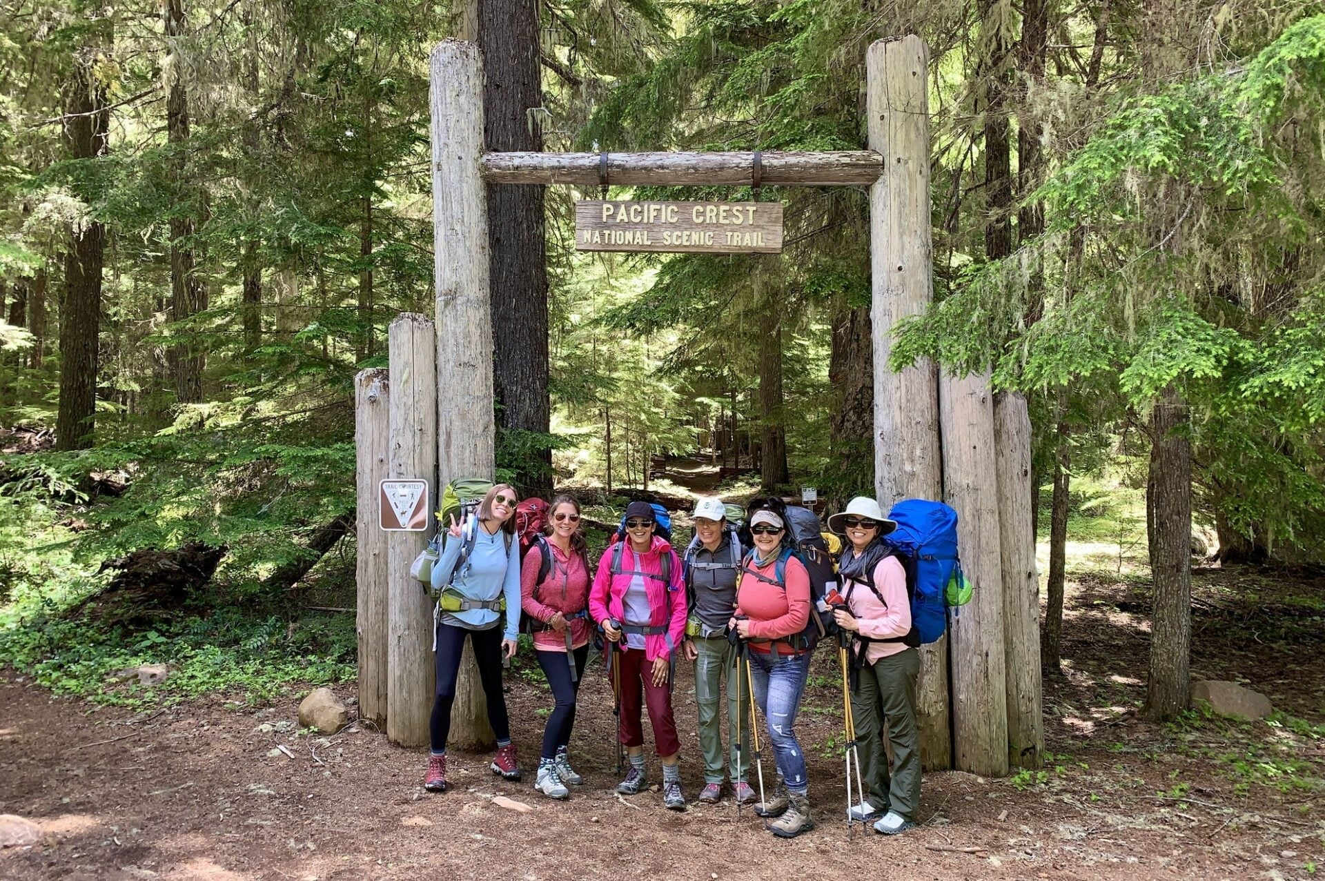
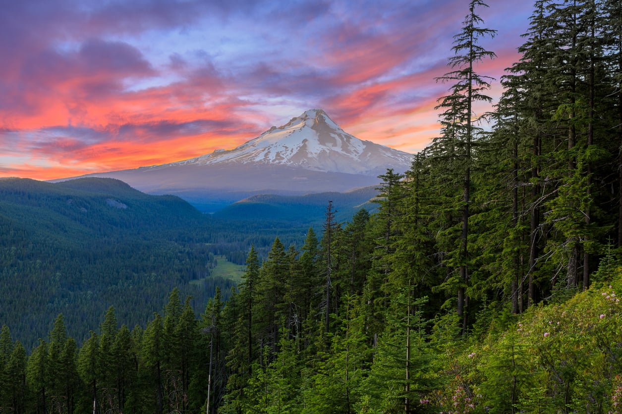
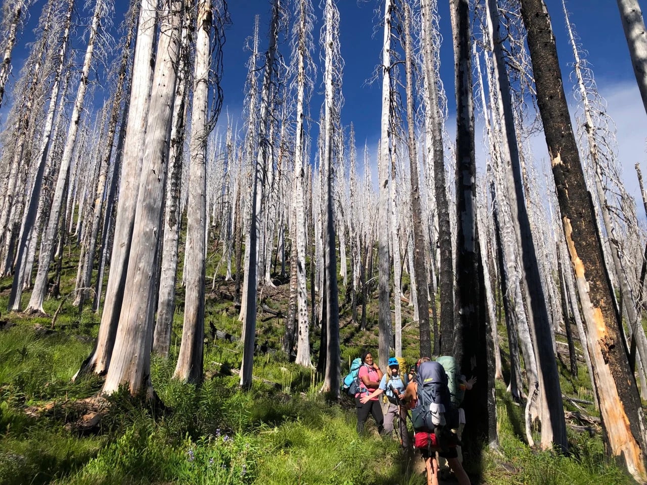
This 4-day trip covers a hand-picked 25 to 30 mile (40-48 km) stretch of Oregon’s share of that same trail, the crest Montgomery once imagined from a classroom, now threading through lush Pacific Northwest rainforest with Mt. Hood rising in and out of view.
Fewer than one in five thru-hikers who attempt the full trail actually finish it, but here you’ll get real trail time on real terrain: moderate inclines, dry camping on the intermediate route, and up to 610 m (2,000 ft) of elevation change a day.
What makes this trip different is that it’s built for beginners. A guide teaches Leave No Trace principles, campsite selection, and bear-safe food storage as you hike, not before. And since it’s an all-women departure, the same kind of camaraderie that once carried one teacher’s idea into a legendary trail tends to build fast among strangers carrying full packs together for the first time.
For us as guides, hiking the Pacific Crest Trail isn't just a long hike. It's a full reset. A way of stepping out of the noise and back into something quieter, wilder, and more real. All you really do is wake up, shoulder your pack, and follow the dirt north until something inside you clicks.
— Colt Peeters and Nastia Bendebury in Hiking the Pacific Crest Trail: Your Friendly Escape Plan Into the Wild
Pacific Crest Trail, Oregon - Good to Know
Easy to Moderate
4 days
Temperate rainforest, moderate inclines, some dry camping stretches on intermediate routes.
Up to 610 m (2,000 ft) per day.
First-time backpackers looking for expert instruction alongside the hike.
Troutdale, Oregon (near Portland).
May through September.
4. Laugavegur Trail, Iceland
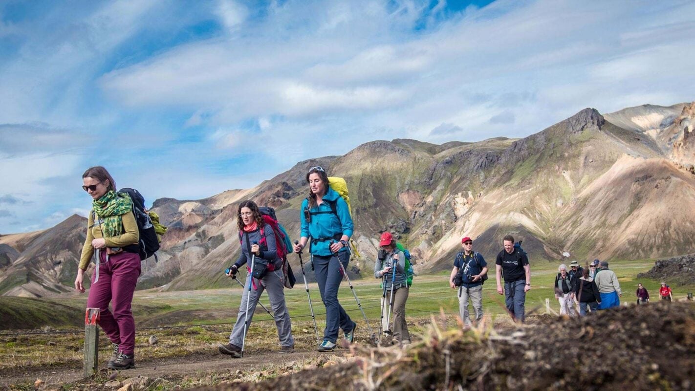
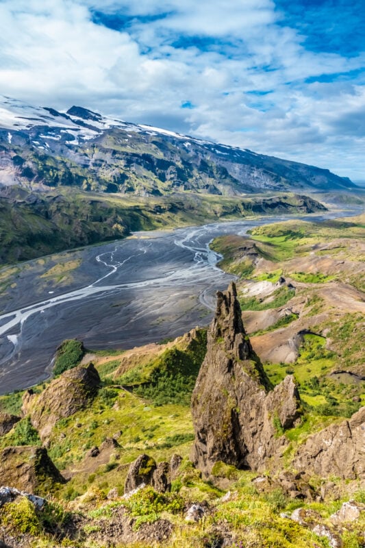
Every name on this trail is a piece of old mythology. Landmannalaugar means “People’s Pools,” after the hot springs where Icelanders have bathed for centuries. Þórsmörk, where the trail ends, means “Thor’s Forest,” named for the god of thunder himself. Even Laugavegur simply means “the hot springs route,” which barely hints at what’s actually out there.
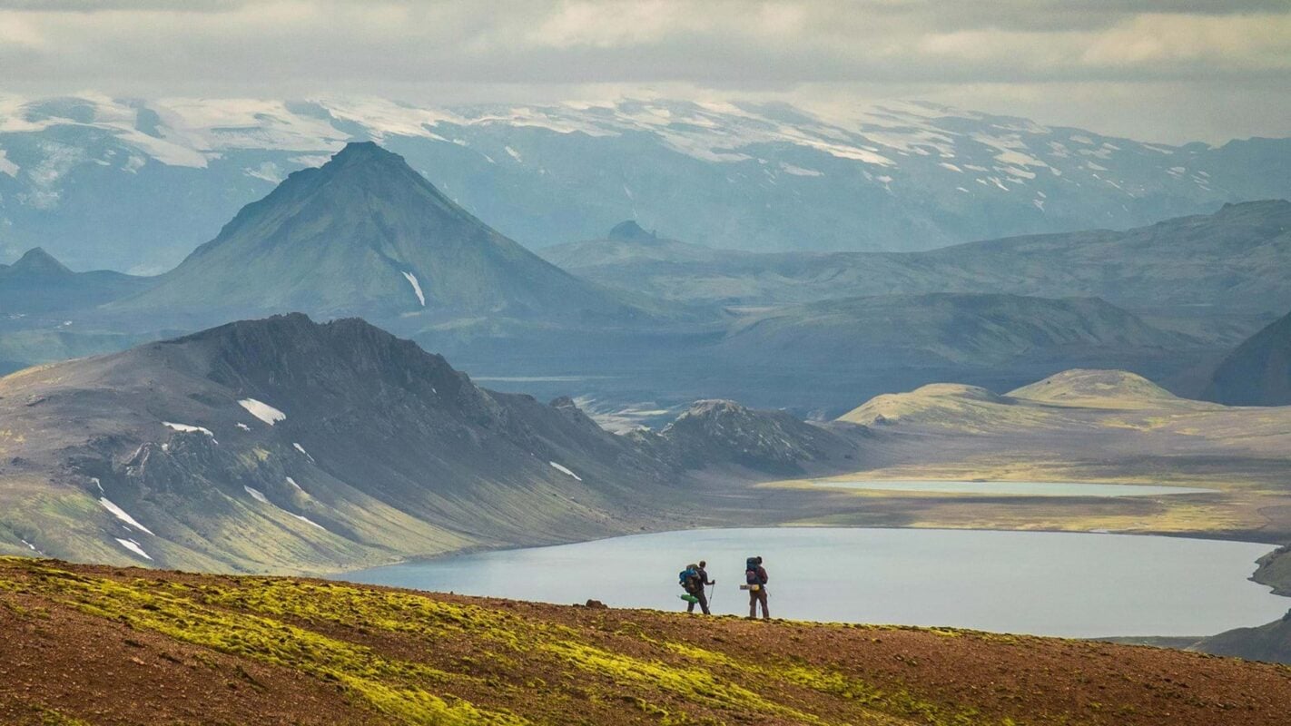
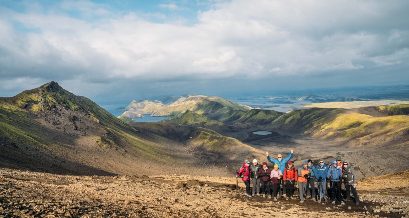
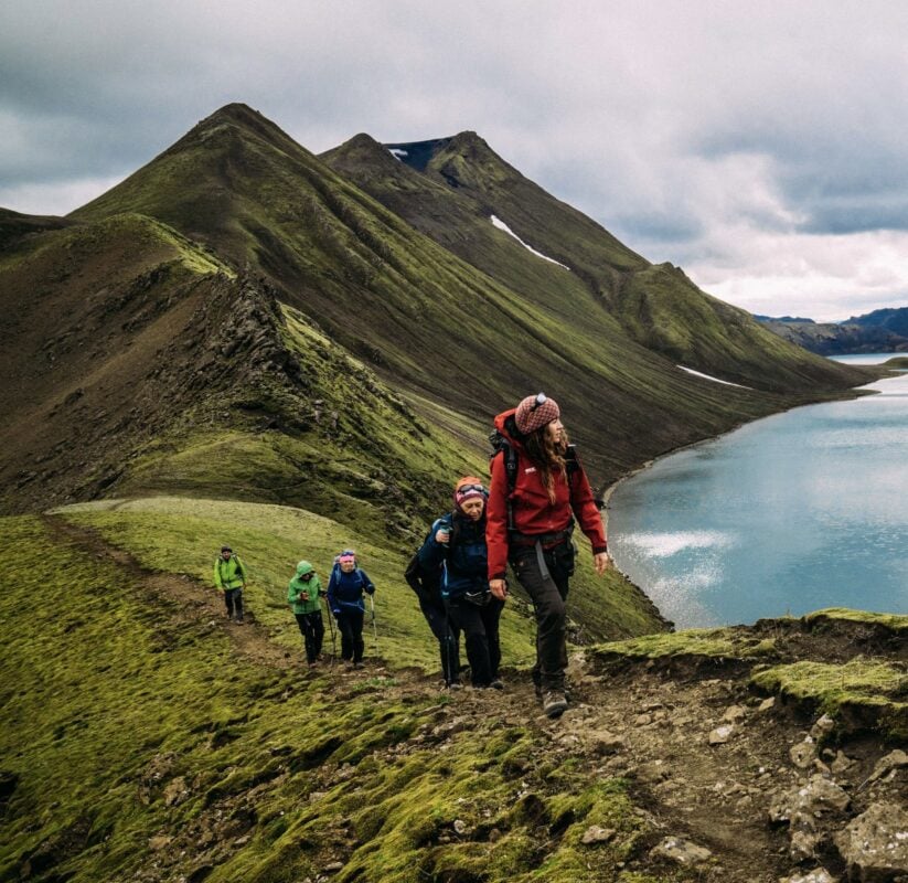
The trail starts in a lava field born from a 1477 eruption, now cooled into rhyolite mountains striped in iron red and copper gold, the kind of ground that explains why old Icelandic stories are full of trolls and hidden folk instead of ordinary answers.
This 35-mile (55 km) trek is Iceland’s signature multi-day hike: black sand deserts, steaming geothermal fields, obsidian ridges, and turquoise lakes, all connected by heated mountain huts so you’re never carrying more than a sleeping bag. The 6-day version goes further still, up to the Fimmvörðuháls Pass and past craters from the 2010 Eyjafjallajökull eruption, still young enough to feel warm underfoot.
Come see why the locals never needed to exaggerate the names. The land already does that for them.
The best time to hike the Laugavegur trail is late June through August. This is when the highland roads are open, the huts are staffed, and the trail is at its most accessible. In Iceland, we say that if you don't like the weather, wait ten minutes.
— Aron Breki Danielsson in The Laugavegur Hiking Trail: What 22 Tours Taught Me
Laugavegur Trail, Iceland - Good to Know
Moderate
5-6 days
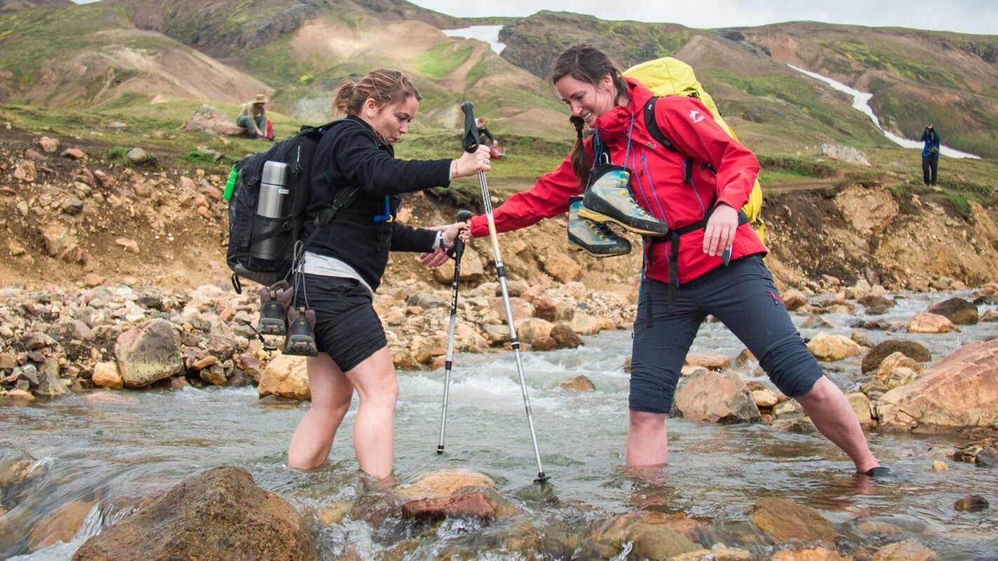
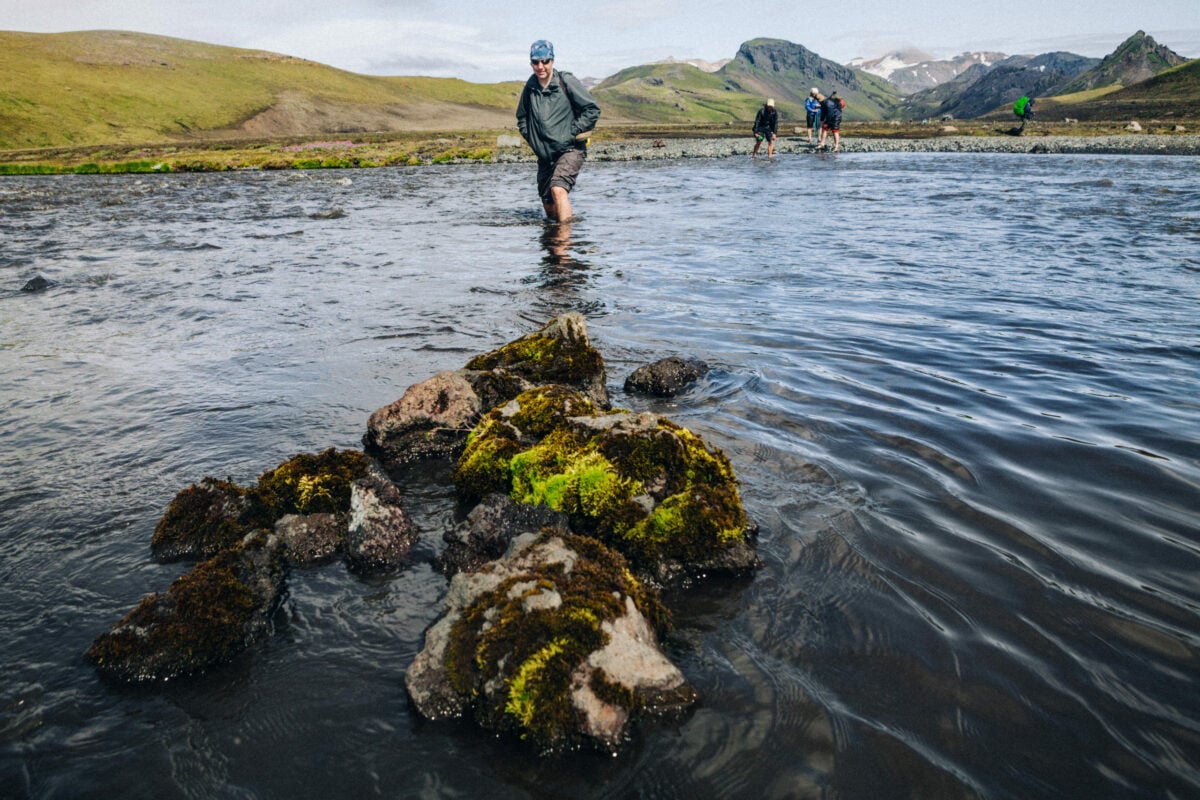
Mostly undemanding volcanic terrain, with occasional steep sections and river crossings.
Up to 1,000 m (3,280 ft), depending on itinerary
Hikers looking for otherworldly scenery without technical difficulty.
Landmannalaugar, Icelandic Highlands.
Late June through August.
5. Alta Via 1, Italy
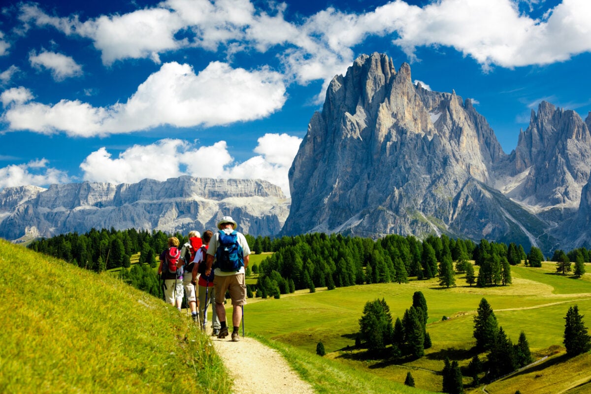
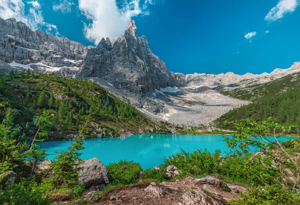
Alta Via 1 doesn’t just take you through the Dolomites, it takes you through the Ladin valleys, home to a language and culture found nowhere else on Earth, one that’s been rooted in these mountains for centuries. You’ll hear it in the rifugio kitchens before you see it on any map: a Romance language distinct from both Italian and German, older than either border that now runs through it.
The trail’s real rhythm is simple: climb, arrive, eat, sleep, repeat. Rifugio Lagazuoi sits at the trail’s highest point, 2,752 m (9,029 ft), with the biggest terrace and the best sunset in Cortina. Rifugio Fanes, tucked into a high plateau since 1928, still keeps photographs and relics on its walls from a century of hikers passing through.
And everywhere you stop, the same unofficial menu appears: speck, polenta, canederli dumplings, and strudel, plus whatever the kitchen pulled from the valley that morning.
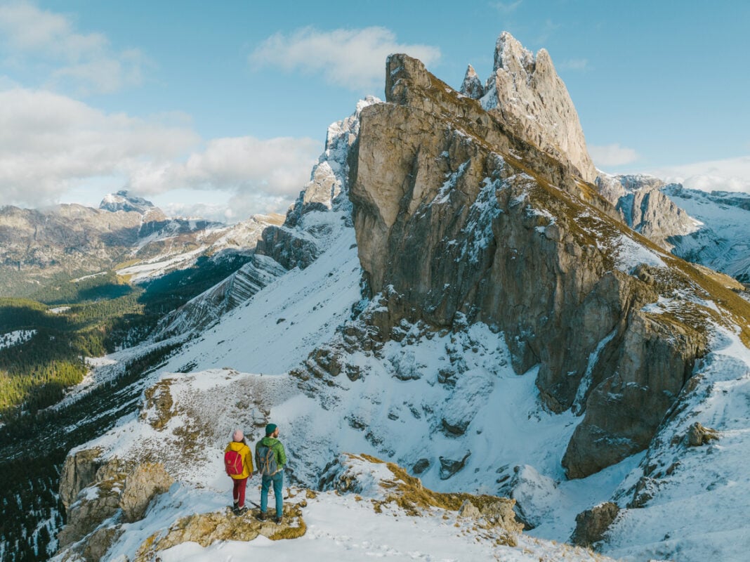
Along the way, the scenery does most of the talking. You’ll pass beneath the Tre Cime di Lavaredo’s three unmistakable towers, catch the Marmolada glacier glinting from a distance, and walk straight through WWI trenches still cut into the rock, a reminder that these same passes were once a battlefield, not just a backdrop.
Six days, hut to hut, no tent required, just a daypack and an appetite for whatever’s coming out of the kitchen next.
The Alta Via is a soul-stirring odyssey through the Dolomites' timeless beauty. It will challenge your body while nourishing your spirit. From Lago di Braies' serene start to Belluno's triumphant finish, every step unveils wonders: towering spires, historic echoes, and unbreakable bonds with fellow hikers.
— 57hours in Alta Via 1: Everything You Need to Know
Alta Via 1, Italy - Good to Know
Moderate
6 days
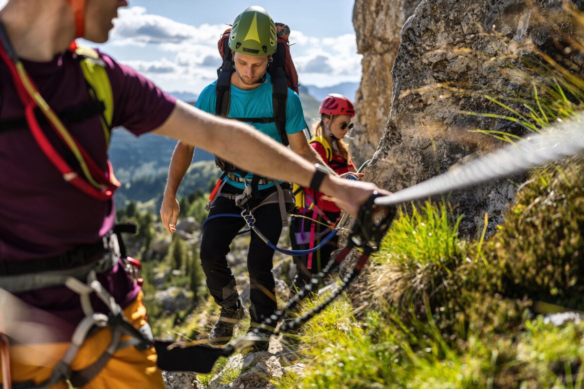
Steep dirt roads, high alpine meadows, and some rocky, exposed sections.
Up to 1,050 m (3,445 ft) of ascent on the biggest day.
Fit hikers with some multi-day experience looking for a hut-to-hut classic.
Cortina d’Ampezzo, Italy.
June through September.
6. Inca Trail to Machu Picchu, Peru
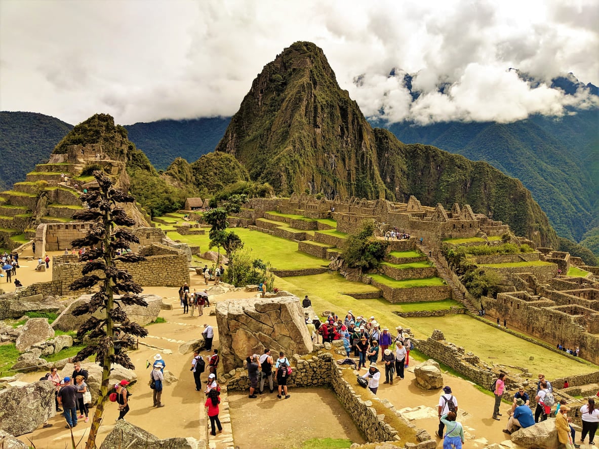
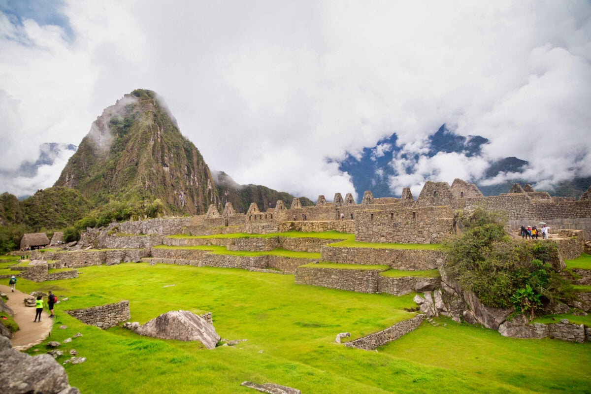
Here’s the strange part: nobody was even looking for Machu Picchu. In 1911, a Yale historian named Hiram Bingham set out through the Andes hunting for Vilcabamba, the actual lost capital of the Inca resistance. He never found it. Instead, a local farmer and an 11-year-old boy led him up a ridge to something nobody outside Peru had ever heard of: an entire citadel, still standing, still nearly perfect, wrapped in four centuries of jungle vines.
The Spanish conquistadors, who tore down most of the Inca Empire, never found this place at all. No records, no looting, no destruction, just silence, and a mountain that kept the secret for them. What you’re walking toward today is one of the only major Inca sites the Spanish never touched.
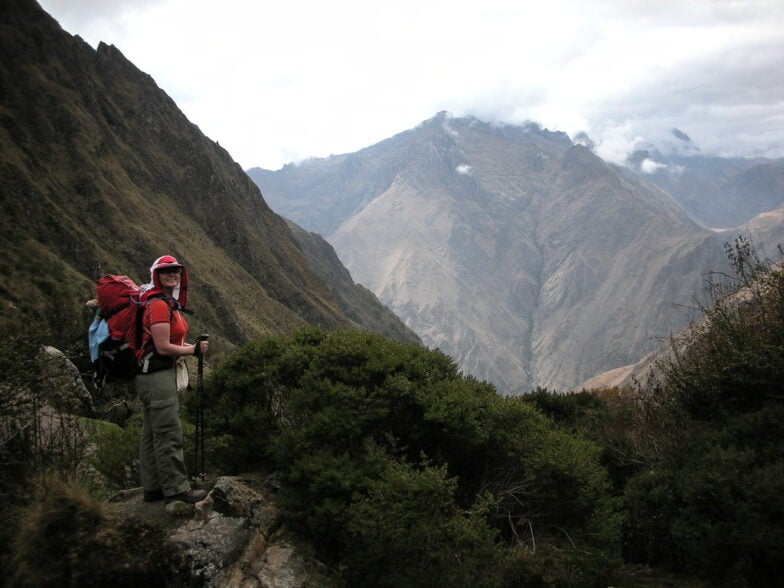
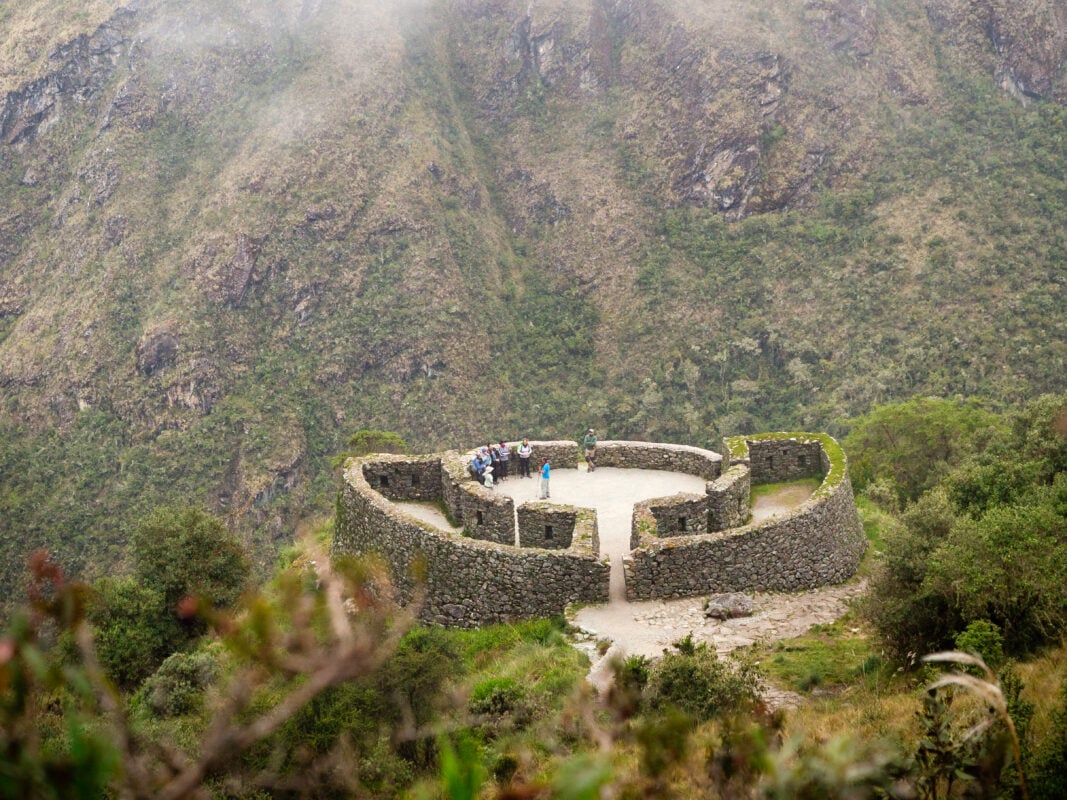
And you get there the same way pilgrims once did: on foot, along a 500-year-old royal road built by an empire with no wheels, no iron tools, and no written language, just stone cut so precisely it still fits together without mortar.
The classic 4-day trek climbs through cloud forest and over Dead Woman’s Pass, Peru’s highest point on the trail at 4,215 m (13,828 ft), past ruins most tour buses never reach, before the trail delivers its final trick: the Sun Gate, timed for sunrise, so your first glimpse of Machu Picchu is exactly the one the Incas built it for.
The Inca Trail isn't the easiest way to reach the Historic Sanctuary of Machu Picchu—getting to the civilization's most monumental relic shouldn't be after all. But it is the best.
— Raul Ccolque in Hike the Inca Trail to Machu Picchu: A Local Guide’s Review
Inca Trail to Machu Picchu, Peru - Good to Know
Moderate
2 or 4 days
Stone stairways and mountain paths, entirely uphill or downhill with no flat stretches.
Up to 4,215 m (13,828 ft) at the trail’s highest point.
Hikers who want ancient history built directly into the trek.
Cusco, Peru (via Ollantaytambo).
May through September, the dry season.
7. Denali Backcountry, Alaska
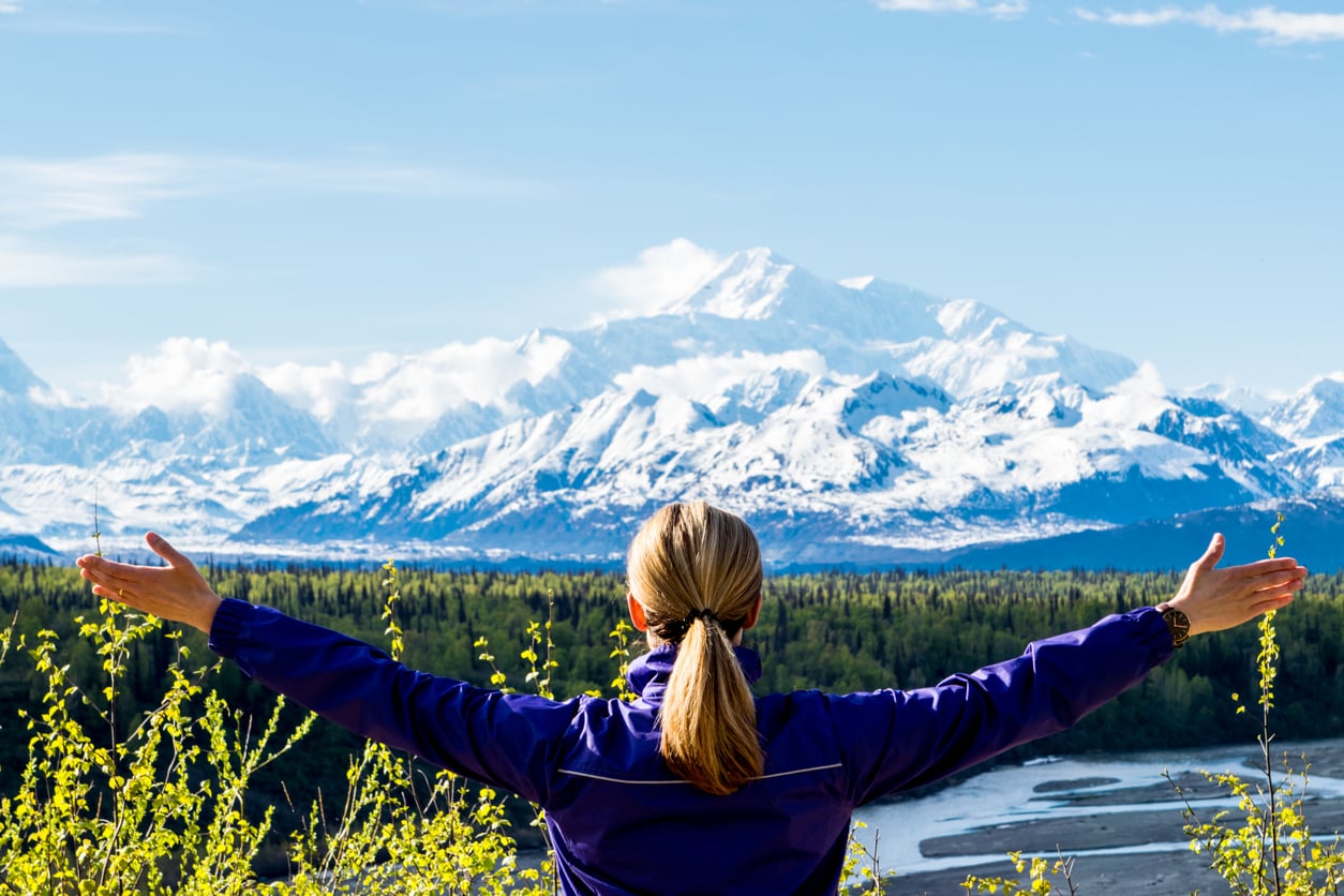
There’s no trail here. No sign, no cairn, no worn dirt path to follow, because almost nobody goes where this trip goes. To get in at all, you fly: a floatplane drops you onto a lake in the middle of six million acres of tundra, more land than the entire state of New Hampshire, and once the plane lifts off again, that’s it. No cell signal, no road, no way out until it comes back.
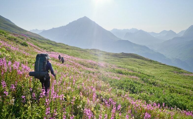
From there, every day starts from scratch. There’s no fixed campsite waiting for you, no marked route on a map, just your guide reading the terrain, the weather, and the river levels fresh each morning and deciding where you’re actually walking.
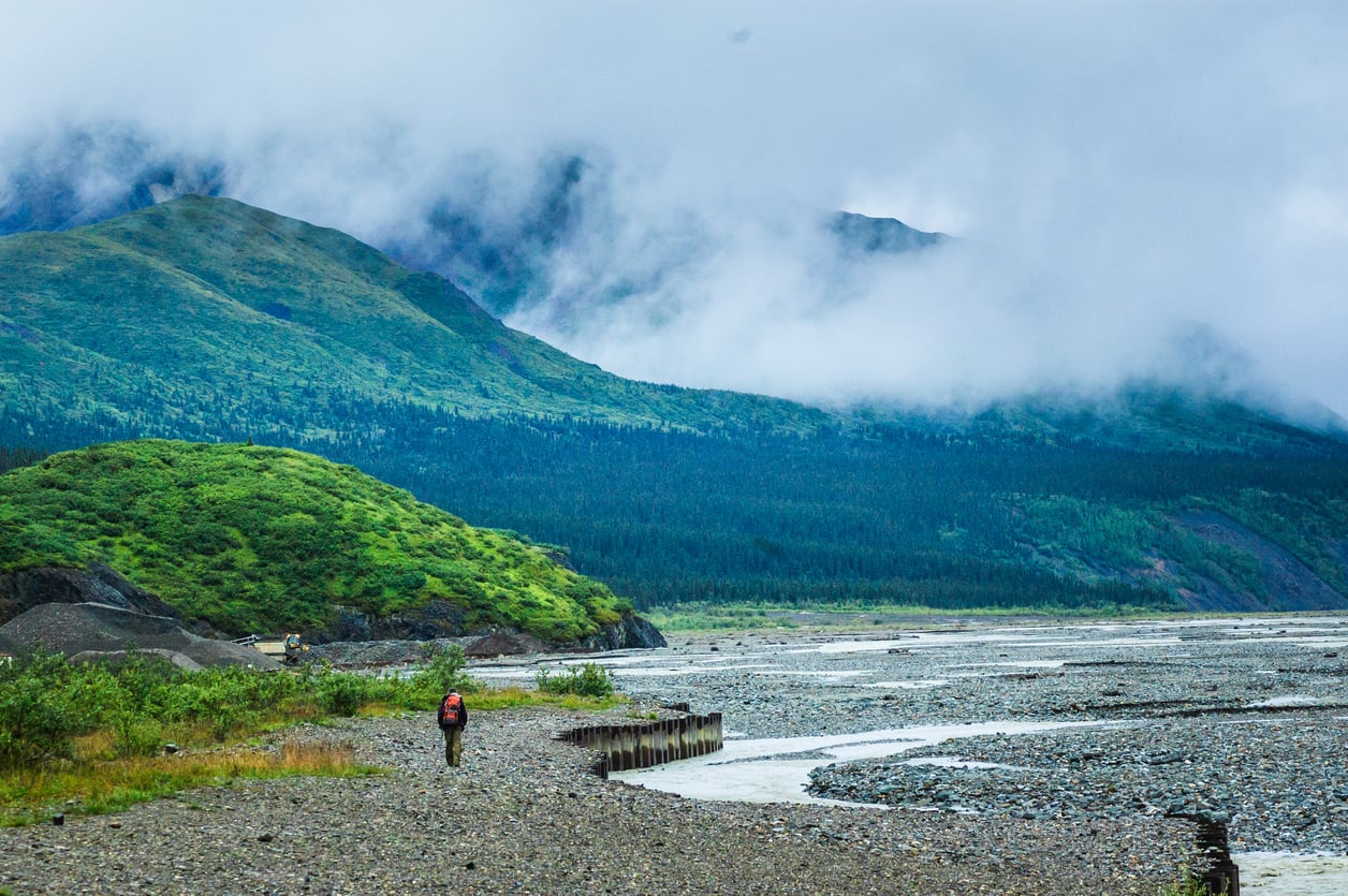
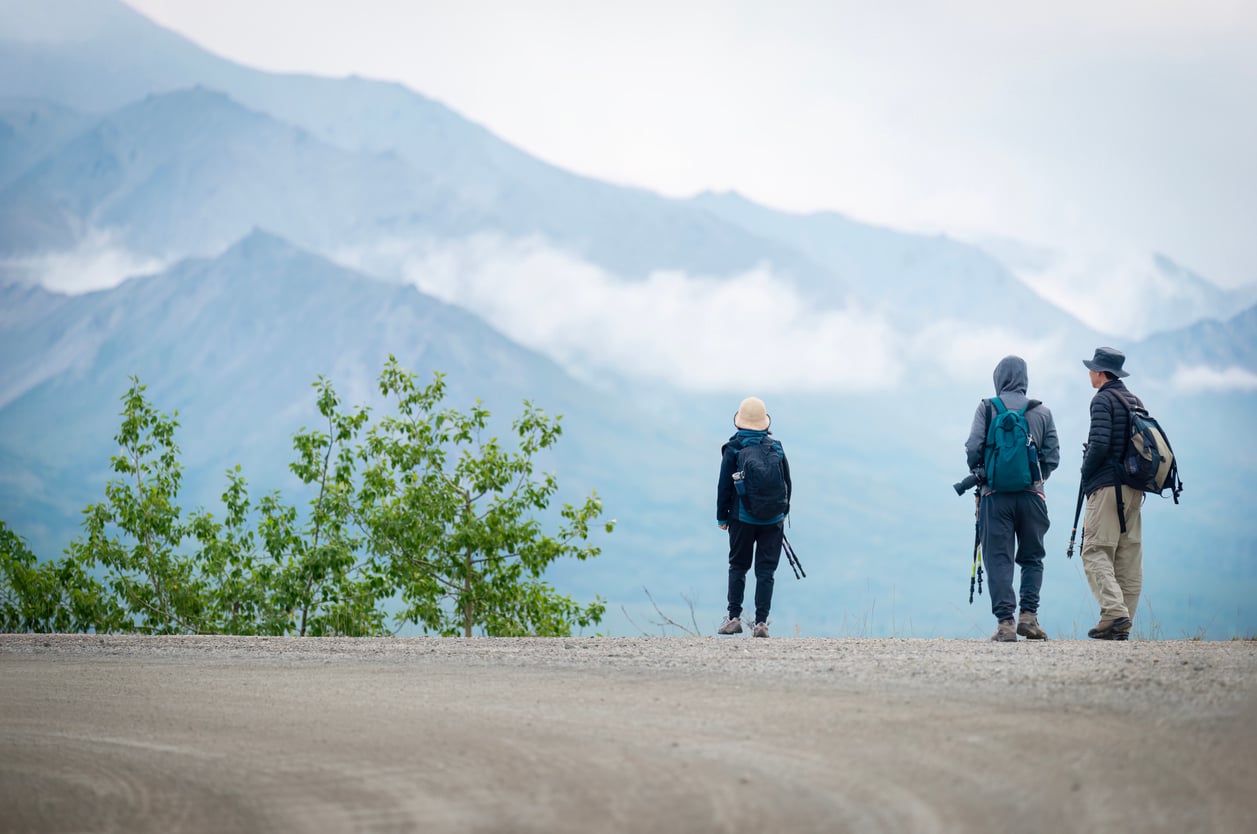
You’ll cross glacial rivers on foot, pick your way through open tundra, and go entire days without seeing another group, because there simply isn’t another group out here to see.
Grizzlies, caribou, and Dall sheep move through this landscape like it’s still theirs, mostly because it still is. Denali itself might tower over your route in full 20,310 ft (6,190 m) view, or vanish into cloud for a week straight, and either way changes nothing about the trip.
This was never about the summit. It’s about six days of walking through some of the last truly untouched wilderness left in North America, one uncertain, unmarked mile at a time.
I simply fell in love with this place. It is more than just a mountain, it has become a sanctuary that engenders respect for nature; to be high on ridgelines you feel like you're on top of the world, and realize how small you are.
— Jack Bynum in Why Backpacking in Denali is a Constant Source of Wonder
Denali Backcountry, Alaska - Good to Know
Moderate
8 days
Off-trail travel across tundra, scree, river crossings, and glacial moraine.
Varies by route; no fixed elevation profile due to off-trail travel.
Experienced backpackers seeking true remoteness over creature comforts.
Talkeetna, Alaska.
Summer months, weather-dependent.
8. North & South Island, New Zealand
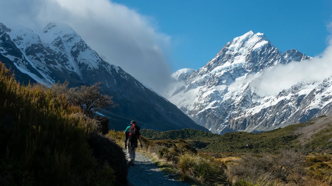
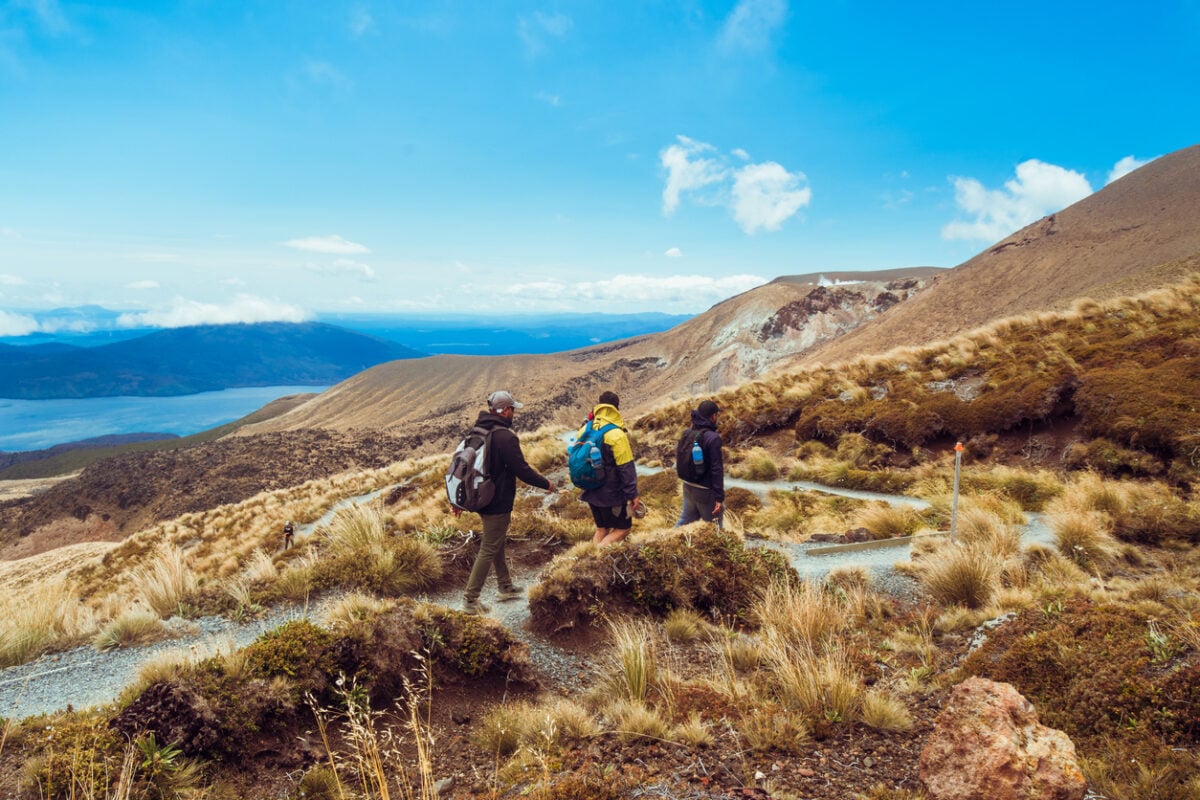
Most trips pick a landscape and stick with it. This one refuses to. One week you’re crossing a volcanic desert on the Tongariro Northern Circuit, Ngāuruhoe smoking overhead like it’s still deciding whether to play Mount Doom again, and by the next you’re barefoot on the golden sand of Abel Tasman, timing your walk between headlands to the tide. A few days after that, you’re sleeping under a limestone overhang the size of a ballroom, deep in a canyon most hikers never even hear about.
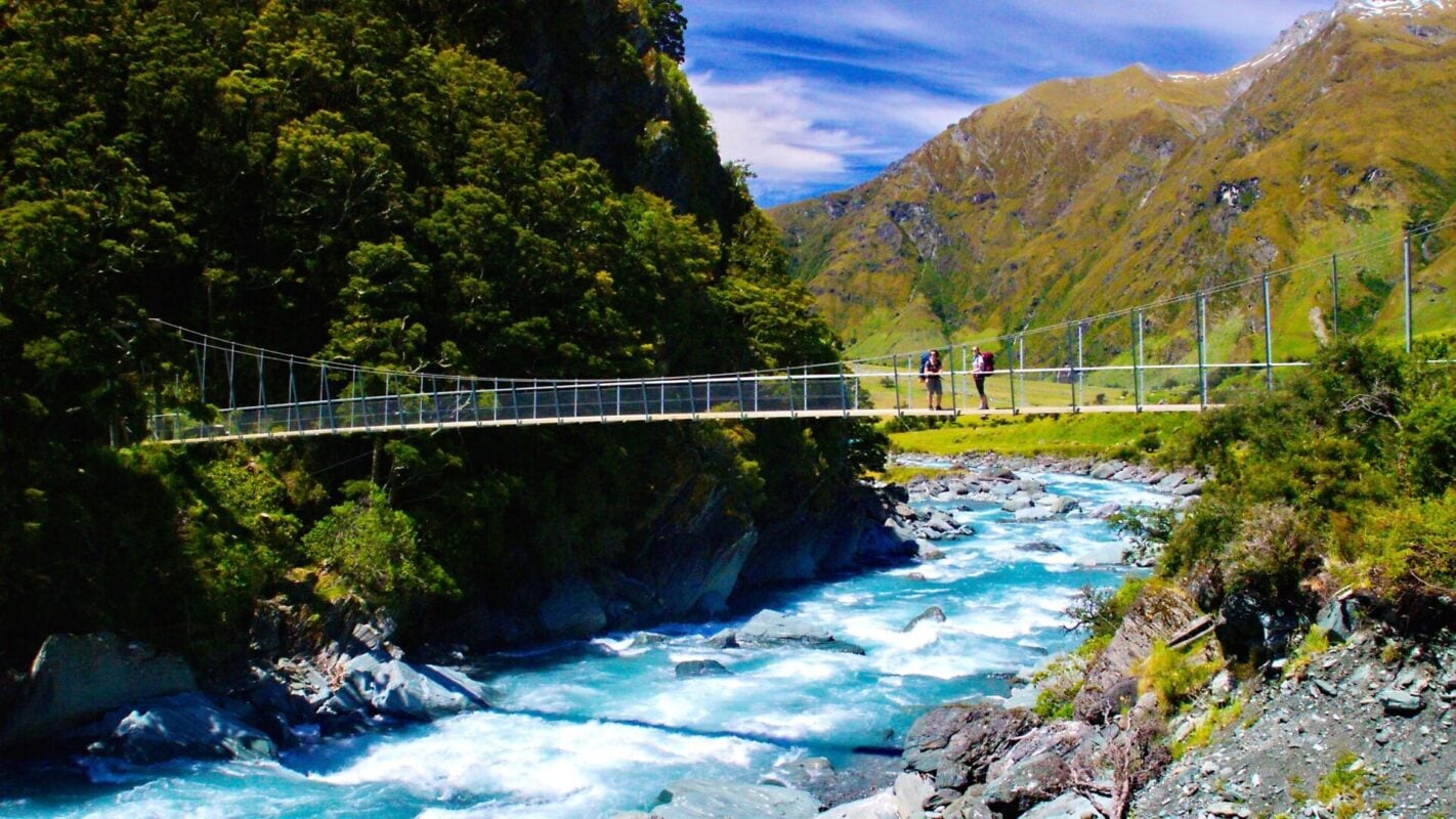
The days themselves stay short enough to actually enjoy, capped around 15 km (9.3 mi), so the real challenge is showing up ready for 24 days in a row, not surviving any single brutal one. Nights swing between backcountry huts, tents pitched wherever the day ends, and the occasional real bed, which keeps the whole trip feeling like a string of small adventures instead of one long grind.
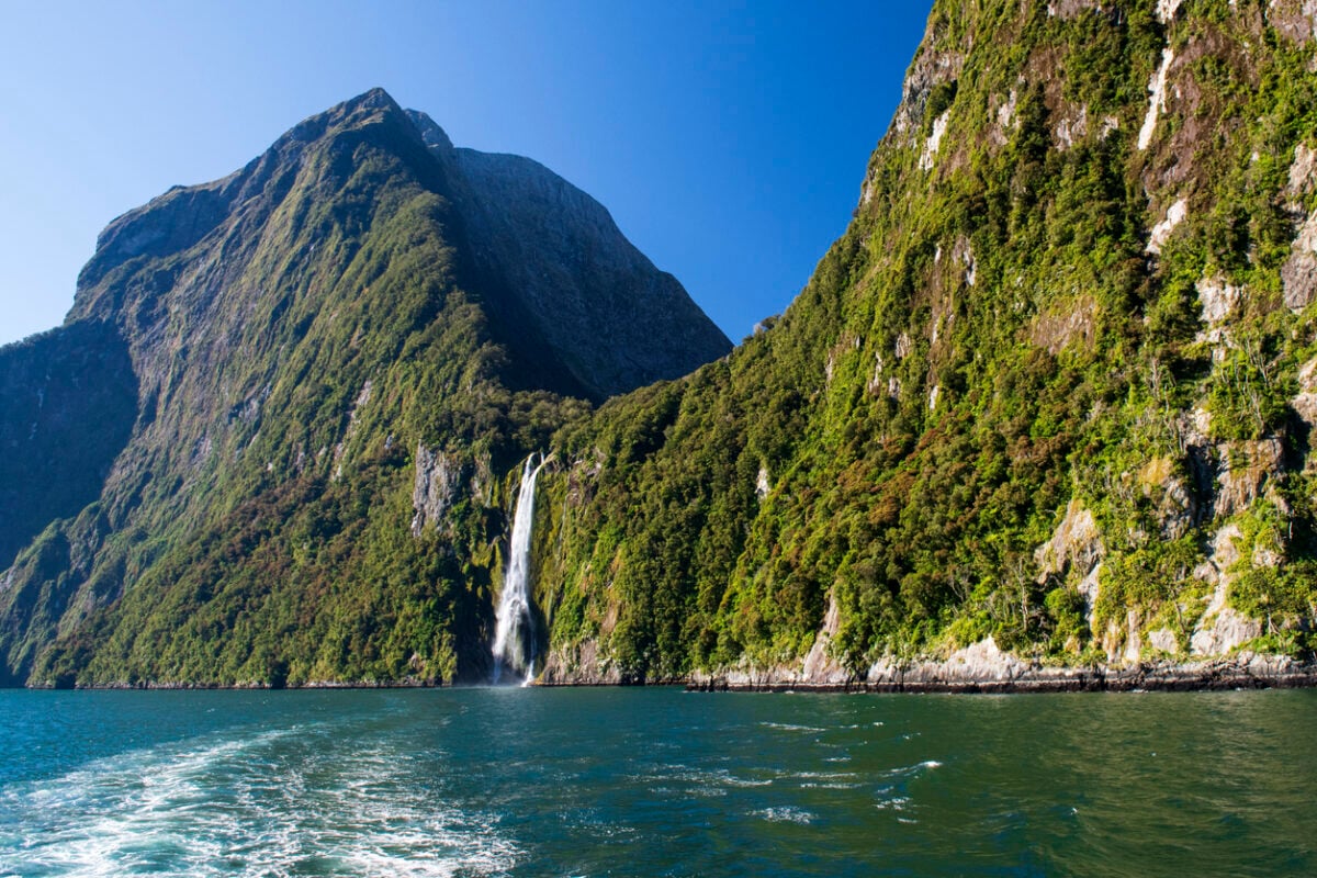
And then there’s the day you don’t hike at all: a boat glides you through Milford Sound instead, waterfalls dropping straight into the water on either side, dolphins surfacing alongside like they’re along for the ride too.
By the time you’re done, you’ll have walked through more versions of New Zealand than most people see in a lifetime of visits, and you’ll understand exactly why the locals never bother explaining which region is “the best one.” Out here, that question doesn’t really make sense.
West of that divide is wet, rugged, and densely forested. East of it is drier, more open, and defined by wide valleys and big glaciated peaks. That sharp transition is one of the things that makes hiking New Zealand so distinctive.
— Dan Murphy in Hiking New Zealand: Local Guide’s Top Tips
North & South Island, New Zealand - Good to Know
Moderate
24 days
Huge variety: volcanic tundra, coastal tracks, limestone canyons, alpine passes.
Up to 800 m (2,600 ft) on the biggest days.
Hikers with the time for a full immersion into New Zealand’s landscapes.
Auckland, New Zealand.
November through March.
9. Appalachian Trail (Roan Highlands & Max Patch), USA
In 1948, a war veteran named Earl Shaffer set out from Georgia with one plan: walk the entire Appalachian Trail in one go, all 2,190-plus miles of it, because he needed to “walk the war out of my system.” Nobody thought it was possible.
The trail wasn’t even fully finished as a continuous path yet. He didn’t care. Four months later, he stood on Mount Katahdin in Maine, the first person in history to thru-hike the whole thing, and every AT hiker since has been walking in the wake of that decision.
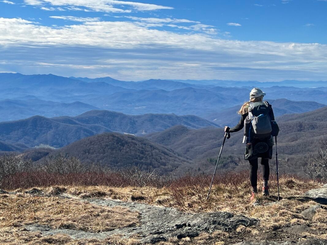
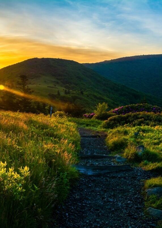
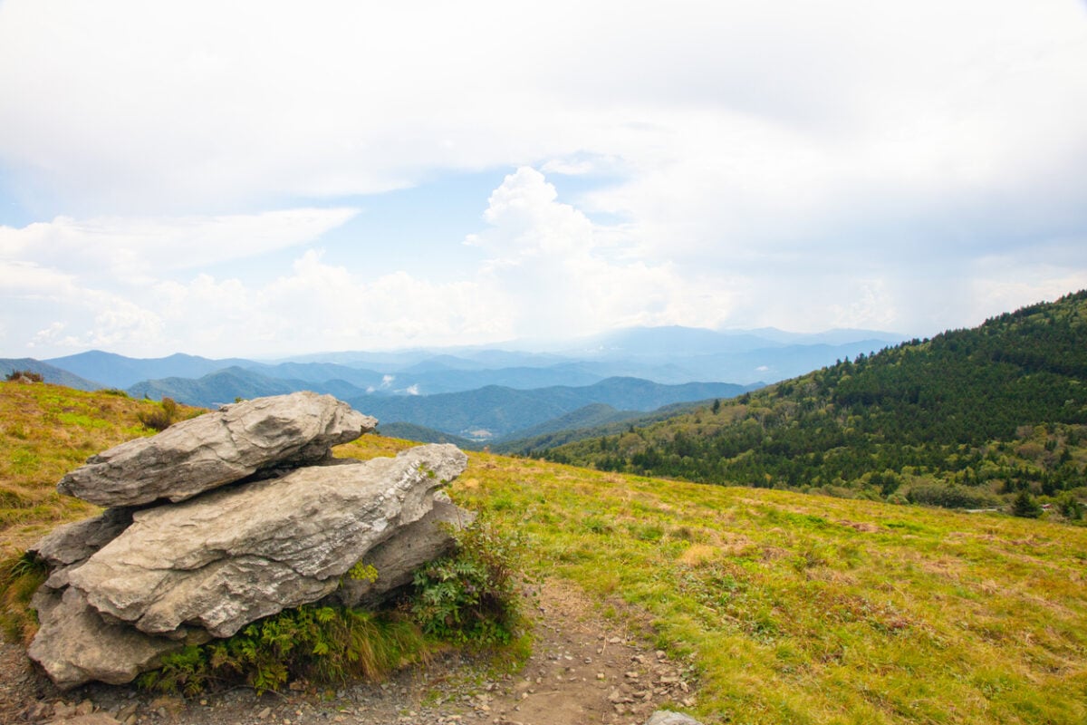
You’re not signing up for four months. This 3-day trip covers either the grassy balds of the Roan Highlands or the sweeping summit of Max Patch, a genuine slice of the same trail Shaffer walked, minus the war he was trying to leave behind and minus three and a half months of it. What you get instead is real backpacking: a full pack on your back, camp under the stars, and the same 360-degree views that have been pulling people onto this trail for over a century.
And you’ll feel the culture immediately, even in just 3 days. Section-hikers and thru-hikers doing the real thing will cross your path on the same ridgelines, swap stories at the same overlooks, and remind you that “trail magic” isn’t a marketing phrase out here, it’s just what happens when strangers share a mountain long enough.
The trail magic is real on the A.T.—the camaraderie between hikers and local communities is one of a kind. Its iconic status has inspired the creation of long-distance trails around the world.
— 57hours in Hiking Tours Along the Appalachian Trail
Appalachian Trail (Roan Highlands & Max Patch), USA - Good to Know
Moderate
3 days
Rolling balds and ridgeline with a few real climbs and descents.
Up to 2,150 ft (655 m) of gain on the biggest day.
Hikers wanting genuine backpacking mileage without a long-trail commitment.
Hot Springs, North Carolina.
Spring through fall.
10. Tour du Mont Blanc, France-Italy-Switzerland
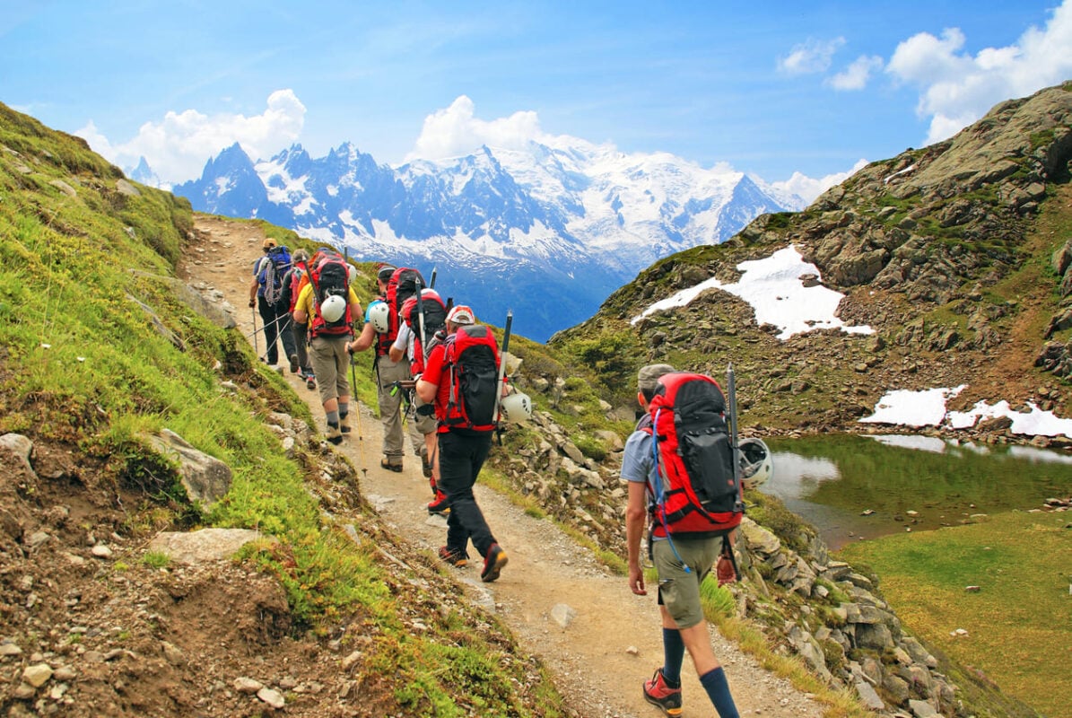
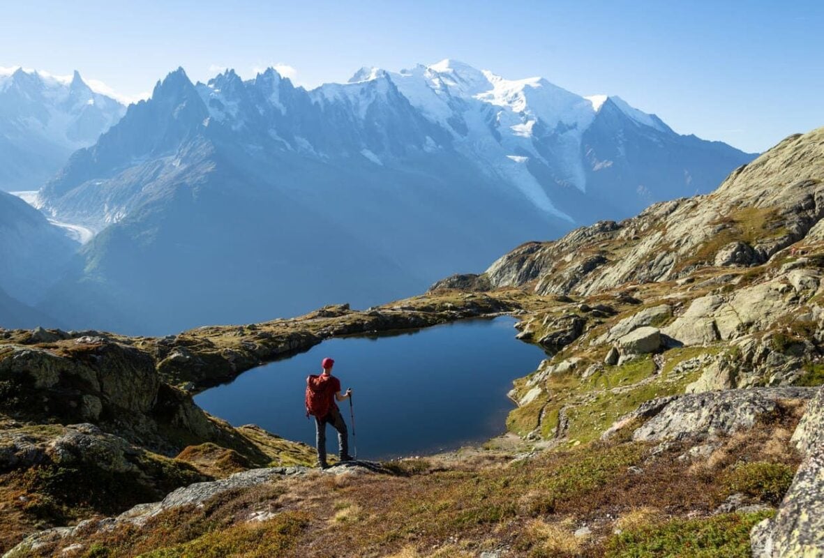
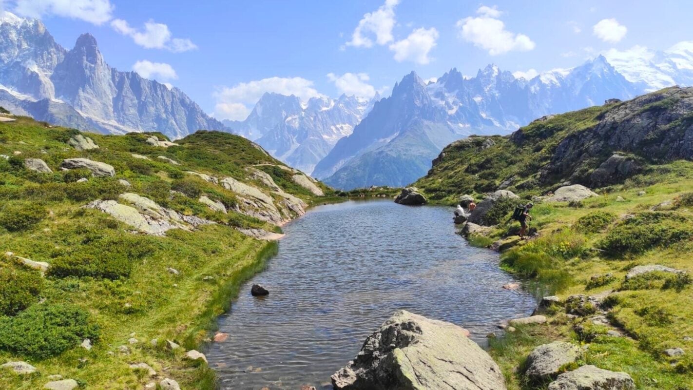
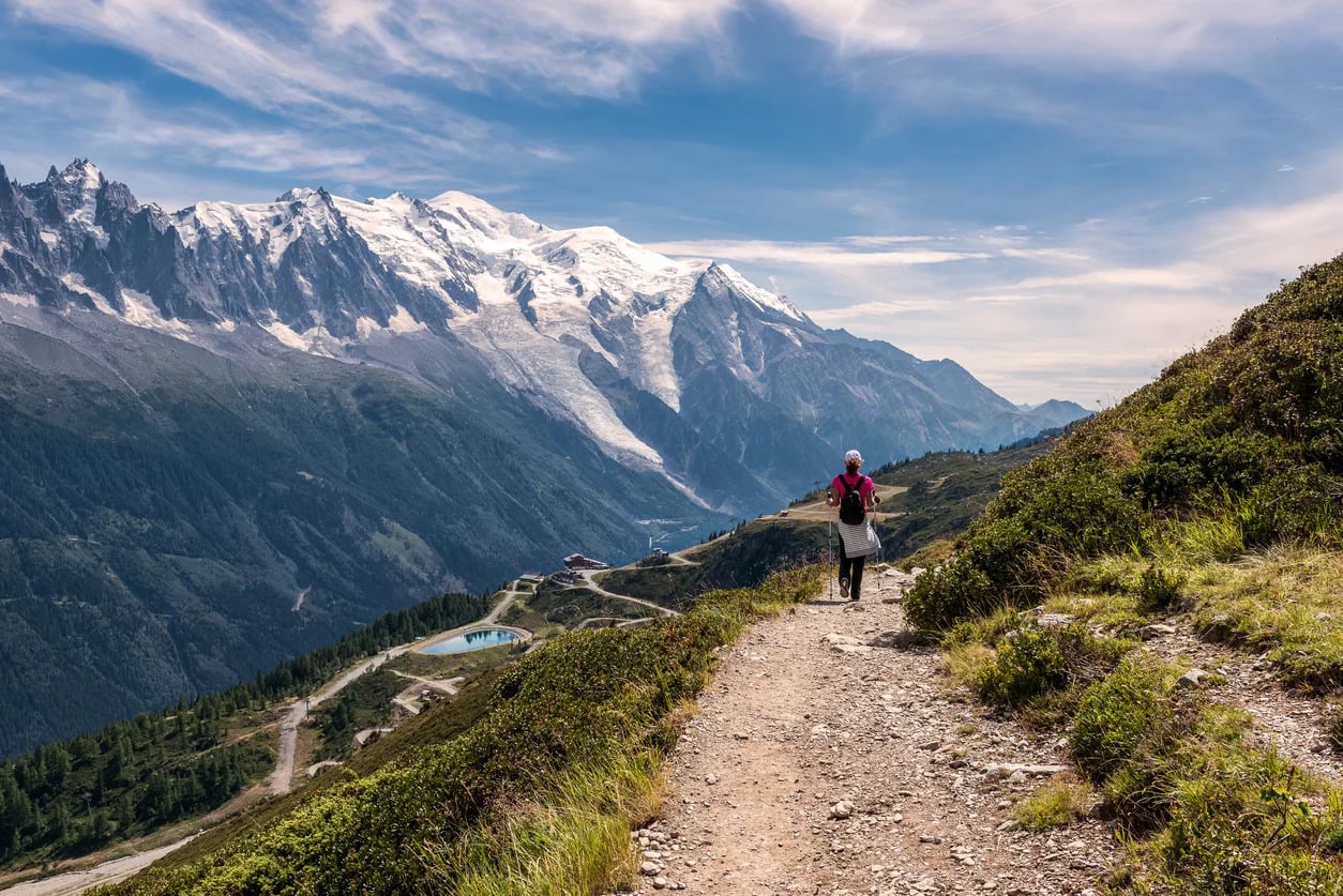
Every morning on the Tour du Mont Blanc starts the same simple way: you wake up, someone hands you coffee, and Mont Blanc is just there, filling the window like it’s been waiting for you. Then you walk toward it, around it, alongside it, for as long as you want, 8 days or 12, through three countries that somehow never feel far apart.
The best part isn’t even the passes, though the passes are stunning. It’s the small stuff. French tartiflette one night, Italian pasta the next, Swiss fondue after that, and never once do you have to cook it, carry it, or clean up after it. Your bag moves ahead of you each day, so you show up to a real bed and someone else’s kitchen, over and over, for as long as the trip lasts.
And then there’s the last day: walking back into Chamonix, Mont Blanc overhead one final time, having circled the whole thing on foot. Around 20,000 people do some version of this loop every year, and somehow it never gets old, because the mountain looks a little different from every single angle, and you just spent over a week proving it.
People often ask why hiking Tour du Mont Blanc continues to excite me. The answer is simple. It never repeats itself. Light transforms valleys in minutes. Weather rewrites the day without warning. A familiar trail feels completely different depending on who you are walking with.
— Sébastien Tournoud in What a Luxury Hiking Tour du Mont Blanc Trip is Really Like
Tour du Mont Blanc, France-Italy-Switzerland - Good to Know
Challenging
8-12 days
High mountain passes, glacier views, one suspension bridge, forest and pasture trails.
Up to 1,350 m (4,430 ft) of gain per day.
Fit hikers who want the TMB’s classic circuit with hotel comfort.
Chamonix or Saint Gervais les Bains, France.
June through September.
11. Walker’s Haute Route, France-Switzerland
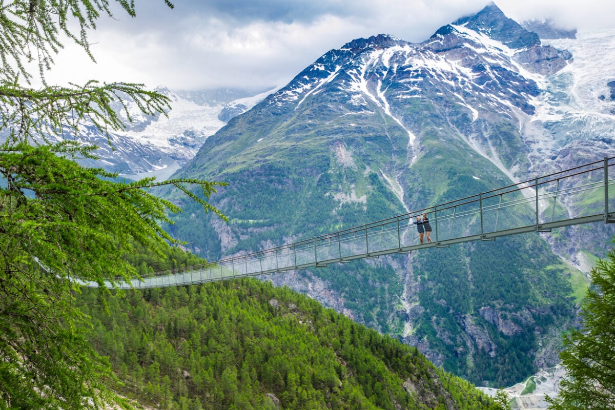
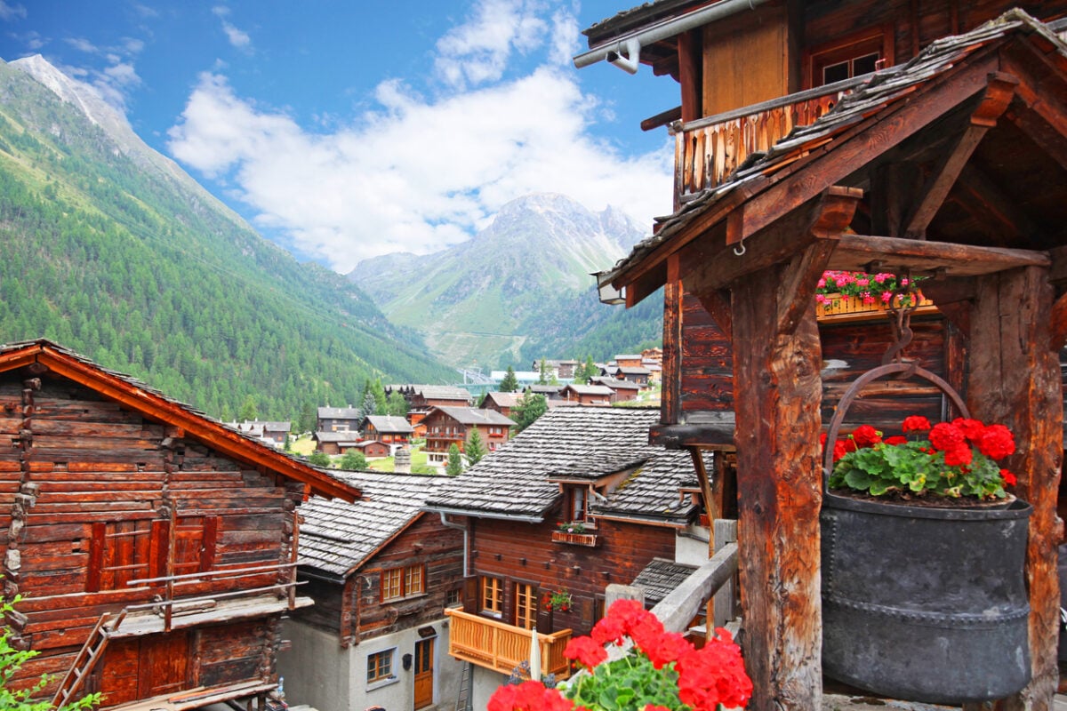
If the Tour du Mont Blanc is a loop around one mountain, the Haute Route is a straight shot through all of them. Ten of the twelve highest peaks in the Alps show up along this trail, one after another, like the mountains themselves lined up to be introduced.
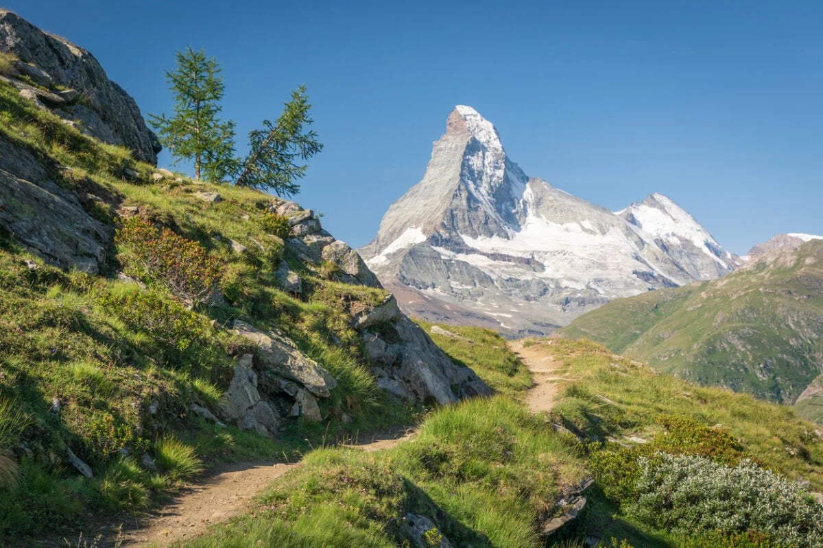
You start under Mont Blanc in Chamonix, and every day after that trades one iconic view for another: the Matterhorn appearing and disappearing behind ridgelines, glaciers close enough to hear them moving, high passes that make you forget how much climbing it took to reach them. Choose the full 12-day Classic version if you want every mile, or the 9-day Highlights route if you’d rather hit the best parts without giving up your whole month.
And then, after days of watching the Matterhorn tease you from a distance, you finally walk straight into Zermatt with it rising directly overhead, an ending most people spend years dreaming about before they actually get to have it. Long days, real climbing, and a finish line that makes every step of it feel completely worth it.
Brace yourself for long daily hikes; patchworks of dramatic landscapes leading you from glaciated mountains reflecting in crystalline lakes to verdant valleys and meadows beneath 9,500-foot mountain passes.
— 57hours in Walker’s Haute Route: From Chamonix to Zermatt
Walker’s Haute Route, France-Switzerland - Good to Know
Challenging
9-12 days
High mountain passes, ladder sections, glacier moraine, and Alpine meadow.
Up to 2,000 m (6,561 ft) of gain on the hardest day.
Experienced hikers with a high level of fitness and comfort at altitude.
Chamonix, France.
July through September.
12. O Circuit, Torres del Paine, Chile
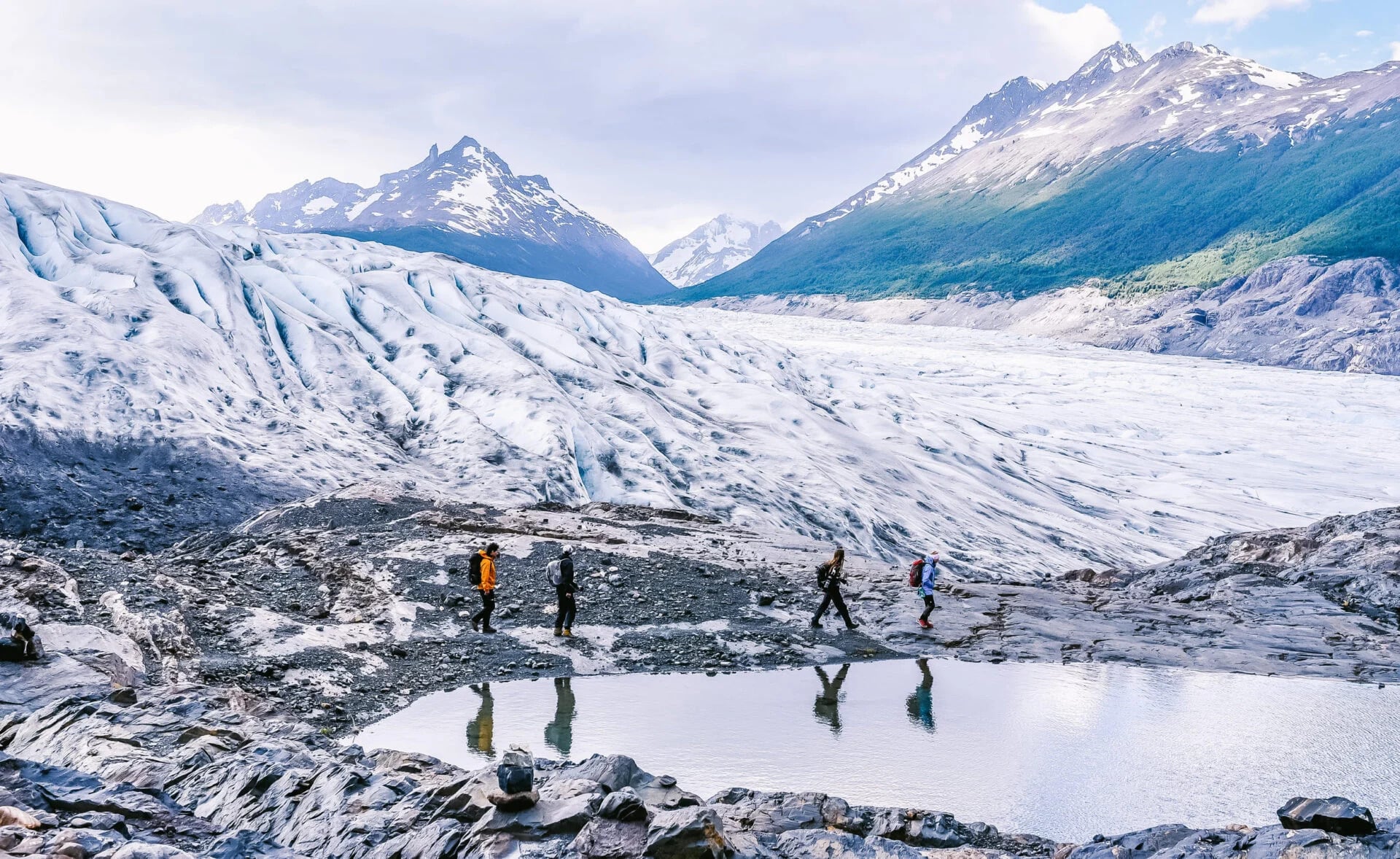
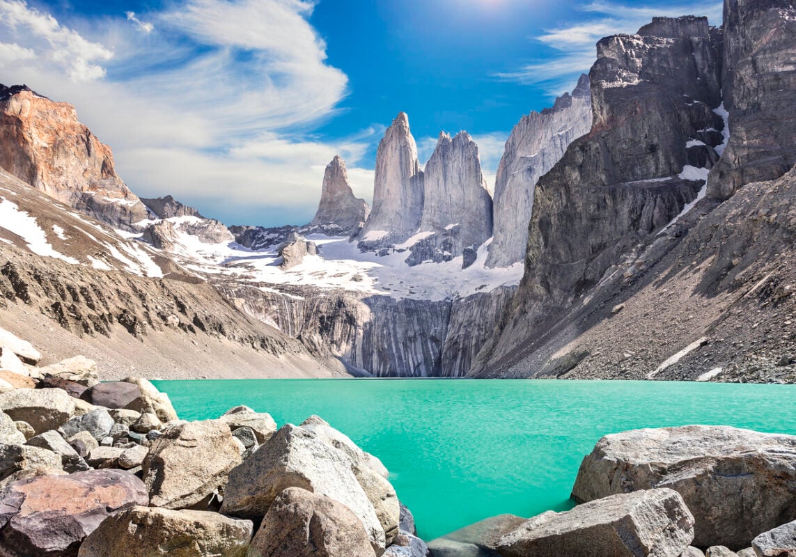
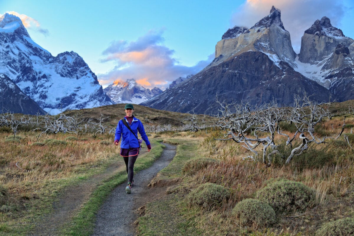
The O Circuit doesn’t ease you in, it just takes you all the way around. While most visitors to Torres del Paine do the shorter W Trek and call it a day, this one keeps going, tracing the entire Cordillera del Paine in one continuous loop so you see the mountain from every side it has to offer, not just the postcard one.
The turning point comes at John Gardner Pass, the highest ground on the whole circuit, where you crest a ridge and the Southern Patagonian Ice Field just opens up in front of you, endless and blue-white and bigger than anything you were expecting. It’s the kind of view that makes the seven straight days of hiking to get there feel entirely fair.
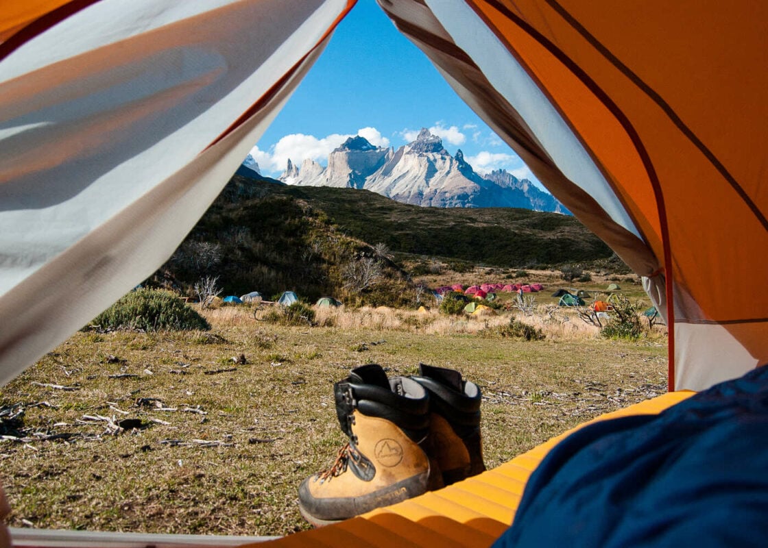
Nights swing between mountain refuges and tents, whichever the trail and the weather allow, so you’re never locked into one or the other. And the Patagonian wind does exactly what it’s famous for, showing up uninvited and reminding you who’s really in charge out here. Seven days, one loop, and by the end, you’ll have earned every single mile of it.
The W is excellent. It earns its reputation every season. But the O gives you something the W cannot. You see the mountain from every angle. You pass through every ecosystem. By the end, you understand what Torres del Paine national park in Chile actually is.
— Matías Garcés in Patagonia Trekking in Torres del Paine: W Trek and O Circuit Explained
O Circuit, Torres del Paine, Chile - Good to Know
Challenging
7 days
Forest paths, moraine, suspension bridges, and one major mountain pass.
4,151 m (13,618 ft) of total gain over the full circuit.
Excellent-fitness hikers seeking Patagonia’s wildest, least-crowded terrain.
Puerto Natales, Chile.
November through March.
13. Grand Canyon Rim-to-Rim, Arizona
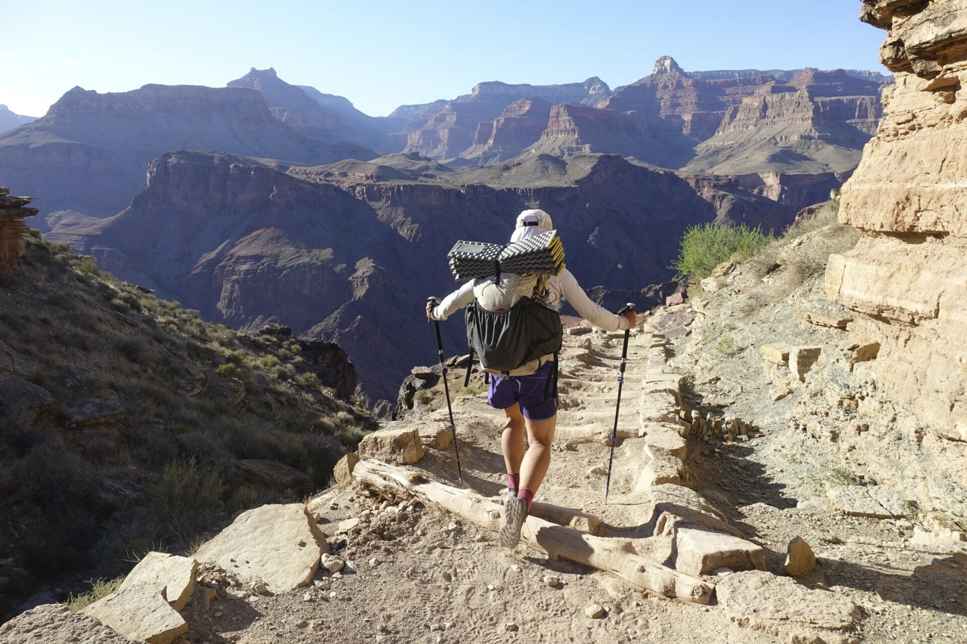
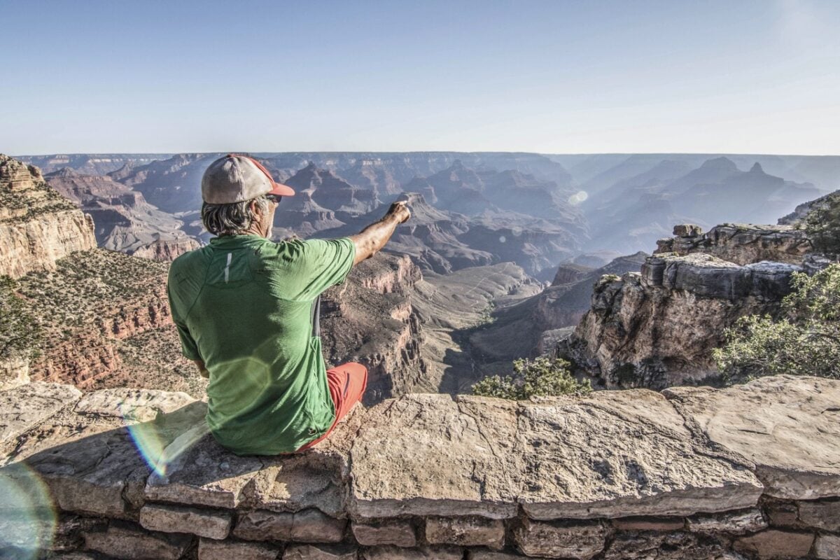
Most people see the Grand Canyon from the rim, snap a photo, and drive off thinking that’s the whole story. It isn’t. This trip takes you inside it, where the canyon actually reveals itself.
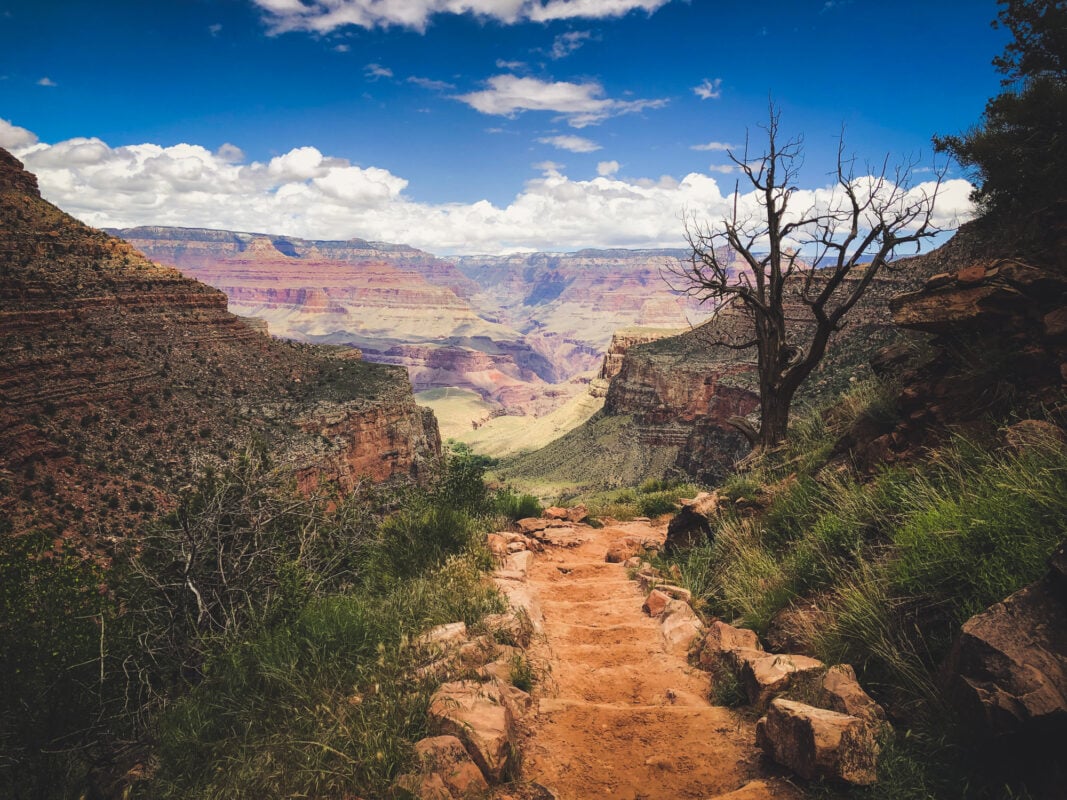
You start on the North Rim and head down. Bright Angel Creek runs alongside the trail for a while, The Box narrows in tight and shaded, and at the bottom sits Phantom Ranch, a genuine oasis with the Colorado River running right past it, the same river that’s been carving this canyon for longer than anyone can really picture. It’s noticeably hotter down here than up on the rim, one of the sharp little surprises that makes this hike feel so different from anything above ground.
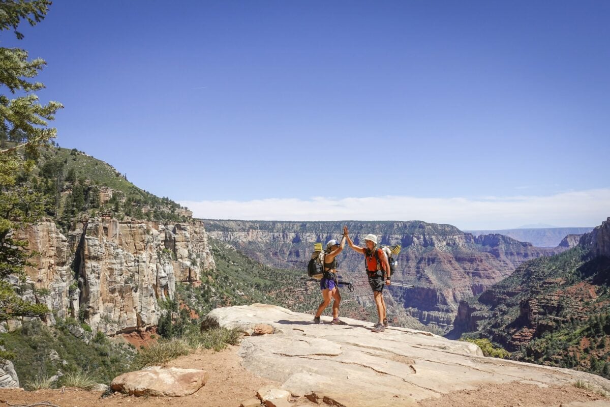
Over 3 days and roughly 24 mi (39 km), you’ll camp beneath the canyon walls, cross the river more than once, and climb back up the other side to the South Rim. Nights cool fast once the sun drops, leaving just you, the group, and a sky full of stars with nothing to block the view.
By the time you’re climbing out, the whole canyon opens up behind you, and you’ll understand exactly why the people who only see it from a viewpoint never get the full picture.
Hiking from North to South Rim is like using a geological time machine: 250-million-year-old strata lying back to back with 1.2 billion-year-old rocks featuring the mighty Colorado river carving through the gorge.
Grand Canyon Rim-to-Rim, Arizona - Good to Know
Challenging
5 days (3 days backpacking)
Steep, rough switchbacks with significant exposure and extreme temperature swings.
Up to 1,524 m (5,000 ft) of vertical descent or ascent per day.
Excellent-fitness hikers ready for backpacking with a loaded pack.
Kanab, Utah.
May through October.
14. West Highland Way, Scotland
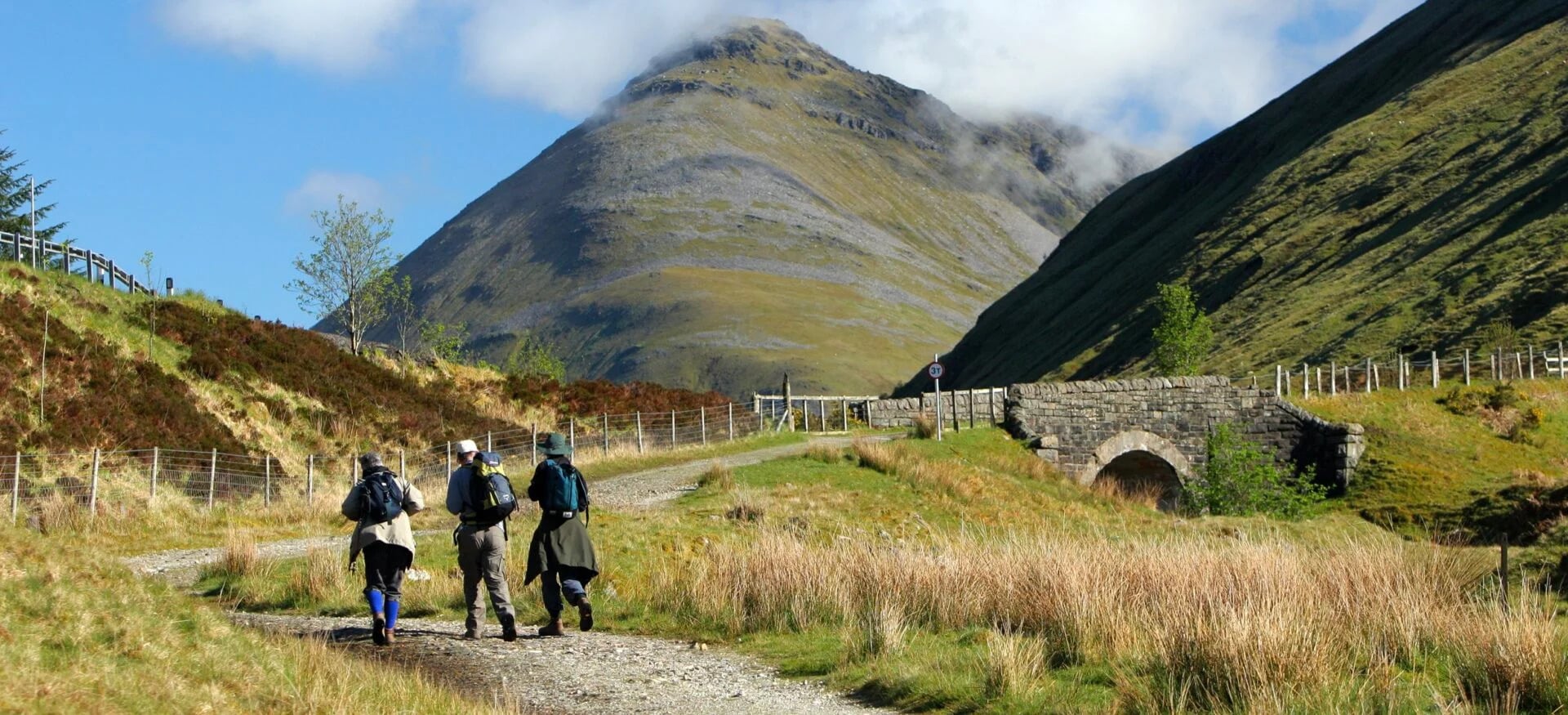
Every night in Scotland on the West Highland Way ends the same good way: boots off, fire lit, a proper Scottish dinner waiting, and if you’re keen, a “wee dram” of whisky to close things out. It’s the kind of trip where the walking is only half the story.
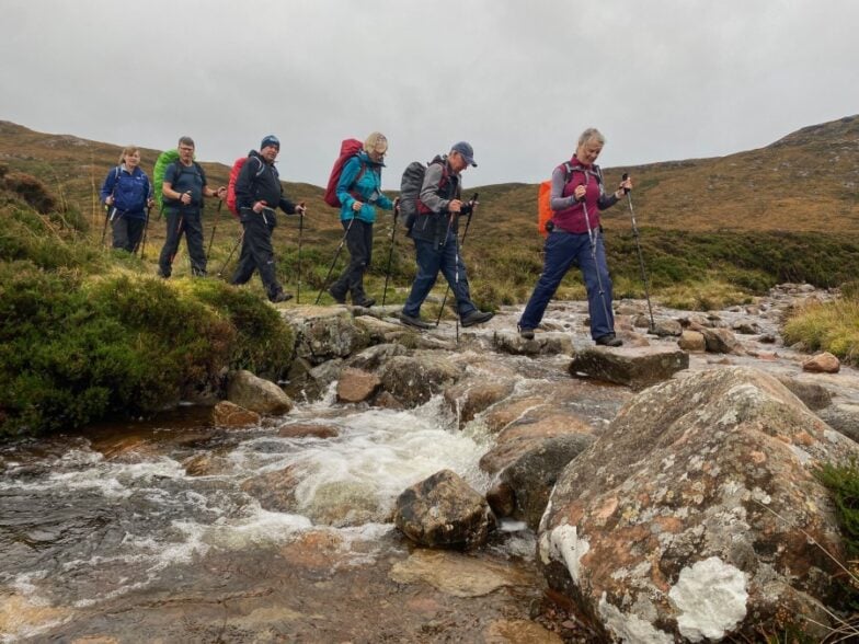
The other half is what you pass through to earn that evening. You’ll cross Rannoch Moor, one of Europe’s last truly wild landscapes, walk the same ground once haunted by the outlaw Rob Roy MacGregor, and spend a night at the Drovers Inn, a 1705 pub with just enough of a reputation for ghosts to make the whisky taste better.
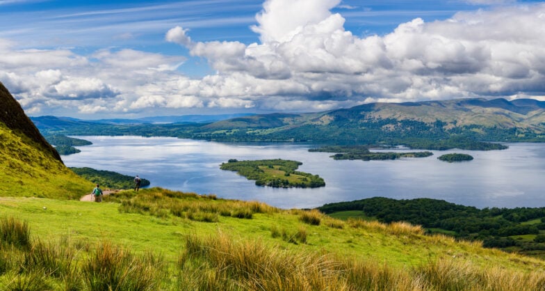
Loch Lomond keeps you company for a good stretch of it, and Glencoe, when you reach it, is the kind of dramatic that photographs never quite capture.
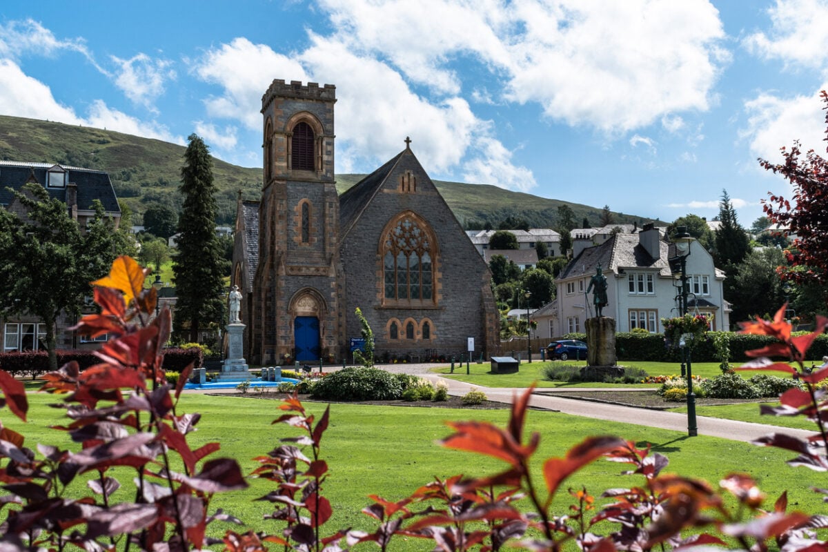
Over 157 km (98 mi) and 9 days, the trail finishes beneath Ben Nevis in Fort William, tired legs and all, having walked through more Scottish history and hospitality than most people manage in a lifetime of visiting. And unlike some of the bigger, more technical treks out there, this one rewards you every single evening, not just at the very end.
The West Highland Way is less a trail and more a walk through time. Stretching 157 km (98 miles) from Milngavie to Fort William, this iconic route threads through jagged peaks, deep lochs, and centuries-old history of Jacobite rebellion, clan feuds, and outlaw legends.
— 57hours in West Highland Way Tour: Hike the Heart of Scotland
West Highland Way, Scotland - Good to Know
Challenging
9 days
Lochside paths, moorland, and one steep zig-zagging ascent (the Devil’s Staircase).
Up to 720 m (2,354 ft) of gain, with a 30.5 km (19 mi) longest day.
Hikers with previous mountain experience and comfort in variable weather.
Milngavie, Scotland.
May through October.
Good-to-Know Info for Hiking the Best Hikes in the World
Planning a trip to hike the best hikes in the world takes more prep than a weekend local trail. Budget, season, fitness level, and permit logistics all vary wildly depending on where you’re headed, so here’s what’s worth knowing before you book flights.
What’s the best season for hiking around the world?
It depends entirely on the hemisphere and the terrain. Northern Hemisphere Alpine trails like the Tour du Mont Blanc and Haute Route are best from late June through September, once snow clears the high passes. Iceland’s hiking season is famously short, running from late June to mid-September. Patagonia flips the calendar entirely: November through March is prime season in the Southern Hemisphere, while New Zealand’s summer runs the same months. Plan around your destination’s actual season, not your own.
What’s the hardest hike on this list?
The O Circuit and the Hidden Trails of Iceland both stand out for sustained difficulty among the best hikes in the world on this list: multiple consecutive days of long mileage with no rest days and limited bailout options. The Grand Canyon Rim-to-Rim packs serious difficulty into a shorter window, with steep elevation change and extreme temperature swings compressed into just 3 backpacking days.
What’s the best hike for a first-time multi-day hiker?
The Pacific Crest Trail trip in Oregon is built specifically for this: a guide teaches backpacking fundamentals as you go, and the beginner route caps daily mileage and elevation gain. The Camino Portuguese is also a gentle entry point, since luggage transfers mean you’re only ever carrying a daypack.
The World’s Best Hikes Are Waiting
That’s our list of the best hikes in the world, but it’s really just a starting point. Every trail here rewards the effort it takes to get there, whether that’s a short flight to Scotland or a long haul to Patagonia.
Pick the one that matches your fitness, your timeline, and the kind of landscape that pulls at you most. The best hikes in the world aren’t the ones that look good in photos, they’re the ones that change how you see the place once you’ve walked it yourself. Lace up, join us, and find out.