
I grew up close enough to the Sierra that it was always just there, sitting on the horizon like a promise I hadn’t cashed in yet. My first overnight trip was a week-long crossing to Mount Whitney back in middle school, and I still remember every mile of it. That trip planted something in me that never really left.
I finished hiking the John Muir Trail in 1997, Yosemite to Mount Whitney, 211 mi (340 km) end to end, and it remains one of the things I’m most proud of. If you have done it, or you are planning to, that pride is earned. It is an extraordinary piece of wilderness.
But here is the thing I have learned after two decades of guiding people through this range. Hiking the John Muir Trail is only one way into the Central Sierra, and it is now the most crowded one.
There is a whole world sitting just off the trail that almost nobody visits, and getting there does not require you to hike a hundred miles first.
What is the John Muir Trail?
The John Muir Trail runs roughly 211 mi (340 km) through the heart of the Sierra Nevada, from Happy Isles in Yosemite Valley south to the summit of Mount Whitney. It shares most of its footpath with the Pacific Crest Trail. Elevations along the way swing from about 4,000 ft (1,220 m) near Yosemite Valley up to 14,505 ft (4,421 m) at the Whitney summit.
I love hiking the John Muir Trail. The scenery is relentless, the trail systems are well maintained, and there is a real sense of community out there among people chasing the same goal. But it is also heavily trafficked, and the wilderness permit system has gotten tough enough that a lot of hopeful thru-hikers never get the dates they want.
That crowding is exactly why I started looking sideways instead of just north to south.
How long does it take to hike the John Muir Trail?
Most thru-hikers take two to three weeks to hike the John Muir Trail end to end, though ambitious hikers with strong trail legs have done it faster.
Backpacking it in sections, a week at a time, is common too. I did my own crossing in about a week when I was younger and fitter than I am now, which I do not necessarily recommend as the pace for everyone.
200 mi (320 km) most people never see
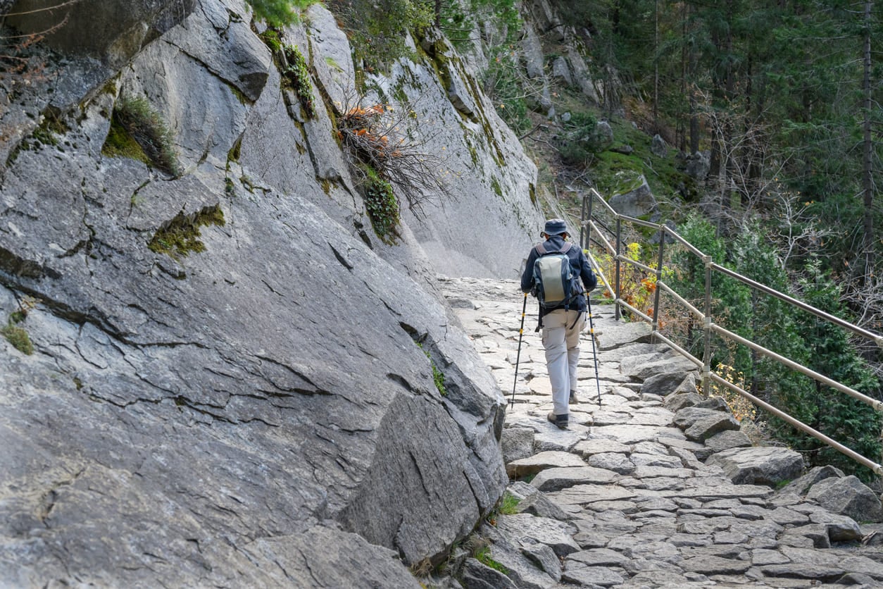
Here is something that surprises almost everyone I talk to. To cross the Sierra by car, you really only have two options. One road goes north through Yosemite. Another goes south near Lake Isabella, close to Bakersfield.
In between those two roads sits roughly 200 mi (320 km) of uninterrupted wilderness. No roads cross it, and this is the Central Sierra I show people once they’re done hiking the John Muir Trail, or instead of it.
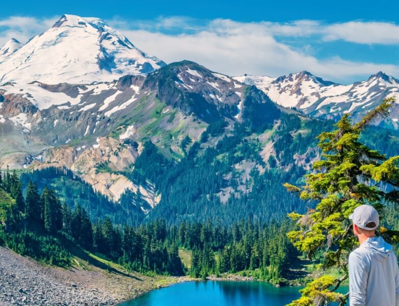
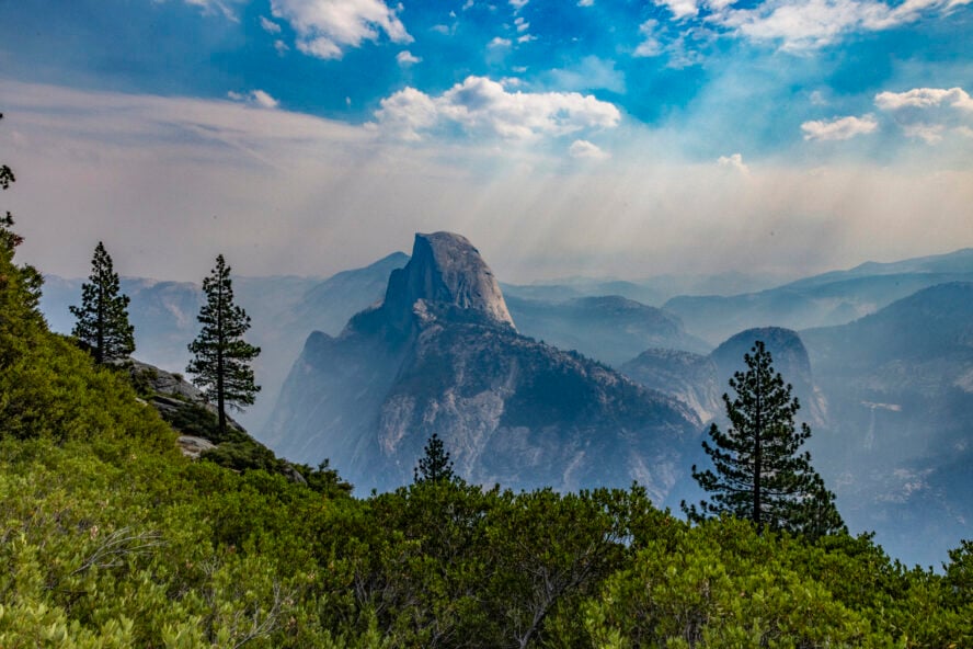
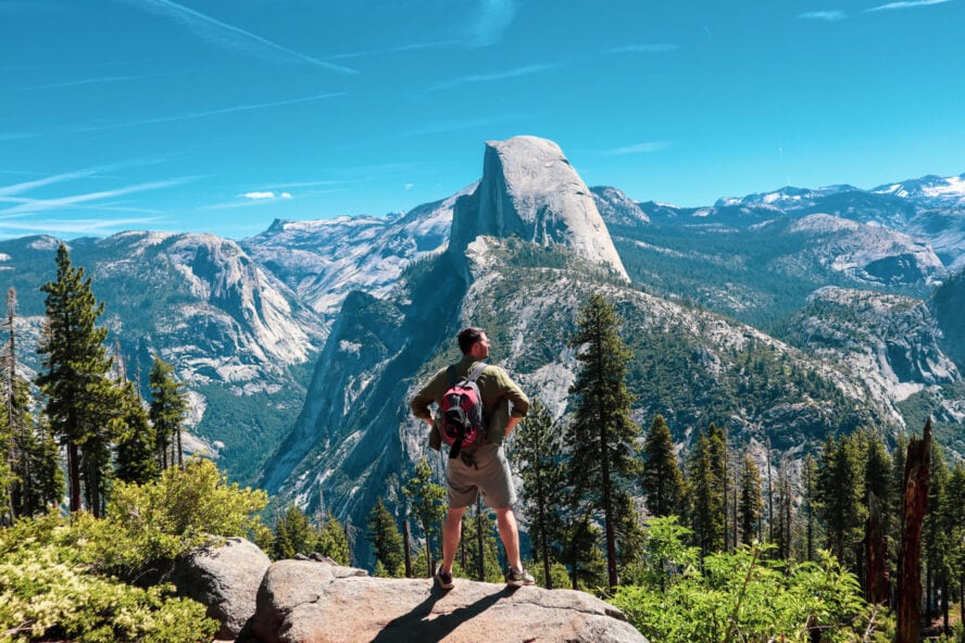
Most people picture Sierra backpacking as something like the hike to Half Dome, roughly 8 mi (13 km) up and 8 mi (13 km) back, with huge views into Yosemite Valley at the top. It is a beautiful hike, and it is also a packed one on any given summer day, especially since the park introduced its permit system for the cables.
At the other bookend of the trail sits Mount Whitney, the highest peak in the contiguous United States at 14,505 ft (4,421 m). Some people summit it in a single brutal day, others take two or three. Looking west from the top, you can see clear across to the Kaweah Range and the Great Western Divide, with the Kern Canyon dropping away below.
It is a happening place on a clear summer morning, which is another way of saying it gets crowded too.
How long does it take to hike Mount Whitney?
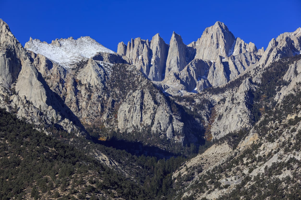
Most hikers summiting Mount Whitney from Whitney Portal complete the round trip in a single very long day, typically 10 to 15 hours covering about 22 mi (35 km) round trip.
Many others prefer to split it into two or three days, camping partway up to acclimate to the altitude. I have guided groups on both timelines, and the extra day almost always makes for a better summit.
Finding the secret road into the Sierra
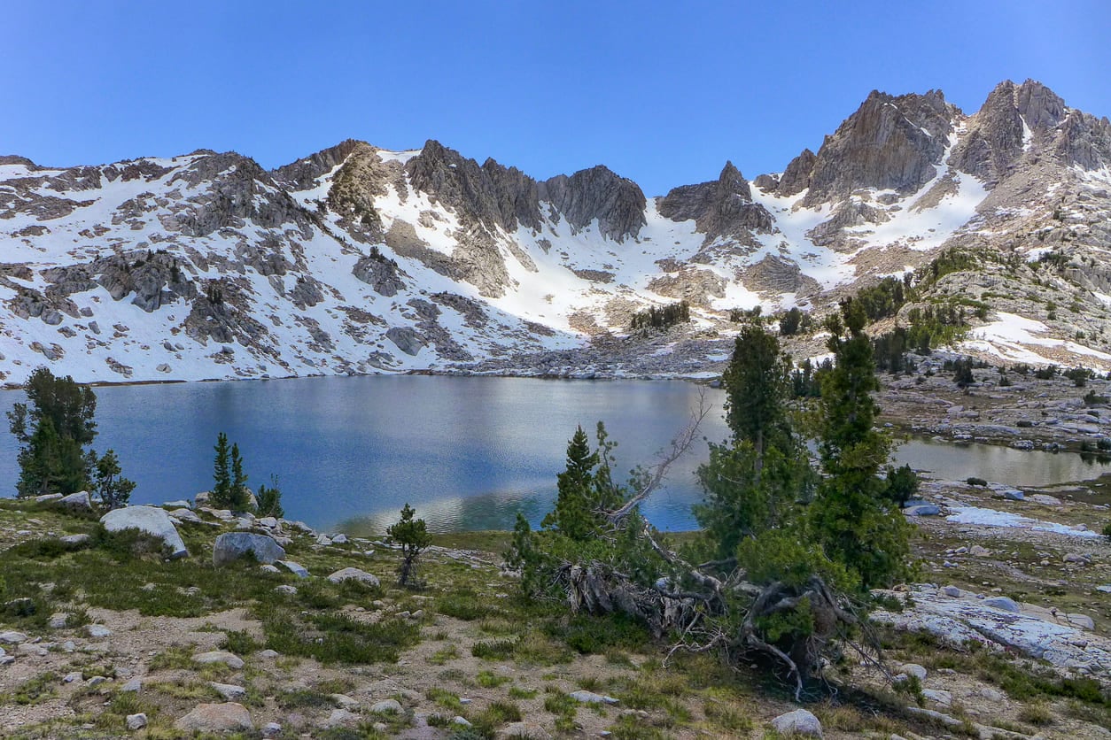
So here is what I want to let you in on. Most people think there are only two ways to access the Sierra: the road north through Yosemite, or the road south near Bakersfield. There is a third option that almost nobody outside the local area knows about.
It is called Highway 168, and it runs directly from the Fresno-Clovis area into the heart of the range. This road is one of the best-kept secrets for backpacking in California, and it puts you within striking distance of the John Muir Trail without the long approach hikes everyone else has to do.
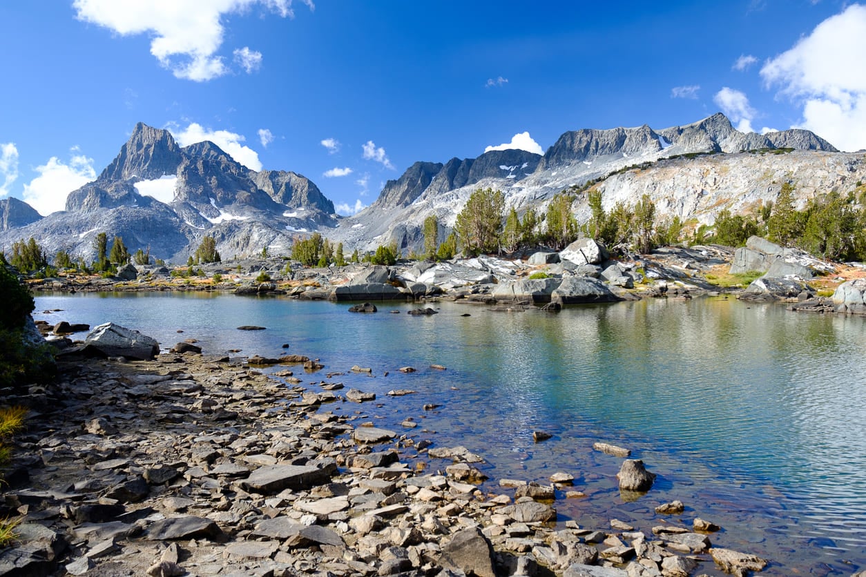
Highway 168 stretches roughly 90 mi (145 km) from Fresno-Clovis back to Edison Lake and Florence Lake, where the pavement runs out. The seasonal sections typically open by mid-May, later in big snow years. Along the way you pass through the San Joaquin River drainage, with views of Mount Banner and Mount Ritter near the Ansel Adams Wilderness.
Hidden stops along the way
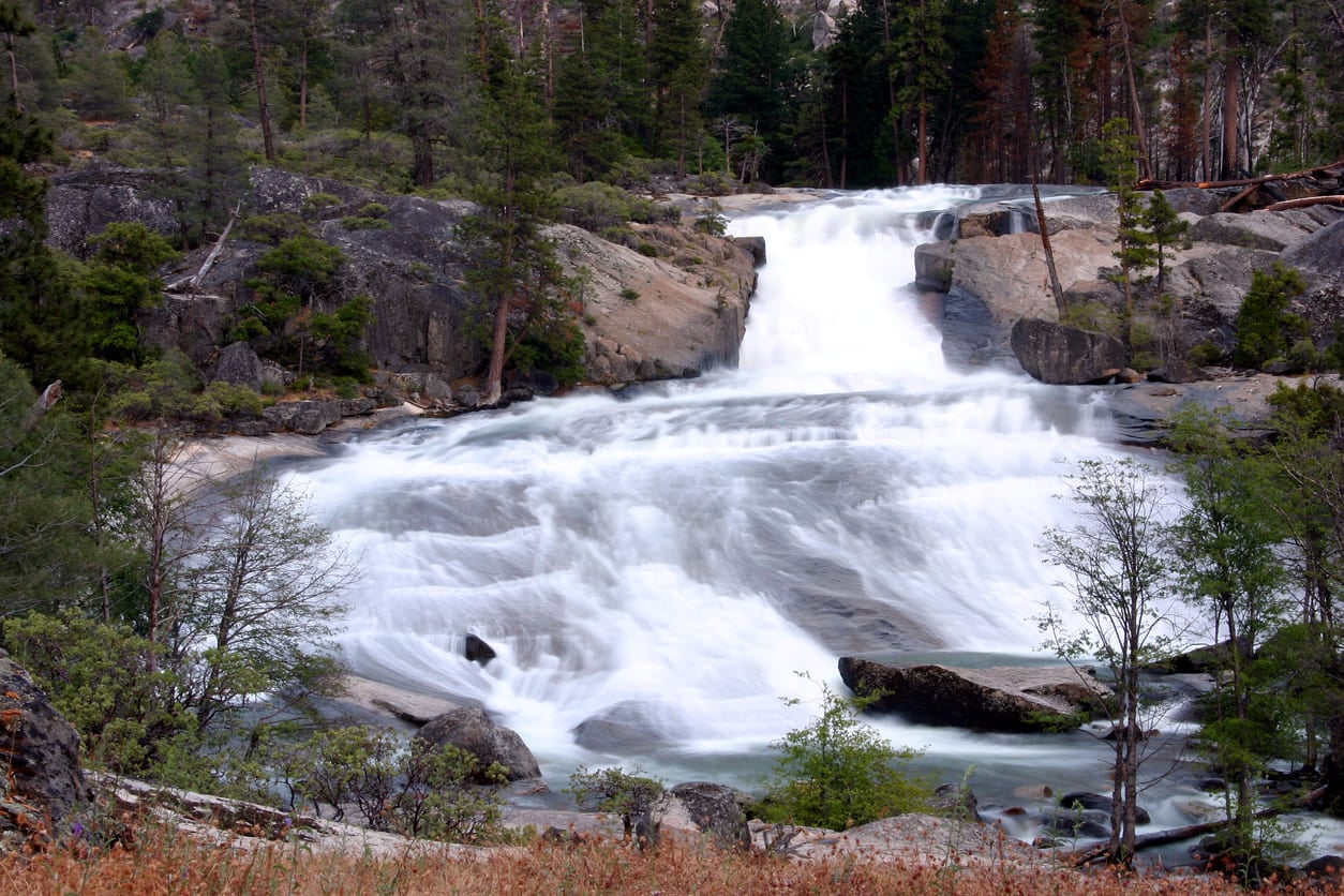
A few spots along Highway 168 make for great family day trips even if you never touch a backcountry permit. Rancheria Falls sits just 1 to 2 mi (1.6 to 3.2 km) off the road, an easy hike to a genuinely beautiful waterfall. McKinley Grove is a small, quiet stand of giant sequoias where you can walk right up and touch the trees.
That kind of access is a far more personal experience than the crowds you will find in Yosemite or Sequoia and Kings Canyon. Mono Hot Springs sits near Edison Lake, a scattered series of natural hot springs you can explore in their raw, undeveloped state.
I like sending first-time visitors here before they commit to anything bigger. It gives people a feel for the range without demanding much of them. Some hikers move fast and wait for the group at checkpoints, others take their time, and watching someone find their pace out here is a huge joy.
Three levels of Sierra wilderness
After years of guiding out here, I think about the backcountry in three tiers. I call them wilderness, Wilderness, and oh-my-gosh-wilderness, which is only half a joke. Each one asks something different of you.
Beginner-friendly wilderness
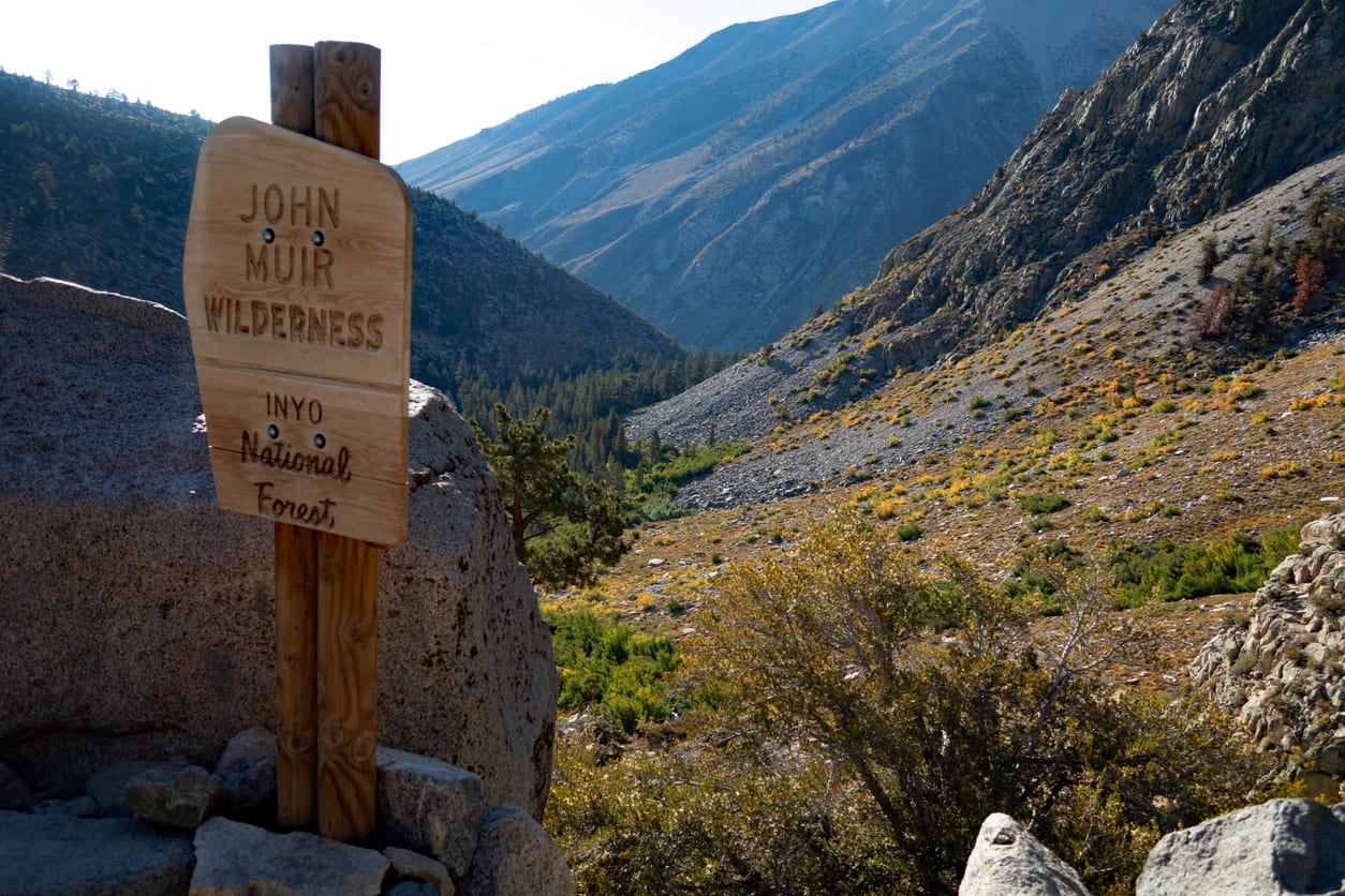
This is where I send people planning their first solo backpacking trip (often before they’ve committed to hiking the John Muir Trail itself), or families looking for a manageable overnight. Kaiser Wilderness and Dinkey Lakes Wilderness both fit here, with elevations generally running 7,000 to 10,000 ft (2,130 to 3,050 m). Good trails, strong fishing, few crowds, and reasonably quick access back to the car if plans change.
Kaiser Wilderness, accessed from Huntington Lake, holds gems like George Lake, where you will likely have the entire shoreline to yourself. Dinkey Lakes Wilderness, reached from Shaver Lake or Courtright Reservoir, is dotted with enough small alpine lakes that you could string together a 30 mi (48 km) loop and hit ten different ones without repeating a campsite.
John Muir Trail-adjacent wilderness
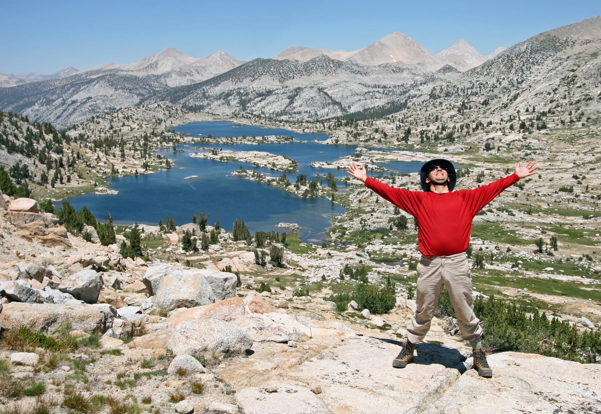
This tier sits a day’s travel deeper into the range, using Edison Lake and Florence Lake as your main access points. From here you can reach the John Muir Trail itself and explore the country just off of it, including a genuine highlight called Evolution Valley. A ferry actually crosses the lake to your trailhead, which still feels a little surreal the first time you do it.
One of my favorite side trips from here is Mott Lake, about 15 mi (24 km) round trip from Edison Lake. You could also link a 30 to 40 mi (48 to 64 km) loop hiking the John Muir Trail itself, passing places like Lake Marie near Selden Pass. This is a genuine alternative to John Muir Trail thru-hiking if you want the flavor without the full commitment.
Deep wilderness, off-trail
This is where I spend most of my own time, and where things get genuinely remote. You are now one or two days removed from the trail, often traveling 4 to 10 mi (6.5 to 16 km) off any established path. Wishon Reservoir and Courtright Reservoir are the main jumping-off points here.
Off-trail hiking out here demands more from you. There is less access to help if something goes wrong, and you need to be honest with yourself about your navigation skills before you commit.
The payoff is real solitude in some of the most striking terrain in the entire range, and honestly some of the best hiking trails in California if you are willing to leave the trail behind entirely.
Red Mountain and the LeConte Divide
If I had to put a pin in one spot that captures everything I love about this part of the Sierra, it would be Red Mountain. It sits at roughly 12,000 ft (3,660 m) on the LeConte Divide, just a short distance beyond the trail near Evolution Valley, and it sees maybe fifty visitors a year if that.
Standing on top of Red Mountain, you get one of the widest views in the entire Sierra, looking straight down into Goddard Canyon. I always say the whole mountain feels like it belongs to whoever happens to be standing there that day, because usually nobody else is. It is one of the best hiking trails near Yosemite National Park that almost nobody outside a small circle of backpackers has ever heard of.
I like to think of the LeConte Divide as a kind of playground for people who already know how to move through Sierra wilderness confidently. Red Mountain Basin, Bench Valley, and Blackcap Basin all sit along it, each with its own scattering of alpine lakes. Mount Goddard rises up behind the whole scene, tall enough that you can actually pick out its summit from Highway 99 on a clear day if you know where to look.
Getting a permit for these areas
Most overnight trips into these wilderness areas, including Kaiser, Dinkey Lakes, and John Muir Wilderness, require Sierra wilderness permits, and trailhead quotas apply even outside peak season.
I always tell people to check with the relevant ranger district well ahead of their trip. Quotas can fill up faster than you would expect, even in areas that see very little foot traffic overall.
Off the beaten path: Hell For Sure and Tehipite
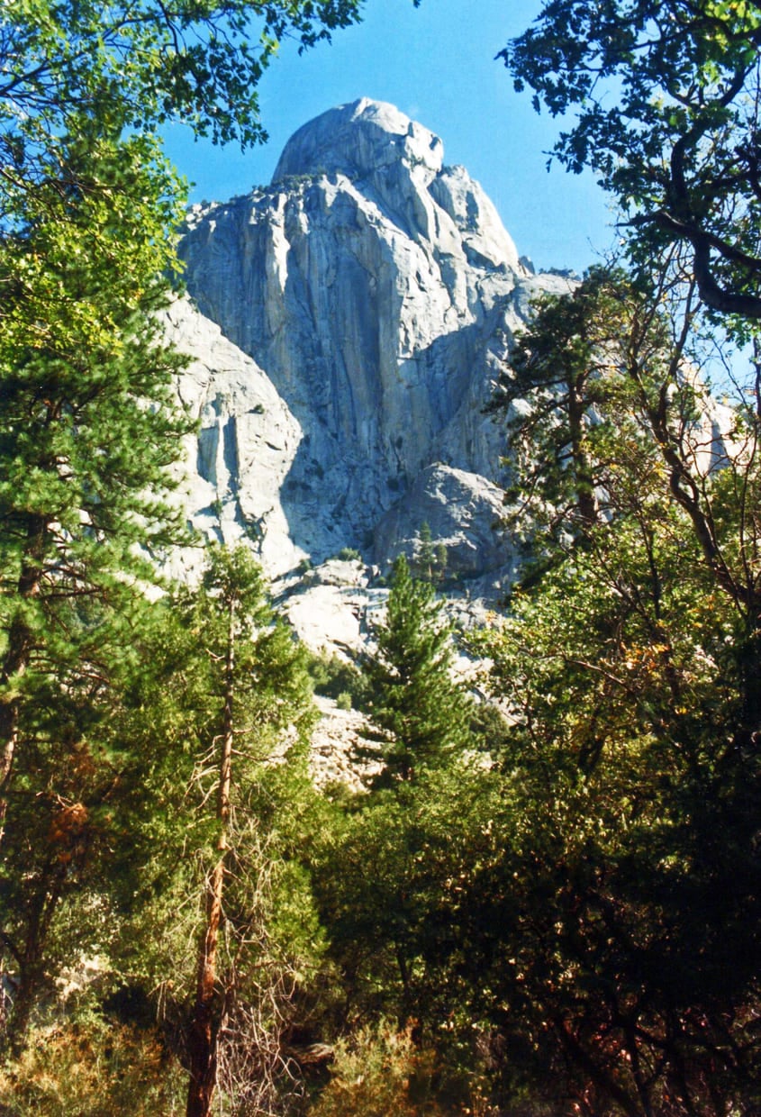
Some of my favorite memories out here come from places that barely show up in guidebooks. Hell For Sure Lake sits in John Muir Wilderness, not far from the Kings Canyon National Park boundary, and it is exactly the kind of spot I mean when I talk about hiking off the beaten path. Getting there involves real off-trail travel, but the lake itself is worth every step.
Then there is Tehipite Valley, which might be the single best-kept secret in the entire Sierra. It looks a little like Yosemite Valley, except there is almost nobody there. The valley is watched over by Tehipite Dome, the largest granite dome in the entire Sierra, rising about 3,500 ft (1,070 m) straight up from the valley floor.
I remember the first time someone described Tehipite to me, and I had genuinely never heard of it before. Neither had most experienced backpackers I later asked, some of whom had spent twenty-five years hiking this range. That kind of obscurity, sitting this close to some of the most photographed terrain in the country, is rare and worth protecting.
Mount Goddard and the Ionian Basin
Mount Goddard is another personal favorite, and from its summit you can pick out nearly every major High Sierra peak worth naming. The route in is more demanding, with elevation running from about 8,000 ft (2,440 m) up to 13,500 ft (4,115 m) and some serious ups and downs along the way.
Just below Goddard sits Martha Lake, a rugged off-trail destination known for enormous golden trout if fishing is your thing. Nearby, the Ionian Basin is about as remote as this range gets, completely off-trail and largely unknown even among people who consider themselves serious Sierra hikers.
Gear and logistics for going deep
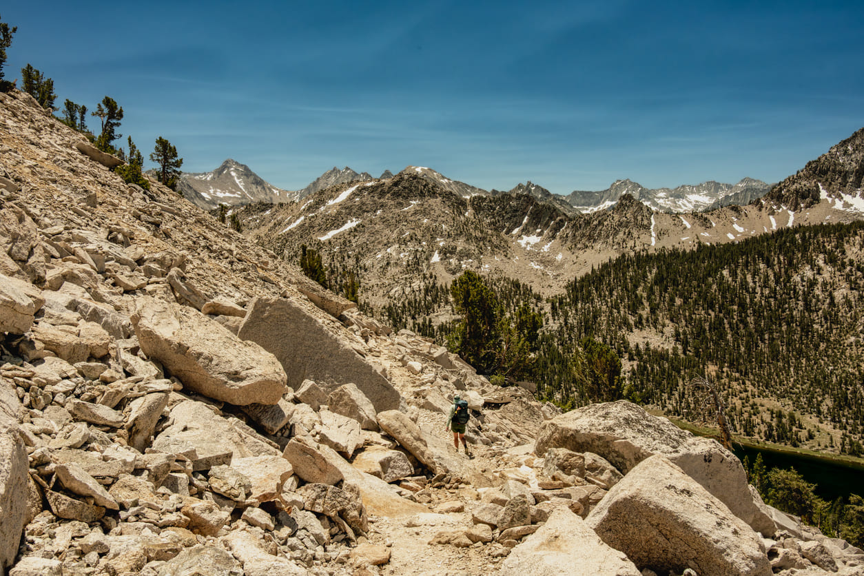
For trips like these, whether it’s hiking the John Muir Trail itself or going off it entirely, I try to keep gear simple and food excellent, which might sound backwards to some backpackers. We do not run on prepackaged meals. Everyone typically carries a pack in the 35 to 40 lb (16 to 18 kg) range fully loaded, including a bear canister, food, and a share of group gear like fuel canisters.
If you are planning this yourself, aim for a backpack with at least 60 L (3,660 cubic in) of capacity for multi-night trips. A sleeping bag rated to 20°F (-7°C) or warmer covers most conditions you will encounter. Trail runners have become the standard footwear out here, mostly because of how many stream crossings you will hit, though sturdy boots work fine if that is what you trust.
We also carry two-way satellite messaging devices for emergency communication, since cell coverage does not exist in most of this terrain. Leave no trace practices matter even more out here than in busier parks. This corner of Sierra Nevada wilderness stays pristine only because so few people visit it, and I would like to keep it that way.
The map most people are missing
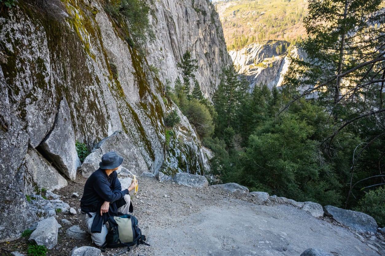
Every hiker I meet who has done the John Muir Trail describes the same two access points. North through Yosemite, south near Bakersfield, and nothing in between except a green blur on the map labeled wilderness. That blur is where I have built my whole career.
Highway 168 is not a secret because someone is hiding it. It is a secret because almost nobody thinks to ask whether a third road even exists.
Once you know it is there, the entire Central Sierra opens up differently: Red Mountain becomes a weekend, Tehipite Valley becomes a real possibility, and Sierra Nevada backpacking stops being limited to whatever permit you managed to draw for the crowded stretch of trail everyone else is fighting over.
About 30 percent of the people I guide are on their first overnight backpacking trip of their lives. Most of them found their way to me by asking a version of the same question: is there a way into this range that does not require months of planning or a lottery permit. There usually is, and it usually starts at a reservoir most Californians have never heard of.
If your goal has always been hiking the John Muir Trail start to finish, that goal is worth keeping. It is one of the great trails in the world, and finishing it changed the direction of my own life.
But the next time you pull up a map of the Sierra, look past the two roads everyone knows about. There is a third one. It does not care whether you have a permit, and it goes somewhere better.
I’ve got a lot more of this range to show you. Let’s start with the road less mapped.