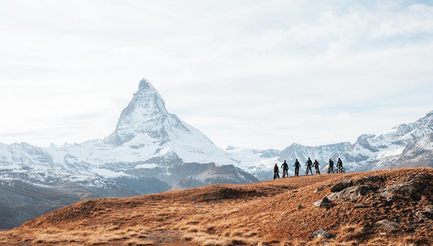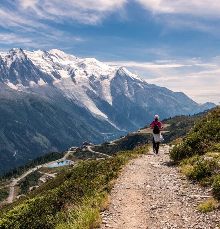
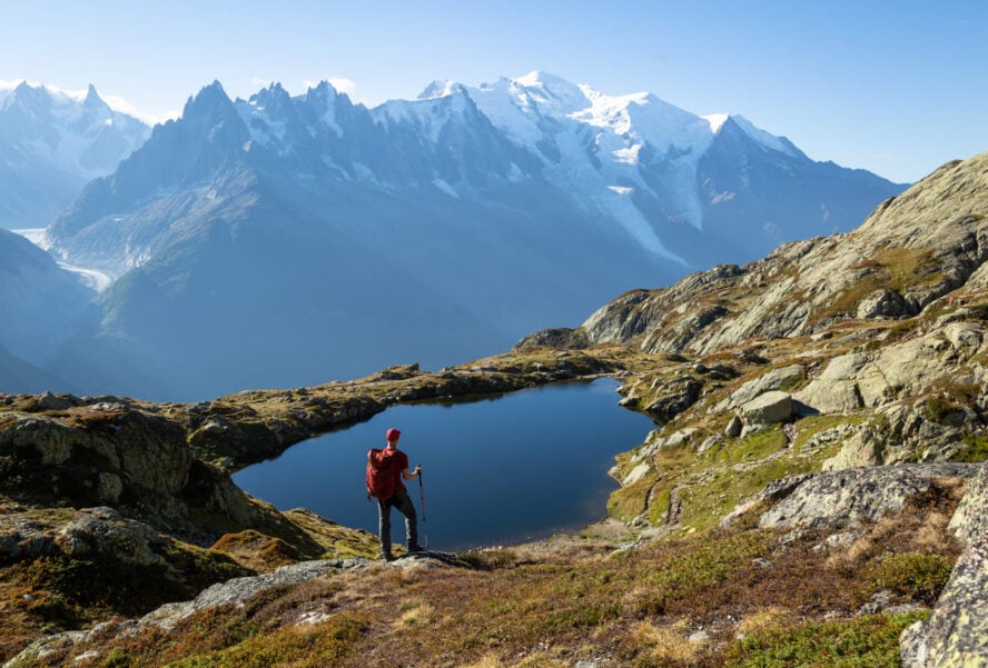
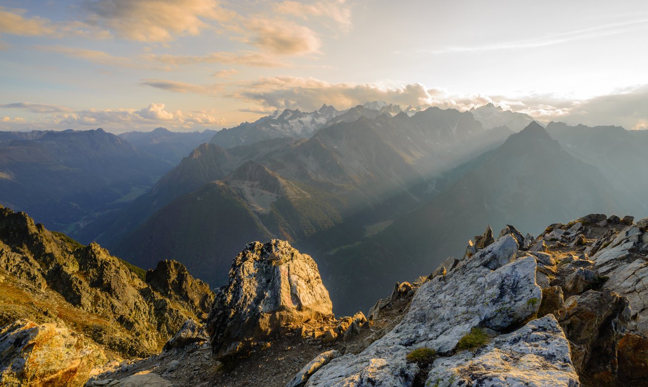
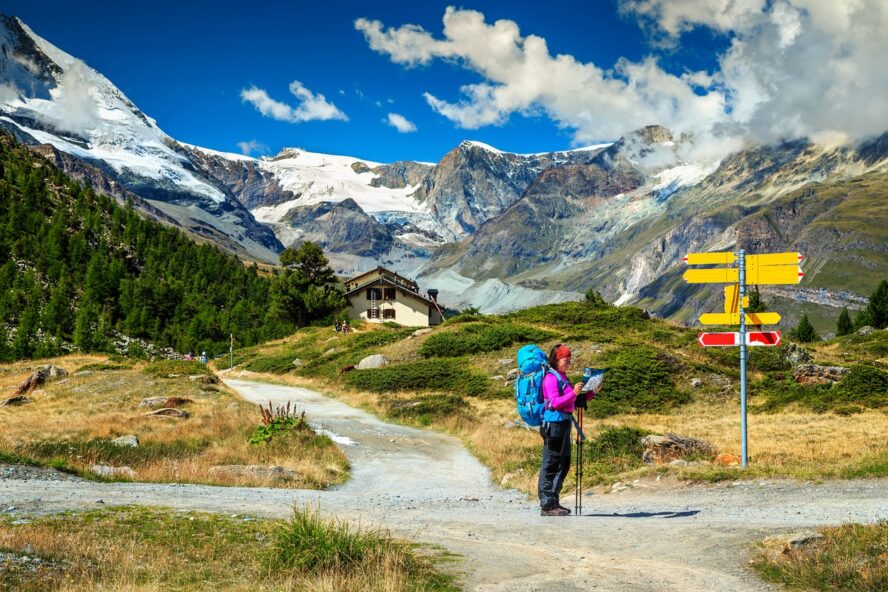
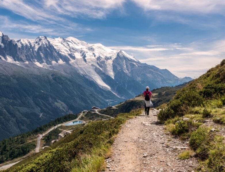
The Alps stretch out in a wild dance of glaciers and peaks. There’s no one around, and the only sound is your boots crunching on scree and distant cowbells echoing from the valley below. That’s the raw magic of the Walker’s Haute Route, a trail that’s as tough and solemn as it is breathtaking.
Is it your first multi-day hike or a worthy follow-up to the Tour du Mont Blanc? From daily itineraries to fitness tips and FAQs, we’ll cover everything you need to conquer this alpine beast. Let’s hit it.
What is the Walker’s Haute Route?
The Walker’s Haute Route is a legendary 180-kilometer (112-mile) trek from Chamonix, France, to Zermatt, Switzerland, that slices through the most dramatic sections of the Alps.
With over 12,000 meters (39,370 feet) of elevation gain, it’s a high-altitude adventure packed with glacier views, rugged passes, and quaint Swiss villages.
Unlike the Tour du Mont Blanc, which is a loop trail, the Walker’s Haute Route is linear. It takes you from Mont Blanc’s shadow to Zermatt right below the Matterhorn, along a blend of moderate forest walks with tough scrambles over cols.
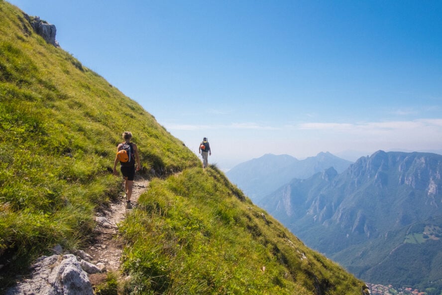
If you’re fit, experienced, and want a deeper dive into the Alps, the Haute Route is perfect for you. It’s wilder than many European classics, with its fair share of exposed sections that demand confidence. However, the infrastructure makes it almost as accessible as the TMB.


Walker’s Haute Route vs. Tour du Mont Blanc
The Tour du Mont Blanc (TMB) and the Walker’s Haute Route are both alpine heavyweights, but they’re built for different audiences.
The Walker’s Haute Route stretches 180 km (112 miles) with 12,000 m (39,370 ft) of elevation gain. It dives deep into Switzerland’s rugged valleys and high cols.
The Tour du Mont Blanc loops 170 km (106 miles) around Mont Blanc through France, Italy, and Switzerland, with 10,000 m (32,808 ft) gain. It’s more of a multi-country cultural mix with more villages and amenities.
If you’re a less seasoned hiker, more into the cultural immersion element, and don’t mind sharing the trail, go with the Tour du Mont Blanc. If you’re fit, experienced, and want a wilder, lonelier, more immersive experience, plus you don’t mind fewer amenities, go for the Haute Route.
Why more and more people are choosing the Walker’s Haute Route
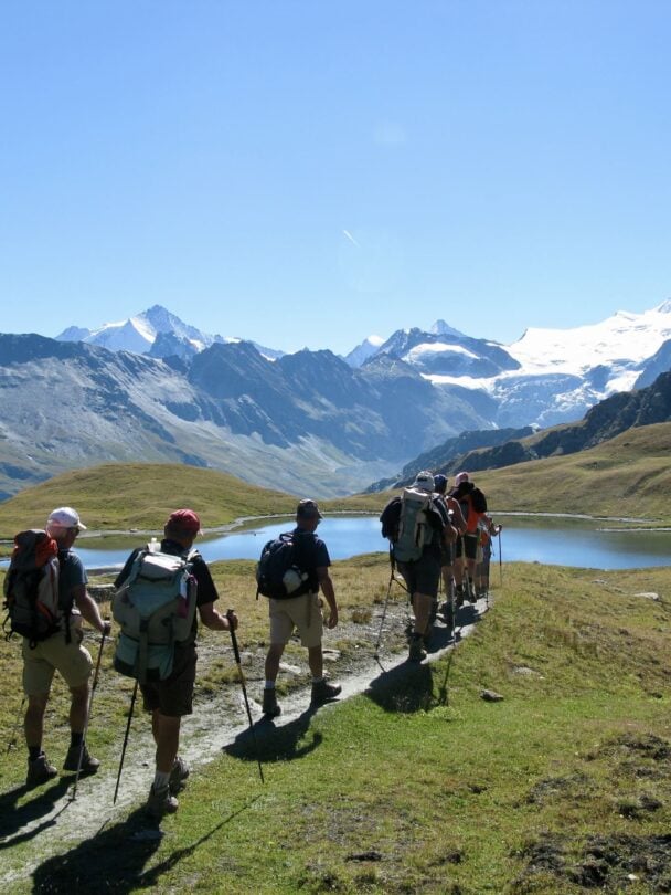
The Walker’s Haute Route is getting more and more popular as hikers are looking to dodge the Tour du Mont Blanc’s crowds. After all, an estimated 20,000 people hike the TMB every year. There’s no official tracking for the Haute Route, but trust us, it’s a much lower number.
The Haute Route offers similar alpine grandeur but with much quieter sections, where you can really soak in the views without elbowing through groups. Many TMB veterans often pick it next.
It’s a tougher challenge, with steeper climbs and some exposed sections. The Haute Route delivers a raw “I conquered the Alps” feeling that many hikers won’t get with the classic Tour du Mont Blanc.
How long is the Walker’s Haute Route?
The Walker’s Haute Route clocks in at about 180 km (112 miles). It’s a linear trail with roughly 12,000 m (39,370 ft) of ascent and similar descent.
Most hikers take 9-14 days, depending on fitness and rest stops. Daily stages average 12-18 km (7.5-11 miles), depending on how much time you want to savor views or grab a rosti in a village.
Compared to the Tour du Mont Blanc’s 170 km, it’s a touch longer and feels more remote, with fewer resupply points. Fit hikers can crush it in 9-10 days by combining stages, while a relaxed pace with rest days could stretch to two weeks.
The weather is also more of a factor than on the Tour du Mont Blanc. Spring snow can really slow you down, but summer’s long days are good to keep you moving.
Where does the Walker’s Haute Route start and end?
The Walker’s Haute Route kicks off in Chamonix at the base of Mont Blanc, the birthplace of alpine climbing. Here, you can gear up in outdoor shops and soak in the mountain vibe before starting from Argentière or Montroc.
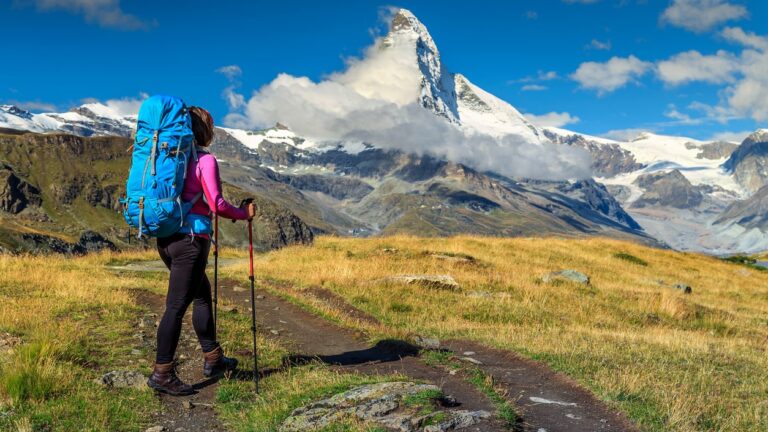
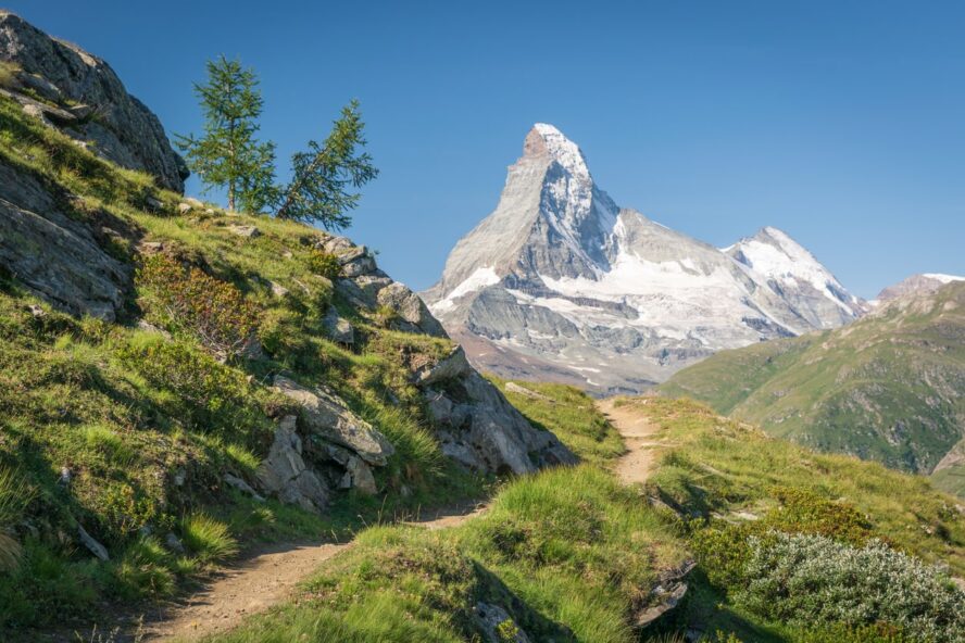
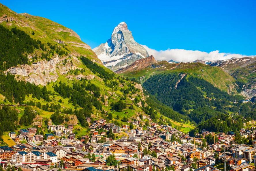
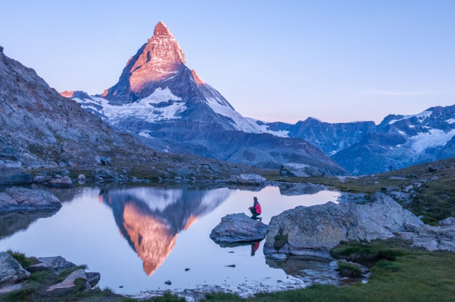
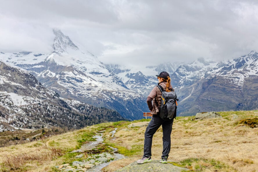
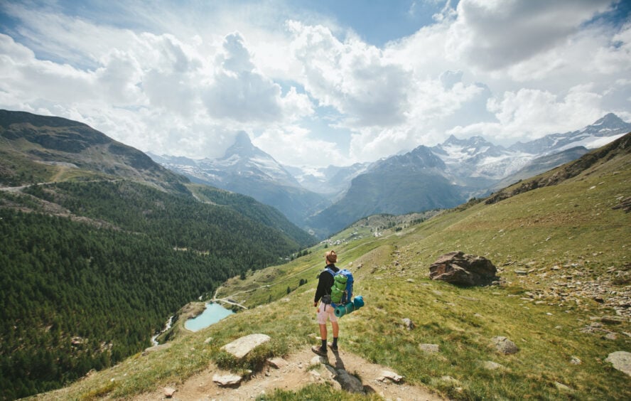
It wraps up in Zermatt, a car-free gem under the Matterhorn, where we recommend celebrating with fondue and epic views.
Getting to Chamonix is easy; you fly to Geneva Airport and hop a 1-hour bus (€15-20). From Zermatt, trains link to Geneva or Zurich (3-4 hours, €50-80). The linear route means you will need to plan your return, but guides can arrange transfers to make it seamless.
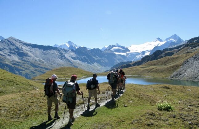
Classic Walker’s Haute Route Itinerary
This 12-day itinerary is a classic way to tackle the Walker’s Haute Route, but it’s not set in stone.
With variations, you can tweak for fitness or weather. For example, you could head to Forclaz instead of Trient on Day 1 for a shorter climb or add a rest day in Verbier.
Distances and elevations are approximate, based on moderate pacing (5-8 hours/day). Here’s the breakdown, with must-see spots (and food stops).
Day 1: Chamonix – Trient
Start with a 15 km (9.3 miles) trek, gaining 1,200 m (3,937 ft) from Chamonix to Trient via Col de Balme (2,191 m/7,188 ft).
You’ll climb through pine forests along plenty of Mont Blanc viewpoints, crossing into Switzerland. Highlights: Col de Balme’s panoramic ridge and cowbell-filled meadows.
Must-visit: Refuge du Col de Balme for a coffee with a view. In Trient, cozy inns like Auberge Mont-Blanc serve creamy fondue to refuel.
Time: 6-7 hours.
Day 2: Trient – Champex
Cover 16 km (10 miles), gaining 800 m (2,625 ft) through lush forests to Champex-Lac, a postcard-perfect village. Take the Bovine variant for gentler meadows or Fenêtre d’Arpette for a tougher climb with glacier views.
Highlights: Champex Lake’s turquoise waters, ideal for a quick swim.
Must-visit: Café du Mont Blanc for rosti with local cheese.
Time: 5-6 hours.
Day 3: Champex – Le Châble
Hike 14 km (8.7 miles), descending 900 m (2,953 ft) into the Verbier Valley. This easier day winds through orchards and hamlets.
Highlights: Orsières’ quaint church and apple orchards.
Must-visit: Sembrancher’s Fromagerie for Valais cheese tasting. Le Châble’s bistros pair local wines with hearty soups.
Time: 4-5 hours.
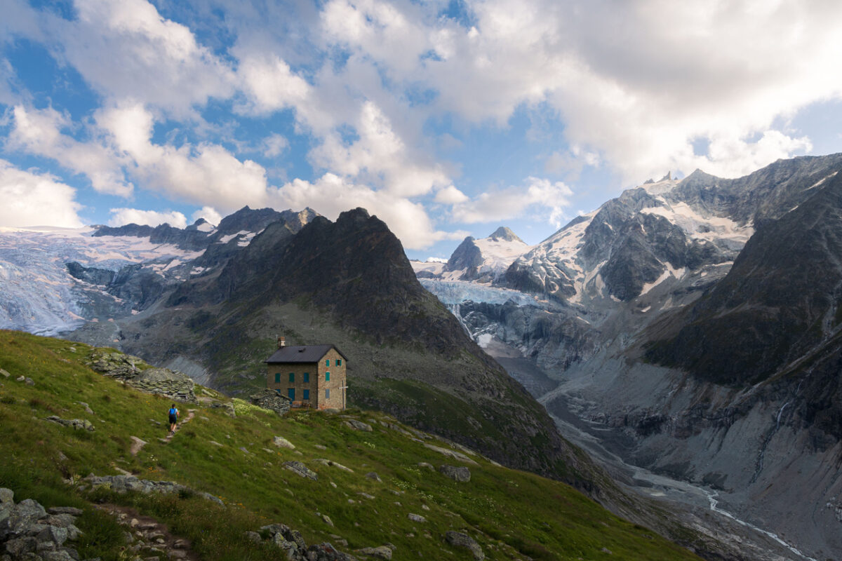
Day 4: Le Châble – Cabane du Mont Fort
Ascend 12 km (7.5 miles) with 1,400 m (4,593 ft) gain to Cabane du Mont Fort (2,457 m/8,061 ft). The climb’s steep but rewards with Verbier’s sweeping views.
Highlights: Mont Fort’s ridge-line vistas.
Must-visit: Ruinette viewpoint for photos. The hut’s stews and fresh bread hit the spot.
Time: 6-7 hours.
Day 5: Cabane du Mont Fort – Cabane de Prafleuri
Trek 15 km (9.3 miles), gaining 1,000 m (3,281 ft) over Col de la Chaux and Col de Louvie. Expect rocky paths and glacier glimpses.
Highlights: Lac des Dix’s shimmering waters.
Must-visit: Col de Prafleuri for 360-degree views. Cabane de Prafleuri’s raclette is a cheesy delight.
Time: 7 hours.
Day 6: Cabane de Prafleuri – Arolla
Descend 14 km (8.7 miles) with 700 m (2,297 ft) gain to Arolla, a quiet village. You’ll skirt glaciers and alpine streams.
Highlights: Arolla Glacier’s icy beauty.
Must-visit: Lac Bleu for a serene picnic. Arolla’s Hotel du Glacier serves legendary fondue.
Time: 5-6 hours.

Day 7: Arolla – La Sage
An easy 10 km (6.2 miles) with 400 m (1,312 ft) gain to La Sage, perfect for recovery. Wander through meadows and hamlets.
Highlights: Euseigne’s quirky rock pyramids.
Must-visit: Evolène’s craft shops. La Sage’s inns offer local meats and wines.
Time: 4 hours.
Day 8: La Sage – Cabane de Moiry
Climb 12 km (7.5 miles), gaining 1,200 m (3,937 ft) to Cabane de Moiry (2,825 m/9,268 ft). The ascent’s tough but stuns with glacier views.
Highlights: Lac de Moiry’s turquoise glow.
Must-visit: Col de Tsaté for epic photos. The hut’s polenta dishes warm you up.
Time: 6 hours.
Day 9: Cabane de Moiry – Zinal
Descend 15 km (9.3 miles) with 800 m (2,625 ft) gain to Zinal. The trail hugs the Moiry Glacier.
Highlights: Corne de Sorebois’ sweeping views.
Must-visit: Zinal’s old wooden chalets. Local eateries serve rich Swiss soups.
Time: 5-6 hours.
Day 10: Zinal – Gruben
Tackle 17 km (10.6 miles) with 1,000 m (3,281 ft) gain over Forcletta pass. The trail shifts to German-speaking valleys.
Highlights: Meidpass’s alpine serenity.
Must-visit: Gruben’s tiny church. Local inns offer hearty roasts. Time: 7 hours.
Day 11: Gruben – St. Niklaus
Hike 15 km (9.3 miles) with 900 m (2,953 ft) gain to Augstbordpass. The Mattertal opens up below.
Highlights: Jungu’s rustic hamlet.
Must-visit: Augstbordhorn for views. St. Niklaus’s guesthouses serve fresh pastries.
Time: 6 hours.
Day 12: St. Niklaus – Zermatt
Finish with 20 km (12.4 miles), descending 1,000 m (3,281 ft) to Zermatt. The Matterhorn looms closer.
Highlights: Europaweg’s suspension bridge.
Must-visit: Zermatt’s Matterhorn Museum. Celebrate with fondue at Zum See.
Time: 6-7 hours.
How fit do I need to be to hike the Walker’s Haute Route?
The Walker’s Haute Route demands solid fitness to overcome its 12,000 meters (39,370 feet) of elevation gain across 180 km (112 miles). Expect 5-8-hour hiking days with 800-1,200 m (2,625-3,937 ft) climbs.
It’s tougher than the Tour du Mont Blanc due to steeper, more exposed sections like Fenêtre d’Arpette, so stamina and leg strength are crucial.
How do I train for the Walker’s Haute Route?
Start training 3-6 months out with hill walks carrying a 10-15kg pack to mimic trail conditions. local hikes with 500-1,000 m gain are perfect. Add strength exercises like squats, lunges, and core work to handle rocky descents and long days. Cardio, such as trail running or cycling, boosts endurance for back-to-back stages.
Beginners can manage with consistent prep. Try 2-3 weekly hikes, building to 15-20 km (9-12 miles) with elevation. Experienced hikers will find it challenging but doable, especially if you’ve tackled similar trails.
Mental toughness counts too; expect fatigue, but the views will keep you going.
If you’re unsure, go with a guide. They’ll assess your fitness and tailor pacing, so you’re not burning out on day three. Test your readiness with a multi-day hike before committing, and you’ll be set to crush it.
Could I do the Walker’s Haute Route in less than 12 days?
Yup, fit hikers can absolutely trim the Walker’s Haute Route to 9-10 days. However, it’s a bold move that needs planning and stamina.
By combining stages, like pushing from Trient to Champex-Lac in one day (about 25 km/15.5 miles with 1,400 m/4,593 ft gain)—you’ll cut time but ramp up the intensity.
Another option is merging Le Châble to Cabane du Mont Fort with Mont Fort to Prafleuri. You’ll cover 27 km (16.8 miles) in one (long) day.
Cable cars or buses, like Verbier to Le Châble, can shave hours. Check schedules on SBB.ch for connections (€5-10).
Some skip rest days, powering through without a break in Arolla or Zinal, but by doing this, you’re risking burnout.
Fast-packers with trail-running experience might even aim for 7-8 days and cover 20-25 km (12-15 miles) daily, but you’ll need top-notch fitness and light gear (8-10kg pack).
Weather matters. The long days in the summer will help.
Know your limits; overdoing it on exposed sections like Col de la Chaux is dicey.
Shortcuts will demand sharp navigation. Always carry a map and a GPS app like Komoot.
What is the best time to hike the Walker’s Haute Route?
Timing your Walker’s Haute Route trek is everything. Pick the right season, and you’re in for blue skies and clear paths; pick wrong, and you’re slogging through snow or dodging crowds.
The sweet spot is mid-June to mid-September. This is when the Alps are at their best. Summer brings stable weather, with daytime temps of 15-25°C (59-77°F) on lower trails and 5-15°C (41-59°F) at high passes like Fenêtre d’Arpette (2,665 m/8,743 ft).
Snow clears from most cols by late June, which makes navigation easier. Wildflowers like purple gentians and edelweiss bloom across meadows.
July and August are peak season, with long daylight hours (up to 15 hours) letting you linger at spots like Col de Prafleuri or take detours to Lac Bleu. But these months can get busy, especially around Verbier, so book huts early through the Swiss Alpine Club.
Early June or late September are quieter, with fewer hikers. Perfect for solitude. June is cooler (10-20°C/50-68°F) and wetter, so pack rain gear; late September brings crisp air and golden larch trees, but nights dip below freezing at high huts like Cabane de Moiry.
Snow risk rises outside summer. June might have lingering drifts above 2,500 m (8,202 ft), and September snowstorms can hit early. Check forecasts on MeteoSwiss.ch for updates.
Spring (April-May) is a no-go for us; high passes are snowbound, and many huts are closed. Winter hiking’s for experts only, with avalanche gear and skills required.
Shoulder seasons (mid-June or mid-September) might demand flexibility. Trail conditions usually vary, and some huts close by late September.
Where will I stay along the Walker’s Haute Route?
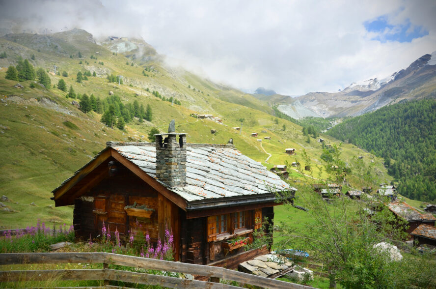
You’ll bunk in a mix of mountain huts and village inns, each with its own alpine charm.
You’ll find an offer of dorms or private rooms for €40-80 per night, typically half-board (dinner and breakfast included).
Mountain huts like Cabane du Mont Fort (2,457 m/8,061 ft) or Cabane de Moiry (2,825 m/9,268 ft) are rustic gems with shared dorms, cozy vibes, and glacier sunrise m0rnings.
Book these at least 6-12 months out. Spots fill fast, especially in July-August.
Most huts have basic facilities like shared bathrooms and no hot showers. Make sure to pack a sleeping bag liner and earplugs for snorers.
Villages like Arolla or Zinal offer hotels or guesthouses with more comfort, like private rooms at Hotel du Glacier in Arolla (€60-100/night). These are great for recovery days, with hot showers and Wi-Fi. Some hikers mix in camping to save cash, but you’ll need to check local regulations and carry extra gear.
What will I eat?
Food on the Walker’s Haute Route is a highlight.
You’ll fuel your trek with hearty Swiss dishes that warm the soul after long days. Mountain huts will serve you classics like rosti (crispy potato pancakes), fondue, raclette, and vegetable soups, often with fresh bread or polenta. You’ll get generous portions for €15-25 per meal.
Breakfasts are simple but filling: muesli, yogurt, bread, and coffee. Pack high-energy snacks like nuts, dried fruit, and energy bars for trails. Huts don’t always sell lunch supplies.
Villages like Zinal and Arolla have small shops for resupply. Stock up on cheese, chocolate, or local sausages in Sembrancher. Vegetarian and vegan options are increasingly common, but call huts ahead to confirm, as remote spots may have limited menus.
Carry a reusable water bottle (1-2 liters); streams are safe with a filter (like a Katadyn BeFree). Local eateries in Le Châble or Zermatt, like Zum See, offer treats like Valais wines or apple tarts—budget €10-20 for these.
Should I do the Walker’s Haute Route with a guide?
Going with a guide makes the Walker’s Haute Route safer, smoother, and honestly, more fun, especially if you’re new to alpine trekking.
Guides know the terrain cold. They’re well-versed in spotting loose rocks, navigating fog, or rerouting around sudden snow. They are also trained in first aid, a lifesaver if you twist an ankle on a big col.
Logistics? Handled. They book huts, sort transfers, and plan meals, so you’re not stressing over sold-out beds or missed buses. Guides will also share local secrets, like the hidden meadows near Lac des Dix or the best rosti spot in Zinal.
Additional Tips for a Successful Walker’s Haute Route Trip
Test gear on weekend trips; break in boots to dodge blisters and check your rain jacket holds up. Learn basic French or German—“bonjour” or “guten tag”—to chat with locals.
Budget for treats: a glass of Valais wine in Le Châble (€5-8) or fondue in Zermatt can really elevate the adventure.
Join online forums like TrekkingPals or Reddit’s r/Hiking for real-time trail updates. Hikers often share weather tips or hut availability.
Pack light but smart: sturdy boots, layered clothing (merino base, fleece, waterproof shell), trekking poles, and a first aid kit with blister plasters.
Most important? Stay flexible. detours to spots like Lac Bleu or a quiet cafe in Evolène often become trip highlights. Embrace the unexpected; that’s where the magic happens.
The Walker’s Haute Route Awaits
The Walker’s Haute Route will carve itself into your soul. It’s 180 km of glaciers, passes, and villages that deliver pure, untamed magic.
Whether you go guided with 57hours’ local pros or self-guided with our support, make sure to hike it your way. Fast, slow, or somewhere in between.