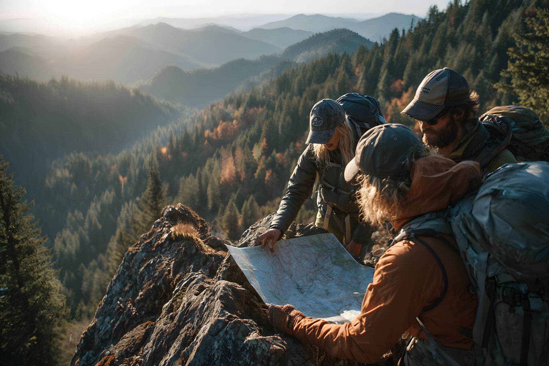

We kick off with the fundamentals of analog land navigation: reading topographic maps, interpreting contour lines, and understanding how terrain translates from paper to the ground beneath your feet. We cover compass work in the classroom: declination, taking accurate bearings, and triangulating your position before heading into the field for practical exercises in real Colorado terrain. By the end of the day, you can navigate confidently without ever touching your phone.


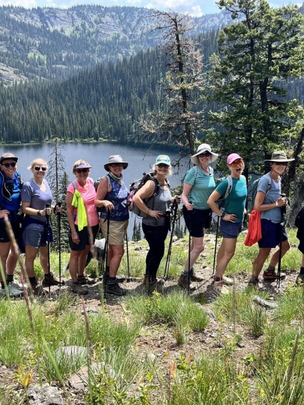
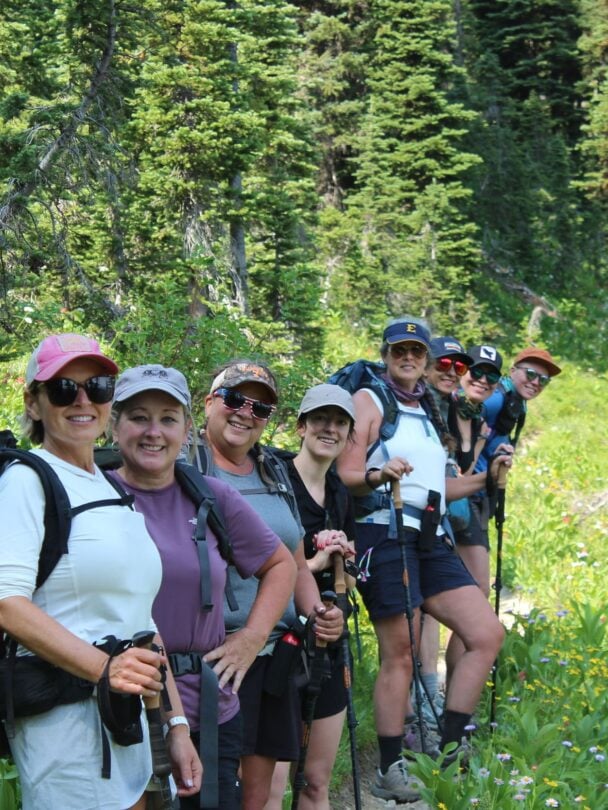
Top ChoiceWomen-Only
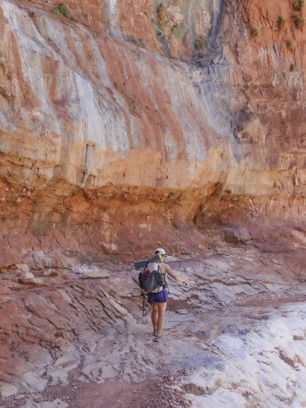
Grand Canyon | Arizona
All-Women Rim-to-Rim Backpacking Adventure in the Grand Canyon
From $2,450
| 5 days