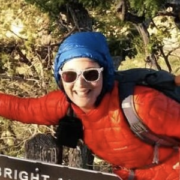
El Cajon Mountain, known locally as “El Capitan,” or sometimes just “El Cap,” is one of those hikes that makes you feel like you’ve made it as a hiker. Even if it’s among the smaller southern California mountains, it hosts some of the hardest hiking you’ll find in San Diego County. Summiting it via the rugged, steep, and exposed trail is an essential part of the infamous San Diego Six-Pack of Peaks hiking challenge. Locals also use this as a training hike for Mt. Whitney and other Sierra peaks and a good friend trained for a Pacific Crest Trail thru-hike on this mountain.
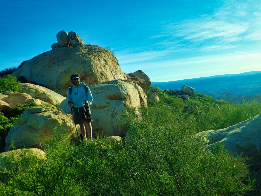
El Cajon Peak has a prominence of 1,955 feet—meaning you can see it against the skyline for a long distance and there’s no easy way up. Part of the Cuyamaca Mountains, El Cap is a high peak in eastern San Diego with a wilderness-like feel and granite boulders that remind some people of the hikes in Yosemite National Park (hence the nickname).
A Steep Trail Worthy of a Workout Takes You to El Cajon Peak
For the fit and adventurous, the steep route up El Cajon Peak travels 11 miles and 4,000 feet of gain to a wild summit filled with granite boulders. Start early and bring plenty of sunscreen—this trail has very little shade and no water along the way.
While technically open to leashed dogs, I think it’s best to leave your pets at home for this one. This is one intense hike that gets incredibly hot, is very long, and ridiculously steep, so it’s really only accessible for the most hardcore of four-legged (and two-legged) friends.
I’ve heard hikers call El Cajon “uphill both ways,” and that seems accurate given the roller-coaster-like up-and-down profile of this hike. The trail follows a steep old mining road, making even the descent to be a tricky affair. I’d advise bringing trekking poles to help on the way up and down. I usually don’t carry trekking poles, but was incredibly happy to have them last time I descended this peak.
I’d also recommend good hiking shoes or boots with excellent traction, stability, and support. The trail is quite rocky towards the top and twisting an ankle is not something you’d want to do in this remote place.
I’d advise carrying at least 3 liters of water and tackling this hike in the winter only. It’s so exposed that I’ve been hot hiking downhill at 10 am in January. The hike gets so hot that the San Diego County Parks department closes it down completely in August.
How to Hike El Cajon Peak
The first half mile takes you up a mix of paved and gravel roads to the “official” trailhead — your last opportunity to use an outhouse. As you ascend the trail (really, a wide, old road), you’ll see thick chaparral on either side and your first views of granite boulders. It’s easy to navigate the trail, but the loose dirt can make ascending it tricky.
With this kind of terrain, I’d advise wearing shoes with excellent traction and timing your hike for a day or two after a rainstorm (the extra moisture makes it easier for feet to stick to the soil).
The trail isn’t a direct five miles up to the summit. At times, it flattens before ascending some very steep hills. Sometimes, it goes downhill for a while, which I find a bit upsetting after all the effort required to climb. The closer you get to the summit, the rockier and more eroded the trail becomes.
On the plus side, navigation is easy on this hike. The trail is marked with signs showing the mileage and maps showing where you are relative to the elevation gain you have ahead.
As the trail gets rockier and the ascent more unrelenting, I like to remind fellow hikers that it is ok to take plenty of breaks. You’re in one of the most beautiful places in the county, and the views are incredible. Don’t be ashamed to take a breather and a photo. There’s even a metal bench at an overlook halfway up specifically for this purpose.
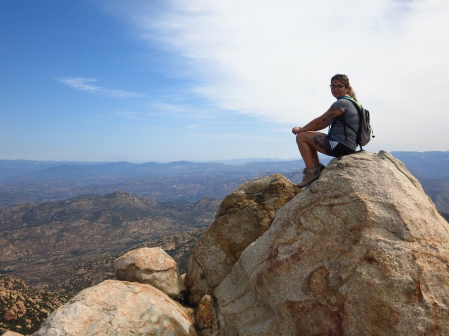
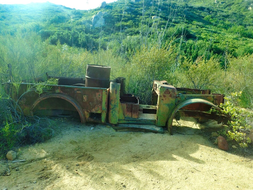
A few miles in, there’s a side trail to a mine shaft. Otherwise, continue to the summit, passing a rusted-out old truck that looks like it dates back to the mining days. The summit is nearby, just past the five-mile post. One last bit of rocky scramble leads to a boulder-filled summit. It feels like you’re in a distant land quite different from everything else in the county.