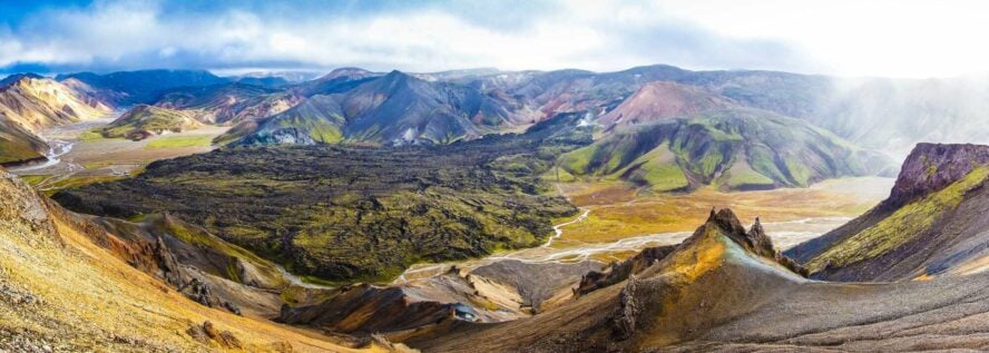
The 4 kilometers (about 2.7 miles) loop around Laugahraun Lava Field is one of the most popular day hikes in the area, and well suited for any kind of hiker.
A beginner-friendly hike in Landmannalaugar
The lava field formed about 600 years ago sits at the base of Mount Brennisteinsalda. Leaving the Landmannalaugar hut, the trail rises up, winding through basalt and obsidian while steam rises from cracks in the earth. You’ll skirt around the bases of Bláhnúkur Mountain and Mount Brennisteinsalda—you can do an out and back here to hike up—before circling back, following a river. The trail features a bit of scrambling, which I’ll say is fun for beginners and experienced hikers alike.
Being one of the easiest and most accessible hikes in the area, walking along the Laugahraun loop can feel like you’re moving in a herd. So if you’re an especially fast hiker that doesn’t like getting stuck behind slower folks, I’d be wary of this one.
