-
Treat yourself to a 4-day Icelandic experience on one of the most admired trails in the world and explore a wide array of landscapes with an expert guide. Revel in the views of lava fields, icy river-crossings, canyons, black volcanic rocks, spouting thermal vents, and more as you hike this 35-mile long trail. Bond with your group over a meal, get a glimpse of the authentic Icelandic culture and rest in comfortable heated mountain huts along the way!
-
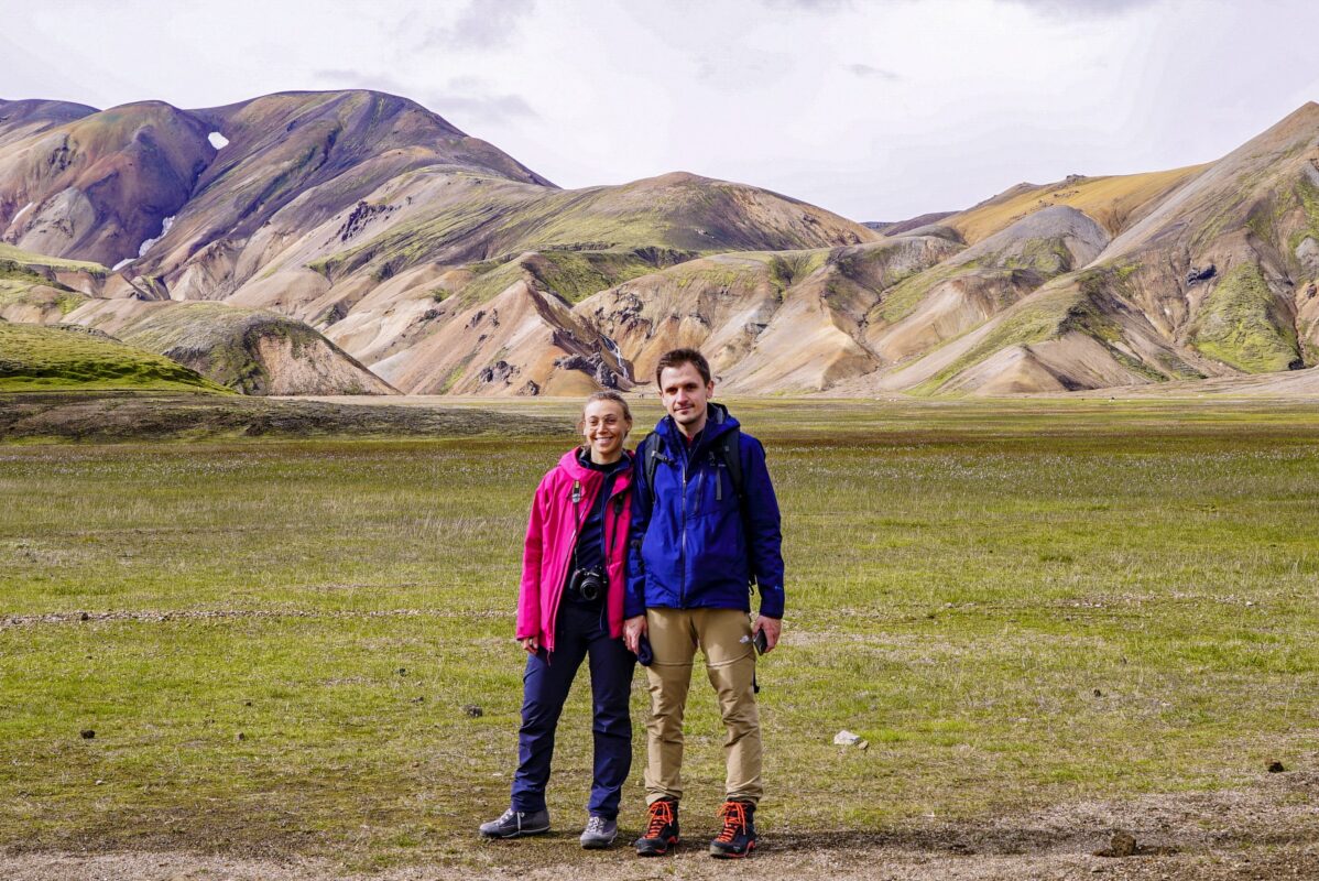
You’ll meet your group at the meeting point in Reykjavik city, BSI Bus Terminal and load the luggage into the bus. The drive to Landmannalaugar is a magical experience as you drive through many different contrasts of landscape and vegetation. As you move from the populated part of Iceland into the desolate black highlands, you will see many beautiful sights along the way in Fjallabak nature reserve. Enjoy the view of the incredible colors of Landmannalaugar: black, red, orange, green, blue—all coming together in the rhyolite mountains. Arrive at the hut and start getting to know each other as the guide goes over the itinerary for the next few days. In the evening, cook your first highland meal together and have a good time.
Those who are interested in really soaking in nature can take an evening dip into the geothermally heated pool (up to 40°C!) that the name of the place derives from, as the name Landmannalaugar directly translates to “The People’s Pools.”
-
The first part of today’s hike leads up to the lava field of Laugahraun and heads downhill before heading up again to the plateau below Mt. Brennisteinsalda. It is a good idea to stop here and look at the flora, mountains and gorges in all colors of the rainbow. The trail continues up on to the plateau, where small ravines cut into the landscape as the rivers shape the soft mountain. The way ahead is all uphill, but it is not extremely steep. Your next destination is Stórihver, a beautiful vegetation spot right next to a whizzing geyser. Stop, rest your legs and get a bite from your lunch box. The rest of the trail runs along the slopes of Reykjafjöll. The area is a valley bottom which is mostly flat, but there are a few ravines that should be crossed extra carefully since they are often half-full of snow. Next, hike west of Kaldaklofsfjöll and up and down through ravines until you reach the edge of Jökultungur. Take in the views over the whole trail and the three glaciers, Tindfjallajökull, Eyjafjallajökull and Mýrdalsjökull. The road down Jökultungur is quite steep and rocky and at the bottom, the Grashagakvísl river awaits! In some cases it can be crossed on a snow bridge. If not, you need to ford by wading on foot. From there, it’s an easy route to the hut in Álftavatn lake, where you will spend the night.
Hiking: 8-10 hours
Distance: 24 km (15 mi)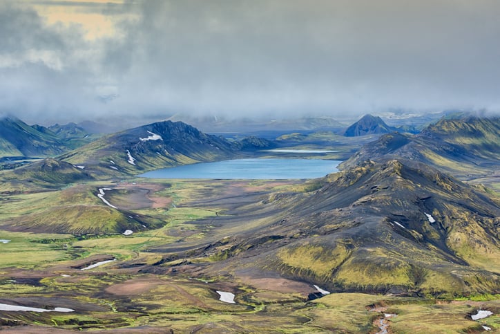
-
From Álftavatn, the trail goes over Brattháls and continues east to Hvanngil. The Bratthálskvísl river is without a bridge and needs to be forded by foot which in most cases is relatively easy. In Hvanngil, hikers can use the toilet facilities. There is a short walk to the river Kaldaklofskvísl, which can be crossed on a footbridge. Just south, is another river, Bláfjallakvísl without a bridge. Now the route lies mostly on the main road until the river Innri-Emstruá is reached. It has a bridge but you’ll have to tread through some water as there is an overflow that bypasses the bridge. Afterwards, the trail takes you south to Emstrur, where the land is practically without vegetation. The trail lies between two mountains called Útigönguhöfðar and in about an hour, you should reach the Botnar hut in Emstrur!
Hiking: 6-7 hours
Distance: 16 km (10 mi)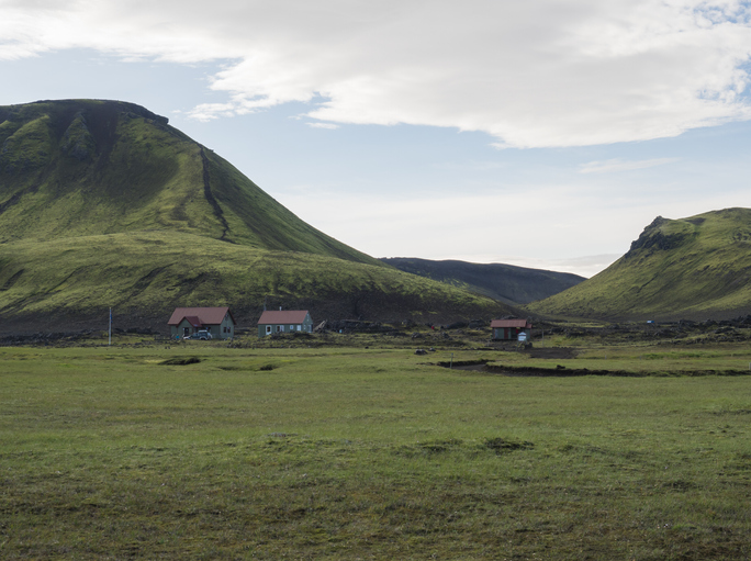
-
Your last day in Laugavegur! Hike to the bridge over the Syðri-Emstruá, a river that flows into a narrow deep canyon that reaches most of the way to Entujökull. Keep in mind that people with vertigo sometimes struggle to get to and across the bridge. From there, the path takes you along Langháls, towards the junction of the rivers Markarfljót and Syðri-Emstruá. It is recommended to walk to the edge of the gorge where the rivers meet, before hiking south through Almenningar. Take a lunch break and rest in one of the two small ravines, Slyppugil and Bjórgil. A short hike up gradually leads you to an area with more vegetation called Úthólmar. The last point on the trail is called Kápa or “coat”, where you’ll have to ford the river Þröngá. The river marks the boundary of Thorsmork, meaning there’s about half an hour of hiking through the pleasant woodland Hamraskógar before you arrive at the Skagfjörðsskáli cabin in Langidalur, Thorsmork. From here, board a bus and travel back to Reykjavik!
Hiking: 6-7 hours
Distance: 15 km (9 mi)Interested in more adventures? Discover other hiking trips in Iceland organized by the best guides!
-